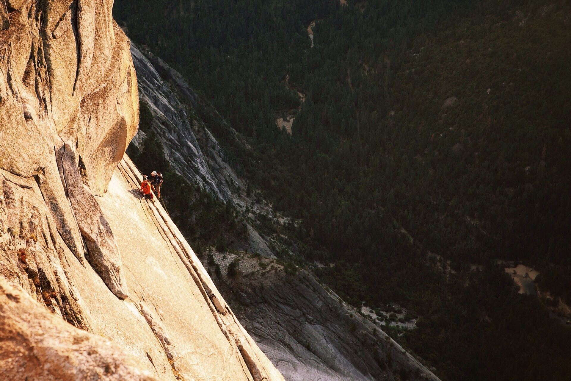
This is the kind of post that might start with something cliché like "Sometimes you find the adventure and sometimes the adventure finds you." Or maybe even "This is why you don't make plans."
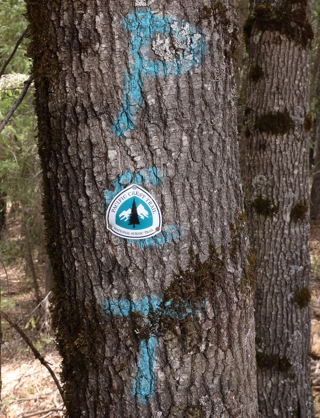
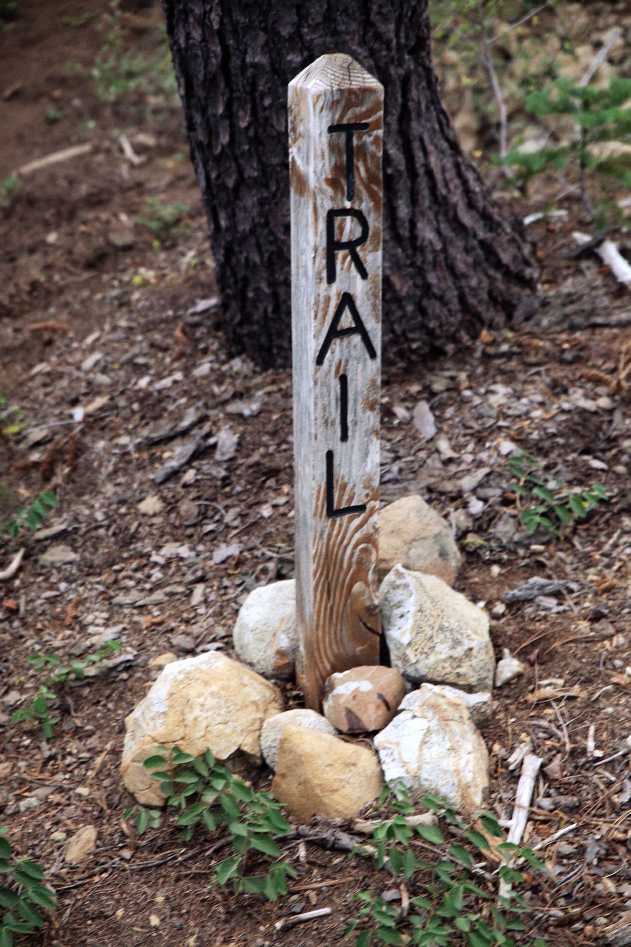
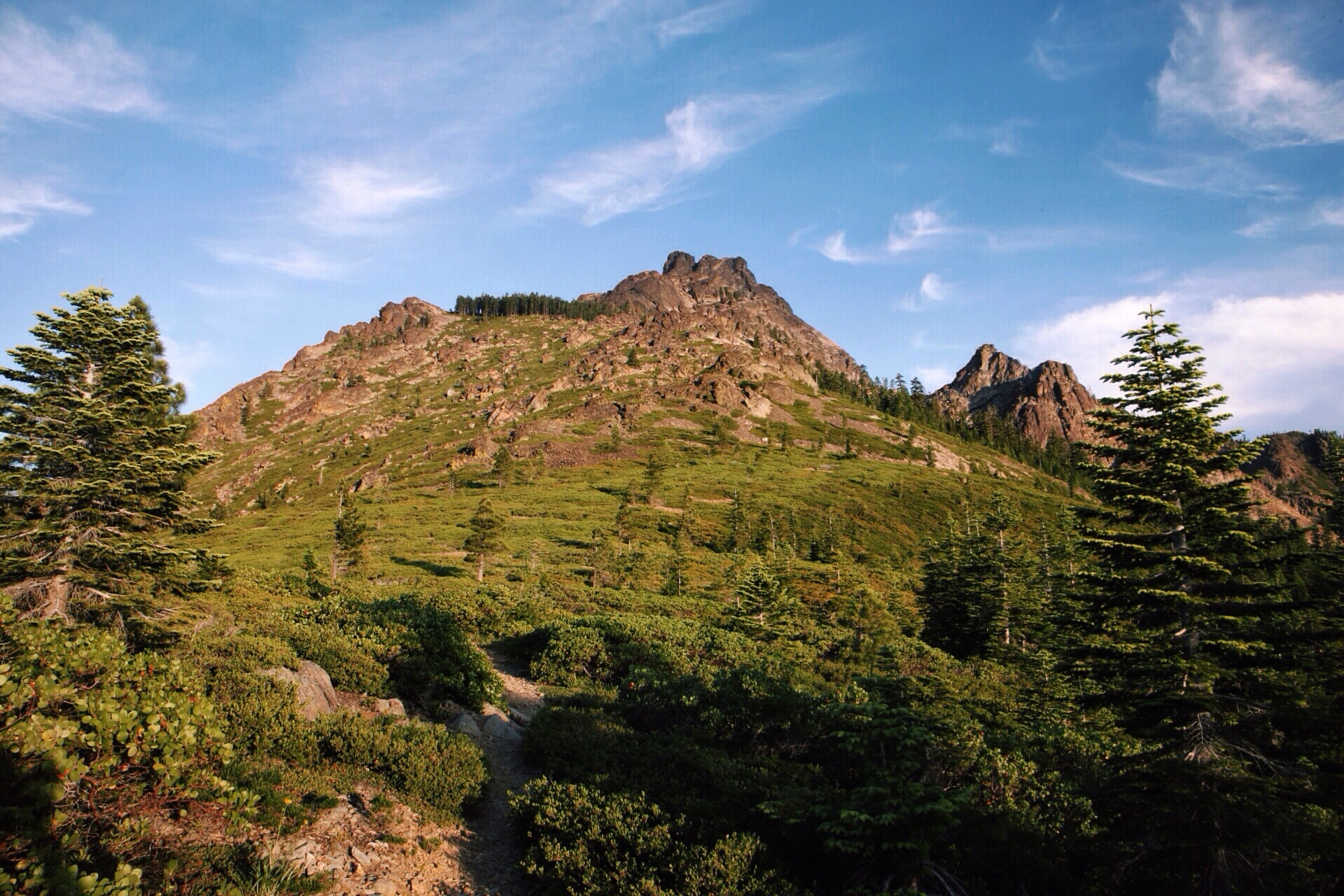
The last day of California Jonathan gently convinced Dan to hike a 52 mile challenge into Ashland. While it might have been best to get up and going by 3:30am we got out of "camp" about two hours later than that. We were not exactly fresh - we literally slept on the trail, and we only slept there for about six hours after a night hike which included a 5000ft climb out of Seiad Valley.
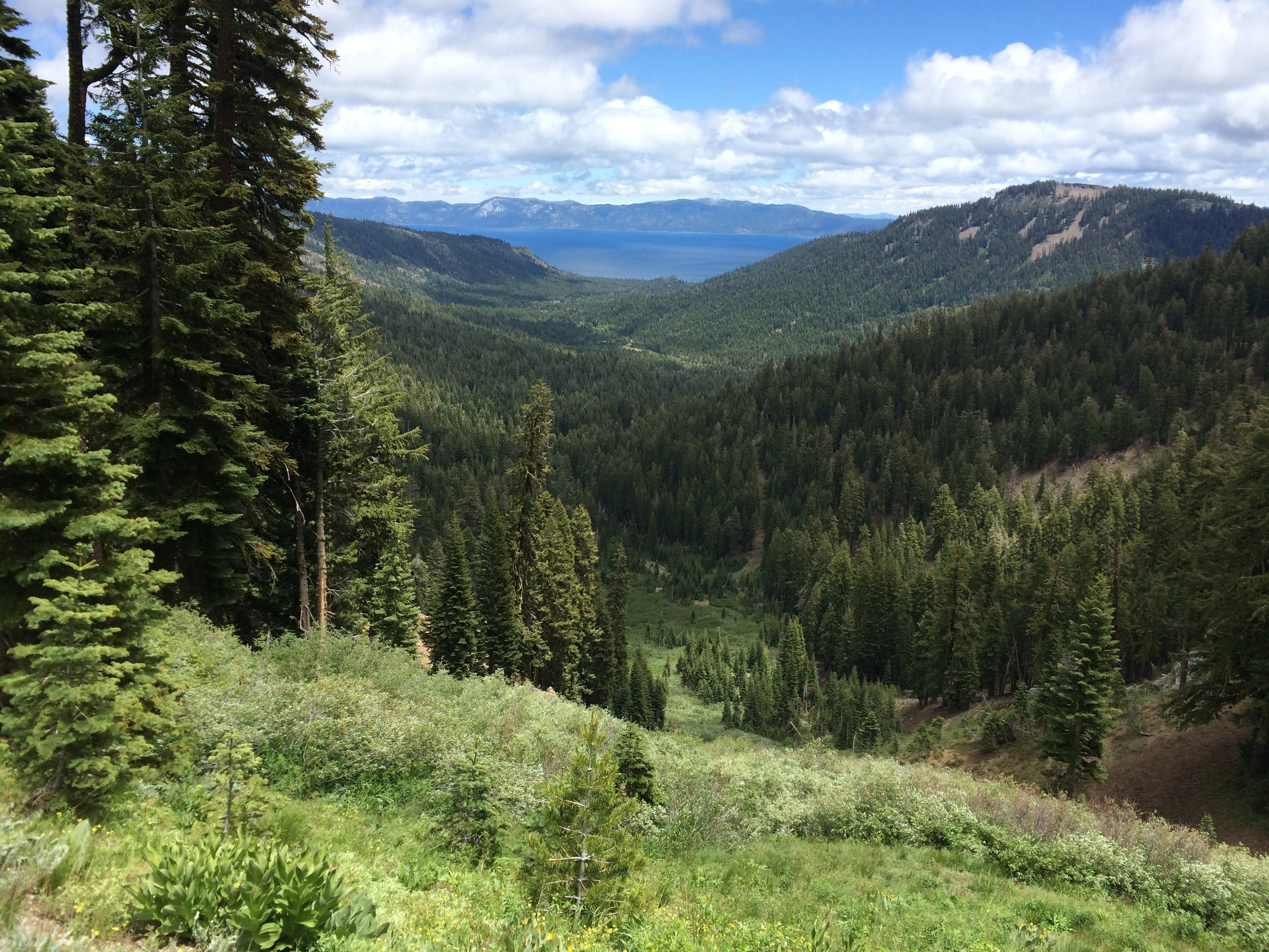
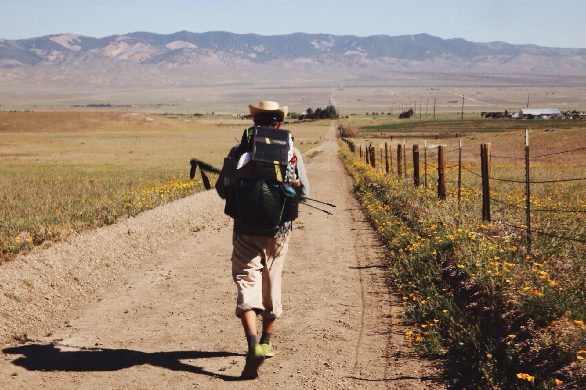
Once we got going we put big miles behind us. We still weren't making outstanding time, but it could be done. After a quick lunch at the Oregon border we trudged back out into what had become a sweltering hot day. By 8:30 p.m. we had hit the 40 mile mark. Jonathan wandered up a ridge to see the sunset. It looked as glorious as ever with {blah blah flowery language about pretty colors}. As Dan followed we heard some voices and saw a fire. "Do you guys want a beer?" they said to us. Of course we do! They were amazing people. There were six of them, a little boy and a dog. They gave us beer and smoked salmon. Dat smoked salmon doe. On top of being generous, they were extraordinarily cool people to hang out with for an evening. At first we felt bad, since it was sort of a going away gathering for one of the guys, but they insisted that they had all secretly been wanting to magic stuff to PCT hikers but hadn't gotten a chance. Now they had one. At 10pm we were talking about hiking out and sleeping by the highway. A few hours past, and by midnight we knew we weren't hiking any farther. These gregarious people from Ashland truly gave us the best welcome into Oregon that we could have asked for.

Good company and a campfire are a great start to an evening. Especially when they're unexpected.
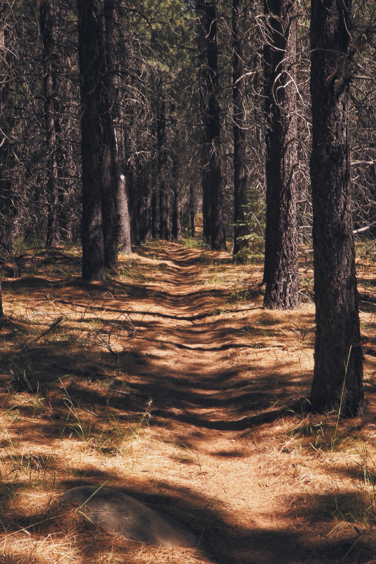
Things were off to a good start. We finished out the last 12 miles early the next morning to make it into Callahan's Lodge.
While crossing an outer road to I-5 a big white van pulled over to the side of the road. After honking and rolling down the window the driver yelled over to us "Beerman!" Dan turned, his eyes lit up and he shouted "I'm getting in the car with those strangers!" as he raced off to the van. Jonathan could do nothing but sit and stare confused as his hiking partner rushed off to a car of strange people. These "strangers" turned out to be a mentor of Dan's from college and Alpha Phi Omega (community service org) and his wife. The amount of chance involved for this meeting is astounding - we're talking alignment of the planets. They had planned on meeting Dan, but had to return to Ashland, Missouri. They left a note at the trailhead and were on the on-ramp to drive when our paths crossed. The couple (Paul and Charlotte) drove us into Ashland and bought us beers. After Paul and Dan spent some time catching up and marveling at the serendipity of our encounter the couple bid us farewell. They headed back toward Missouri while Dan and Jonathan ventured out into the metropolis of Ashland (pop. 20,000).
One delicious Indian buffet later, we knew that finding lodging needed to be at the top of our priority list. We were in a gear shop checking out a trail register when we came across names and numbers of some trail angels. Dan made a call, while Jonathan looked on with puzzled eyes. It seemed like the call went well, but all Dan said was that the guy was going to call us back. A few minutes later Dan received a call. It drags on a while. Somewhere along the way he looked up, smiled and gave a thumbs up. Now we had a place to stay for the night.
For the record, this formula is not a foreign experience for us. In college we moved after two years in a piece of shit house to an apartment. That apartment would have never happened without Dan's research and effort. Jonathan put forth enough effort to say thanks that Dan found us a place to live and to sign the lease.
It turns out that this trail angel is a former thru-hiker and angels for current hikers. He said we could stay at his place. Awesome! But wait, he's not even in town. His son may be around he said. The front door is unlocked, though, because of course it is. He asks that we keep things LNT (leave no trace) and clean up after ourselves, maybe grab some laundry detergent. Not a problem. We wouldn't dream of being anything but the most respectful guests - laundry, air conditioning, a safe place to leave the packs while we walk around town, a base camp. Seriously, when people show you the sort of kindness we have been shown you do everything you can to pay it forward and not take it for granted.
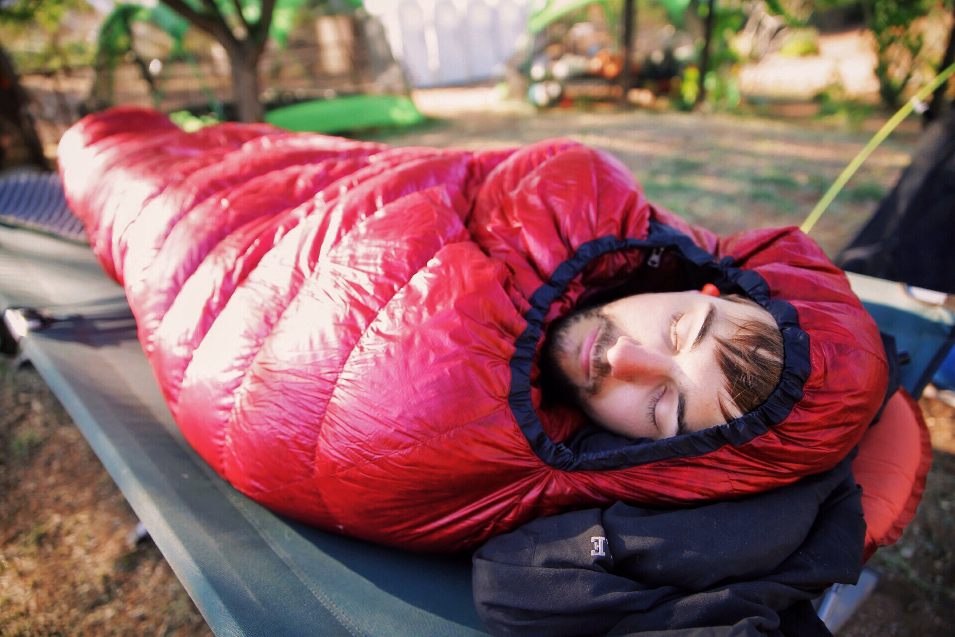
A good nights sleep, laundry and a shower later we felt like this adventure could not get any better.

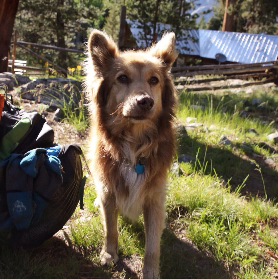
A little friend that came to hang out on the porch as we sipped on morning coffee.
Not only are beds pretty cool every once in a while, but being in an actual home felt comforting, even if we didn't really know this home's owner. By day three of this story Jonathan found himself lounging on the couch and writing a blog much like this very one. All of a sudden, in walks this late 20 something man that is super fit. Jonathan looks up as the young man says "Um, hi. You must be a hiker from the trail." It's said more like a question than anything.
"And you must be the son of (trailname of dude whose house we're in)," Jonathan said, equally as unsure of his own statement.
"Yeah," says the young man. "I run a fitness apparel company and I'm just here to grab this bag. You guys have a great hike and enjoy Ashland."
As fast as he was in the house he was once again out of it. Not only did he seem a nice fellow, but he seemed totally unphased by walking into his father's house to find hikers and all their gear sprawled across the living room.
At this point it is unclear if the levels of awesome and strange will continue to escalate at consistent intervals, but it seems possible. As it stands they are at an all time high. We are loving Oregon.
Needless to say, all you trail angels out there, everything you do for hikers and to maintain the ethos of trail culture is inspiring. Your actions demonstrate a humanity and consideration I want to carry into my own life.
Keep adventuring,
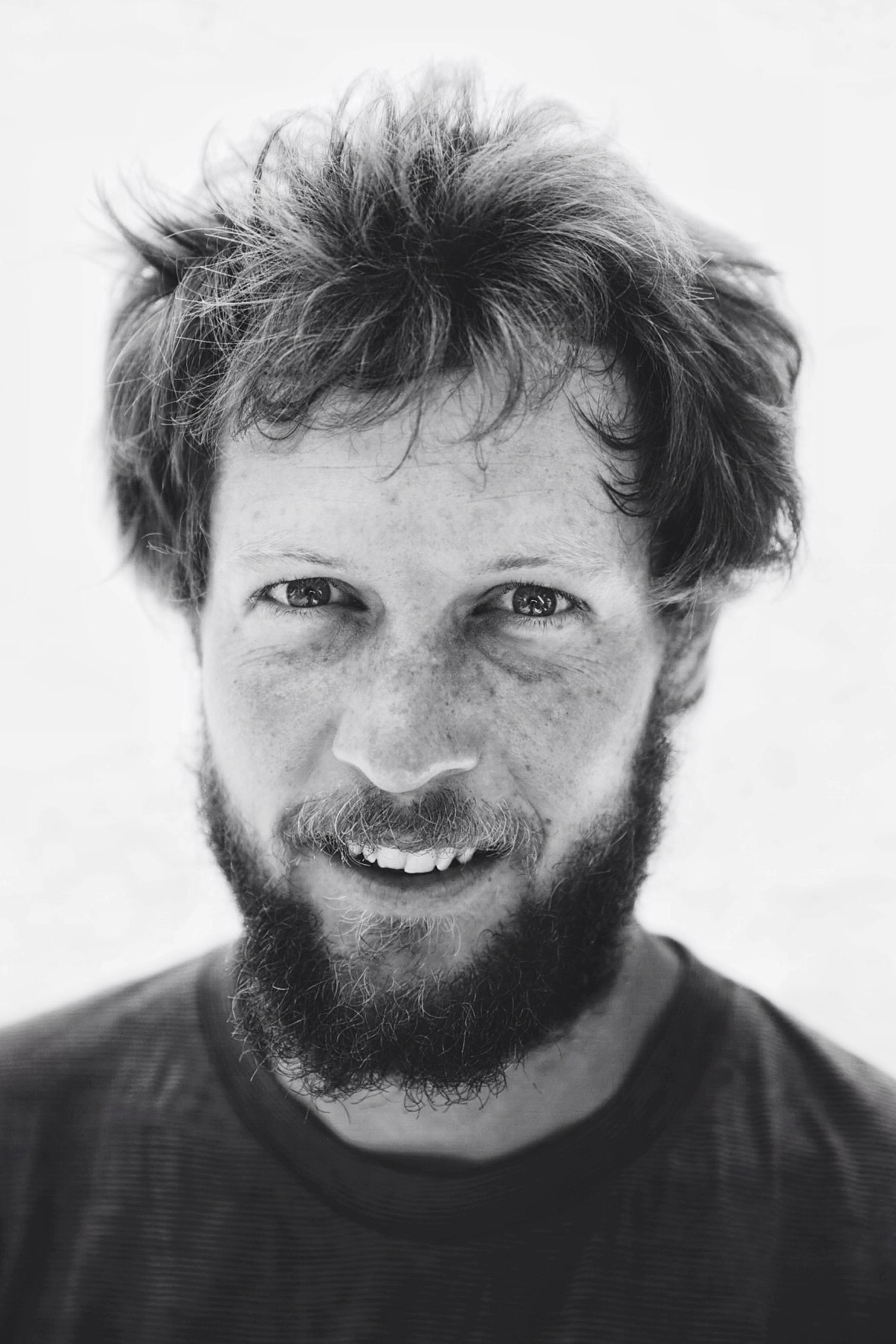
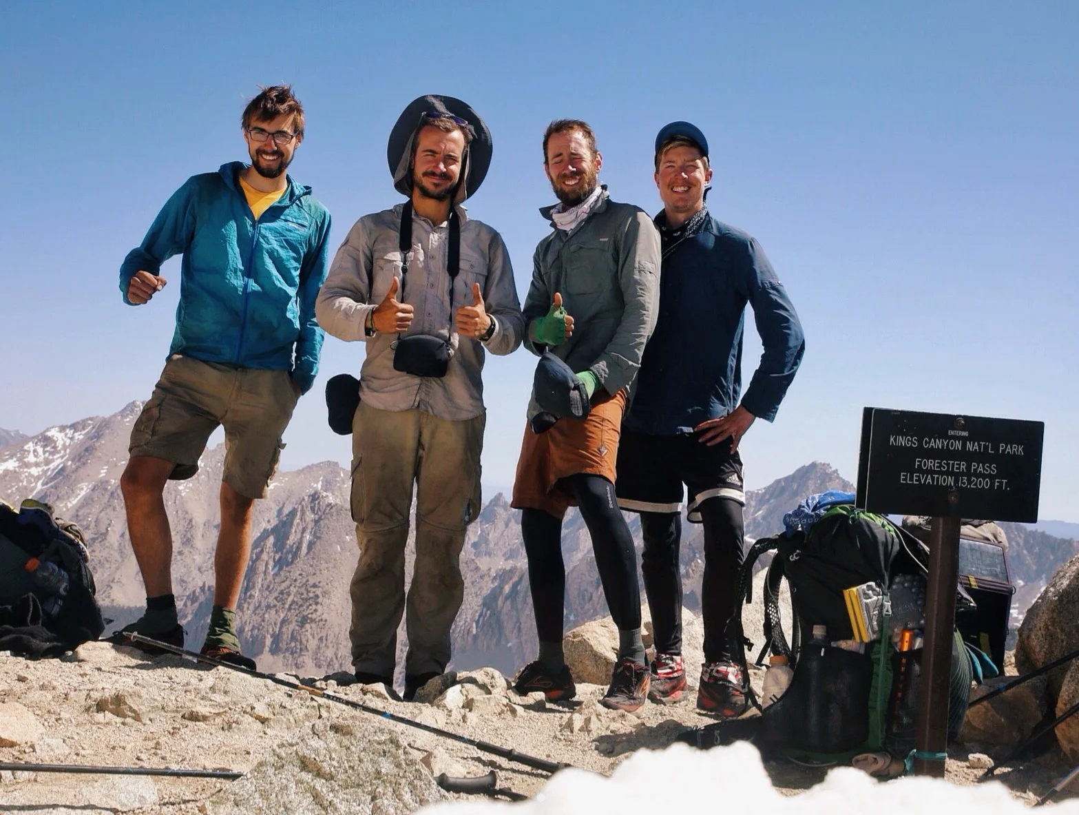
Dan and Jonathan


