The Many Deserts of Central New Mexico
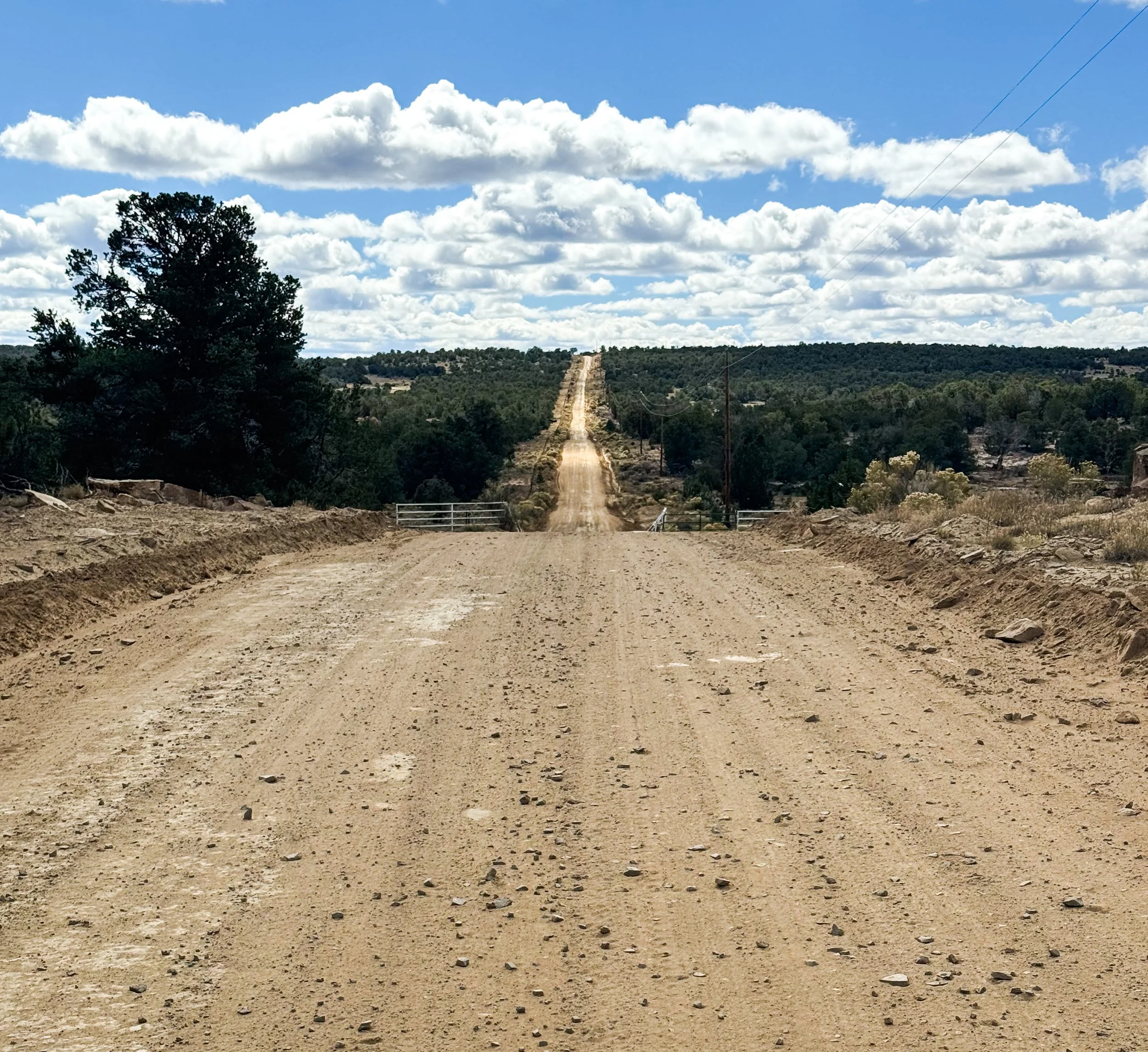
Between Ghost Ranch and Pie Town, the CDT alternates between wildly varying desert landscapes and painfully long road walks, Instead of staying high along the divide like the trail through Colorado, the trail through New Mexico only moonlights in the wilderness, then leads directly into each town, requiring long, tedious miles on county roads and state highways. The towns themselves – Cuba and Grants – are full of abandoned motels, boarded up windows, and “Beware of Dog” signs on high metal fences. Just north of Grants, our scenic road tour included a state penitentiary; the highest-rated restaurant in Cuba is a gas station (though the tamales were admittedly exceptional).
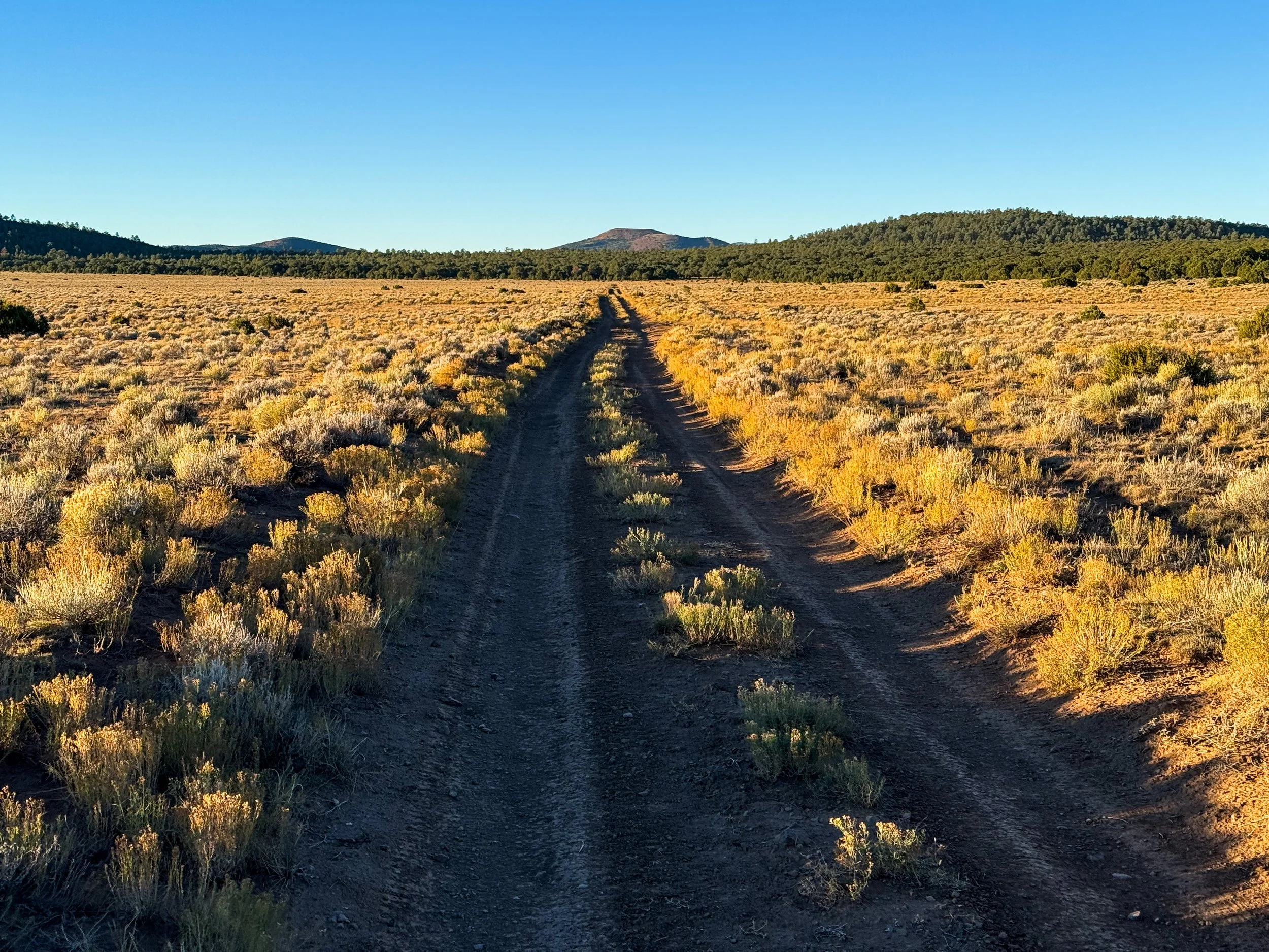
New Mexico has a whole lot of this: long, straight dirt roads with miles upon miles of privately owned forest on either side.
Molly’s parents joined us at Ghost Ranch, a guest ranch at the foot of a spectacular box canyon where Georgia O’Keefe lived and painted for a time. The two of them flew to Denver with an entire suitcase of hiker snacks, picked up our Subaru from a friend, and roadtripped down to New Mexico for a ten-day adventure along the trail. Betsey and Charlie helped us out with a lot of trail logistics, offering slackpacks between highways and meeting us in each town with our luxury resupplies (the entire Krumholz family puts a strong emphasis on quality calories – both on and off the trail – so we ate very well through this section). They also squeezed in some adventures of their own, checking out White Sands National Park and Canyon de Chelly National Monument while we hiked through the terrain less accessible from the road. It was really special for us to get this time with them and to introduce them to some of the CDT.
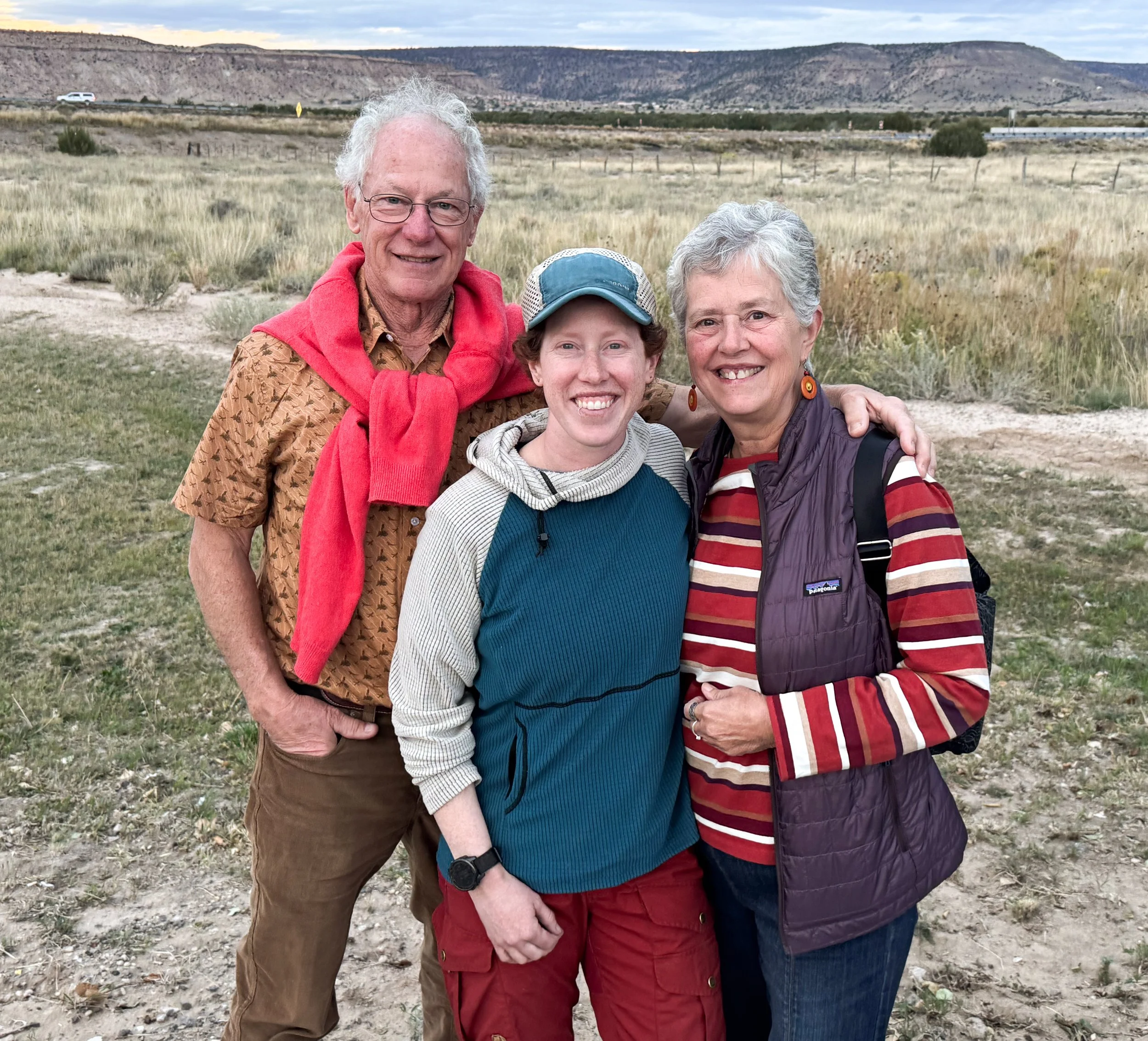
Molly (center) with her parents, Charlie and Betsey
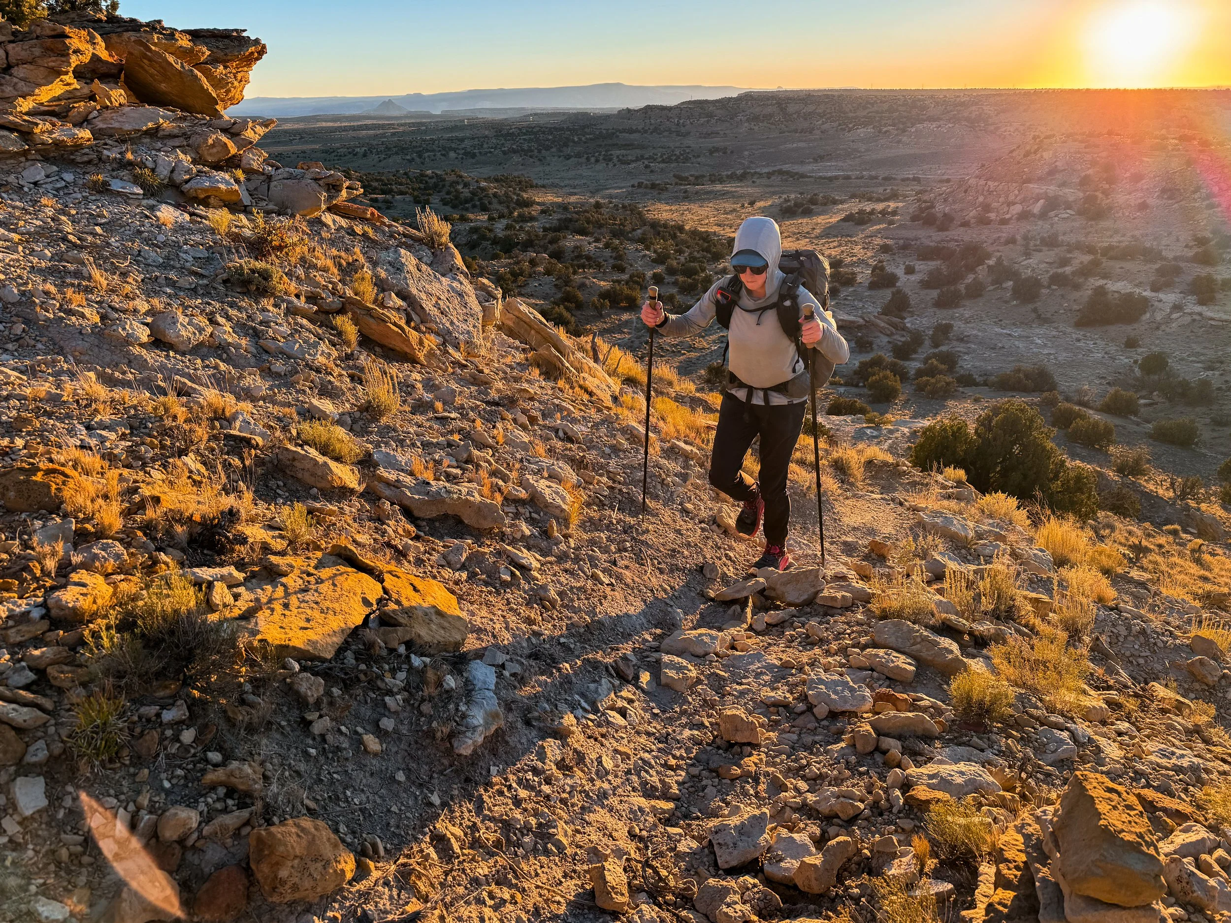
When the trail does venture into the wildness, it’s full of surprises. Just south of Ghost Ranch, the trail climbed through airy, open Ponderosa pine forests into an area that had burned sometime in the recent past. Then, descending into the Chama River Canyon Wilderness, we followed a silty creek. Flash flooding, compounded by burned out roots and bare soil, had washed the trail away completely. Piles of whole trees lay sideways against the few trees still standing on the banks, which had been carved into deep, sandy cliffs. We walked directly in the creek bed, imagining the water rushing fifteen feet overhead in the narrow canyon.
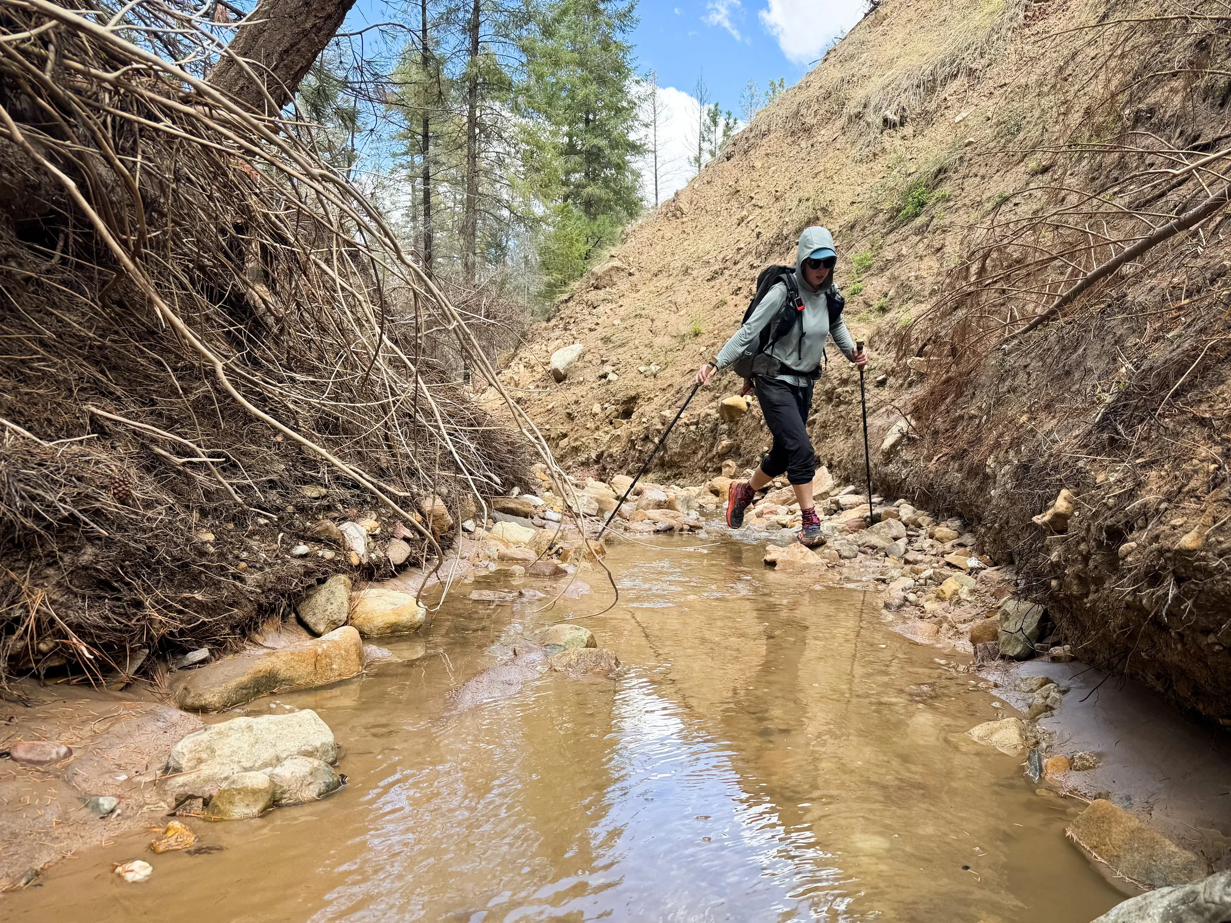
Molly navigates a creek with a washed out bank where brush has been piled up during recent floods.
Slowly, we picked our way downstream, clambering over boulders and branches until we found the trail turning away from the washed-out creek. When we emerged, we found ourselves in another desert landscape, surrounded by cholla cacti and scrubby junipers perched along massive red cliffs soaring above us along the Rio Chama.
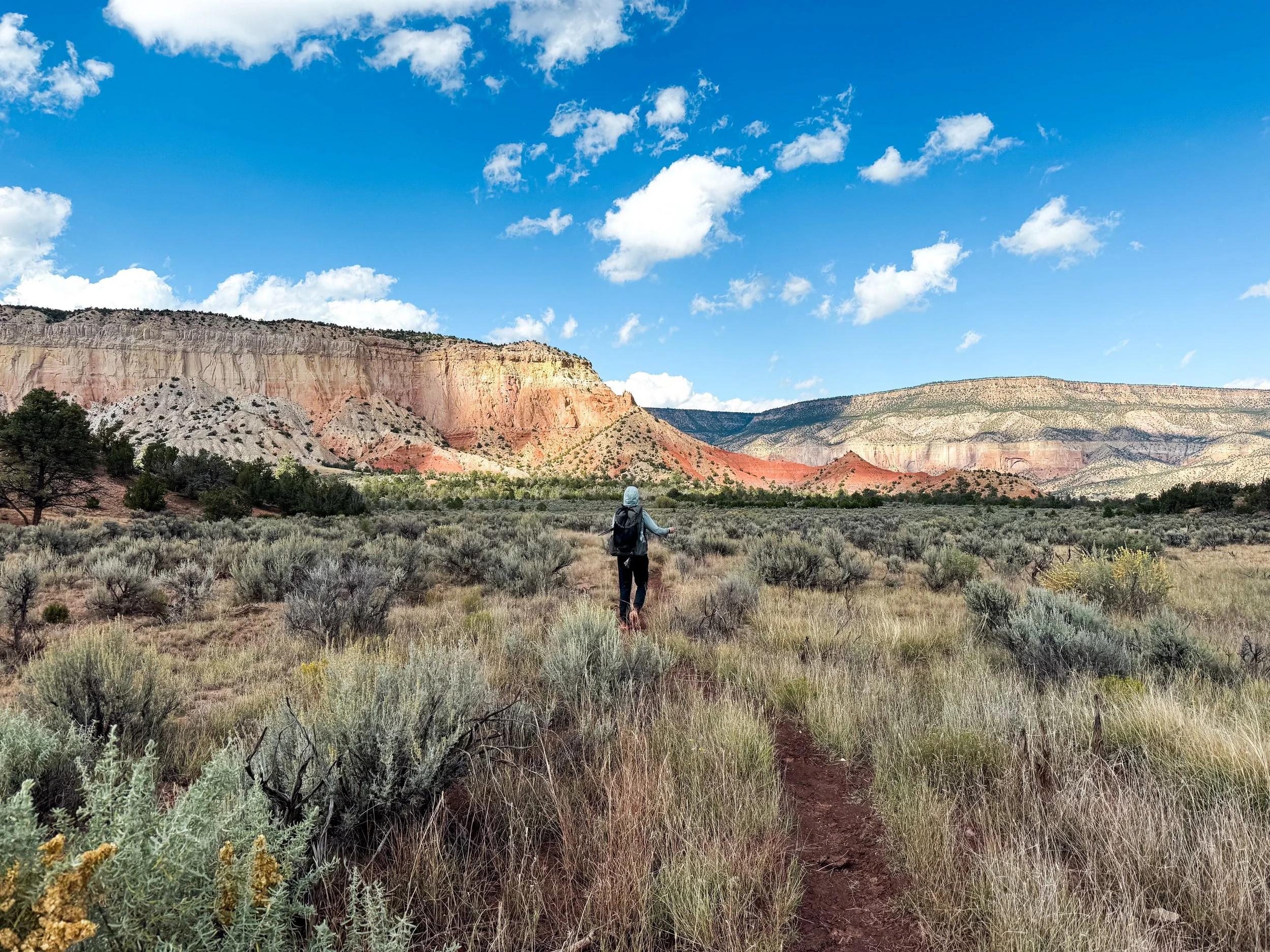
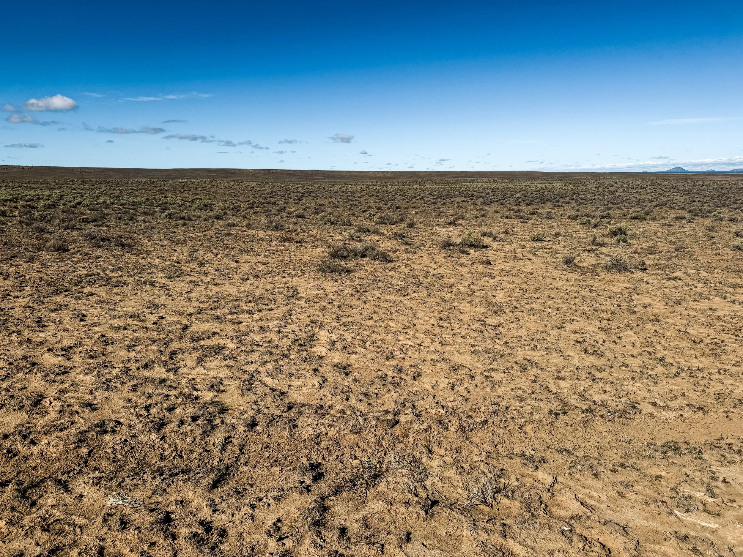
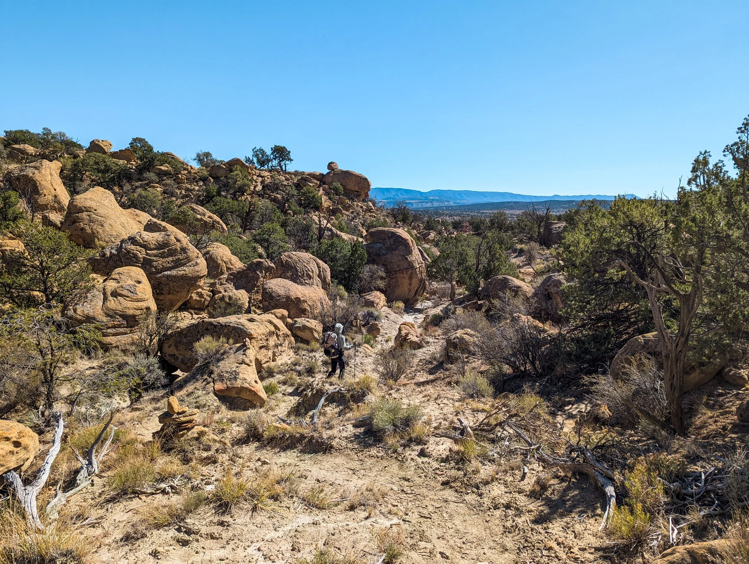
The New Mexican landscape is not a monolithic desert, but many unique deserts swirled around each other. One morning, we hiked amongst architectural sandstone formations where spiny crevice lizards flitted under scraggly sage bushes. As we climbed steeply up the side of a wide mesa, we suddenly found ourselves in a low, but dense forest of piñon pine where deer and elk roamed about, and the world’s fanciest squirrels scampered under the trees. Between miles of trail where the highest vegetation barely reached waist-high, the San Pedro Parks Wilderness isn’t a desert at all. Like a tiny Rocky Mountain conifer sanctuary, huge spruce trees are interspersed with broad meadows (the “parks”) with black bears, elk, and meandering streams.
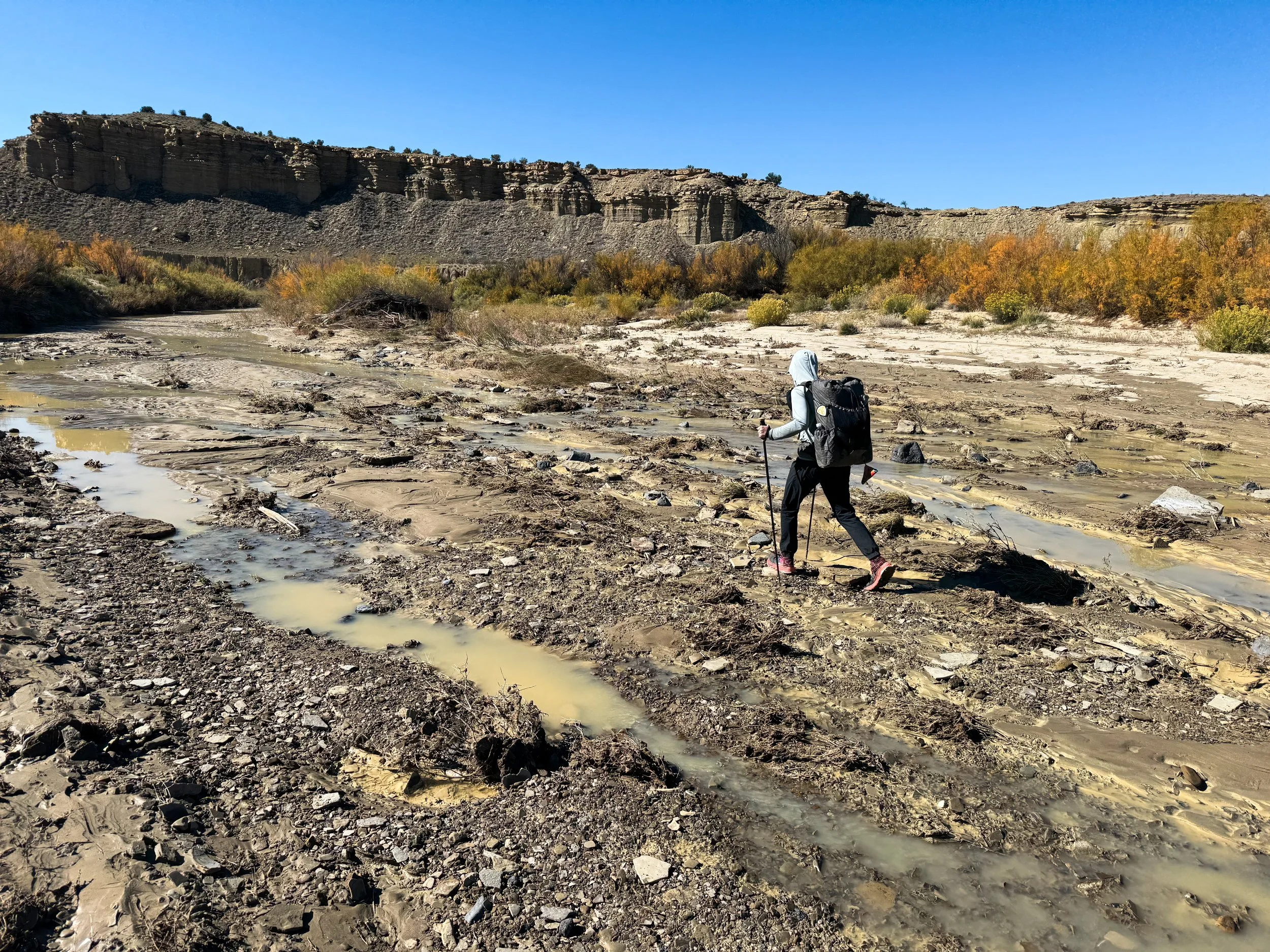
Molly rockhops across a wide, shallow wash.
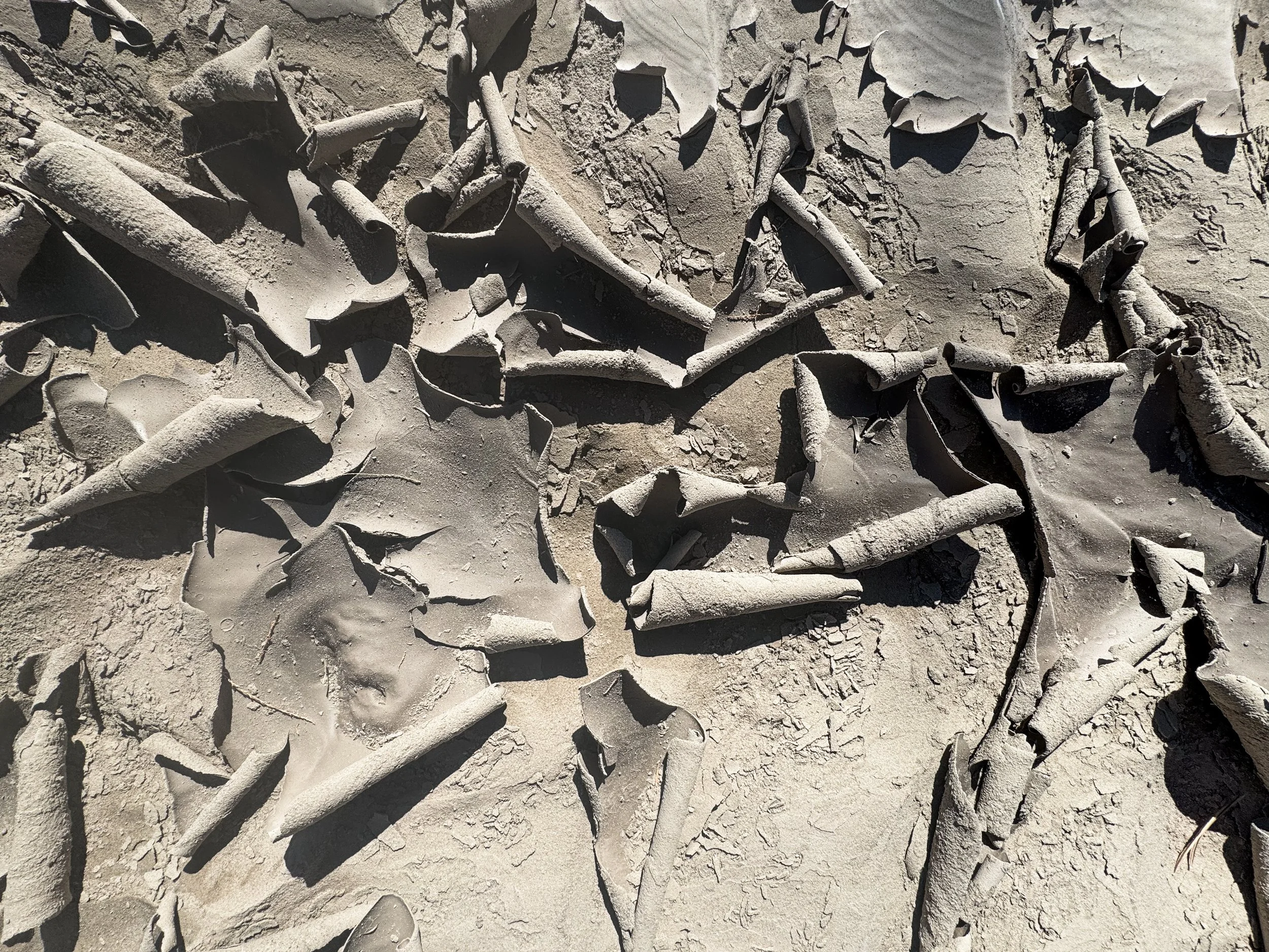
Dry curls of sand on the desert floor. They make a pleasing crunch when you step on them, like dry leaves in the fall.

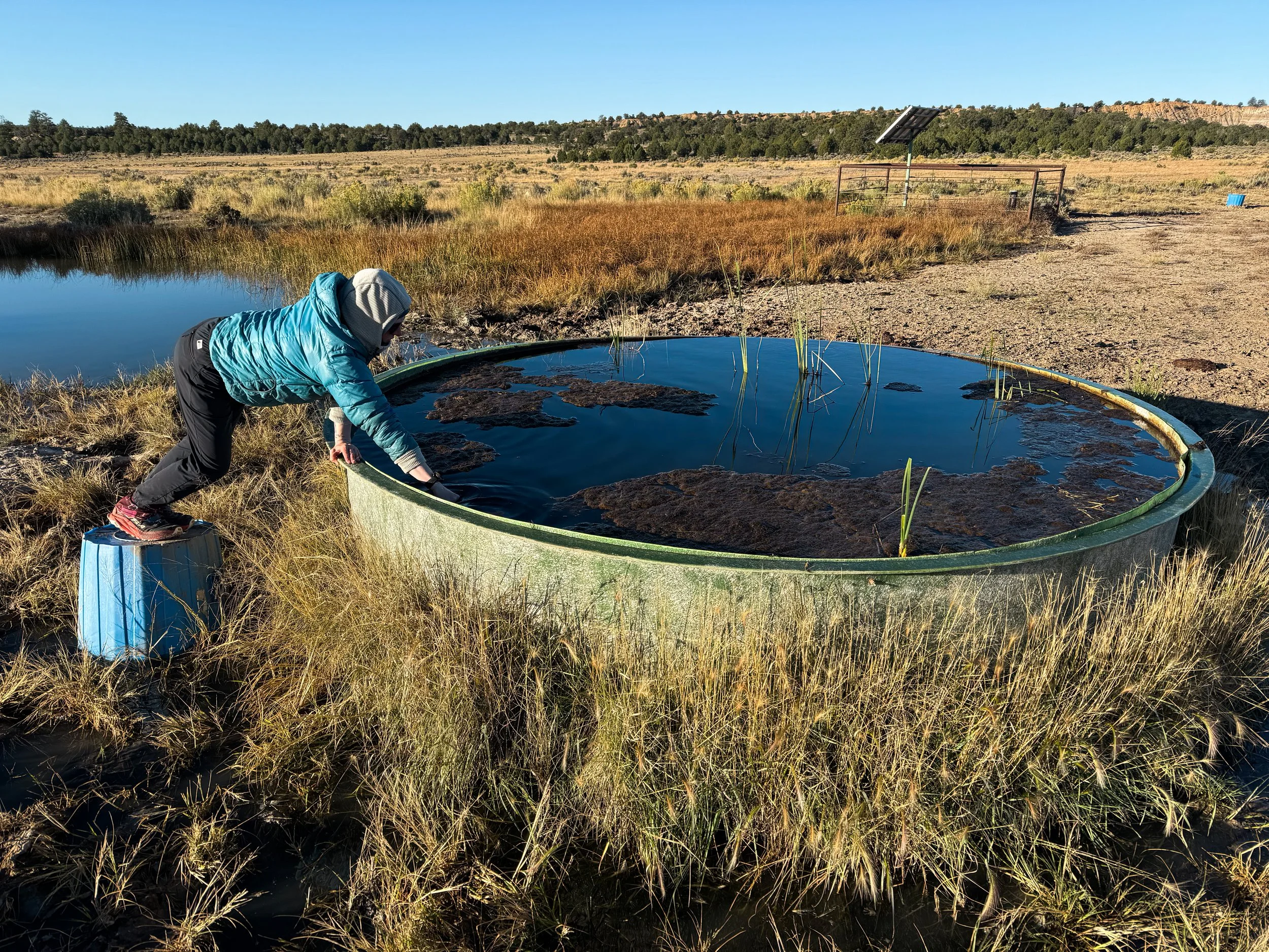
Molly perches on an overturned bucket and dunks our dirty water bag into a spring-fed tank. From there, we’ll filter the water into clean bottles.

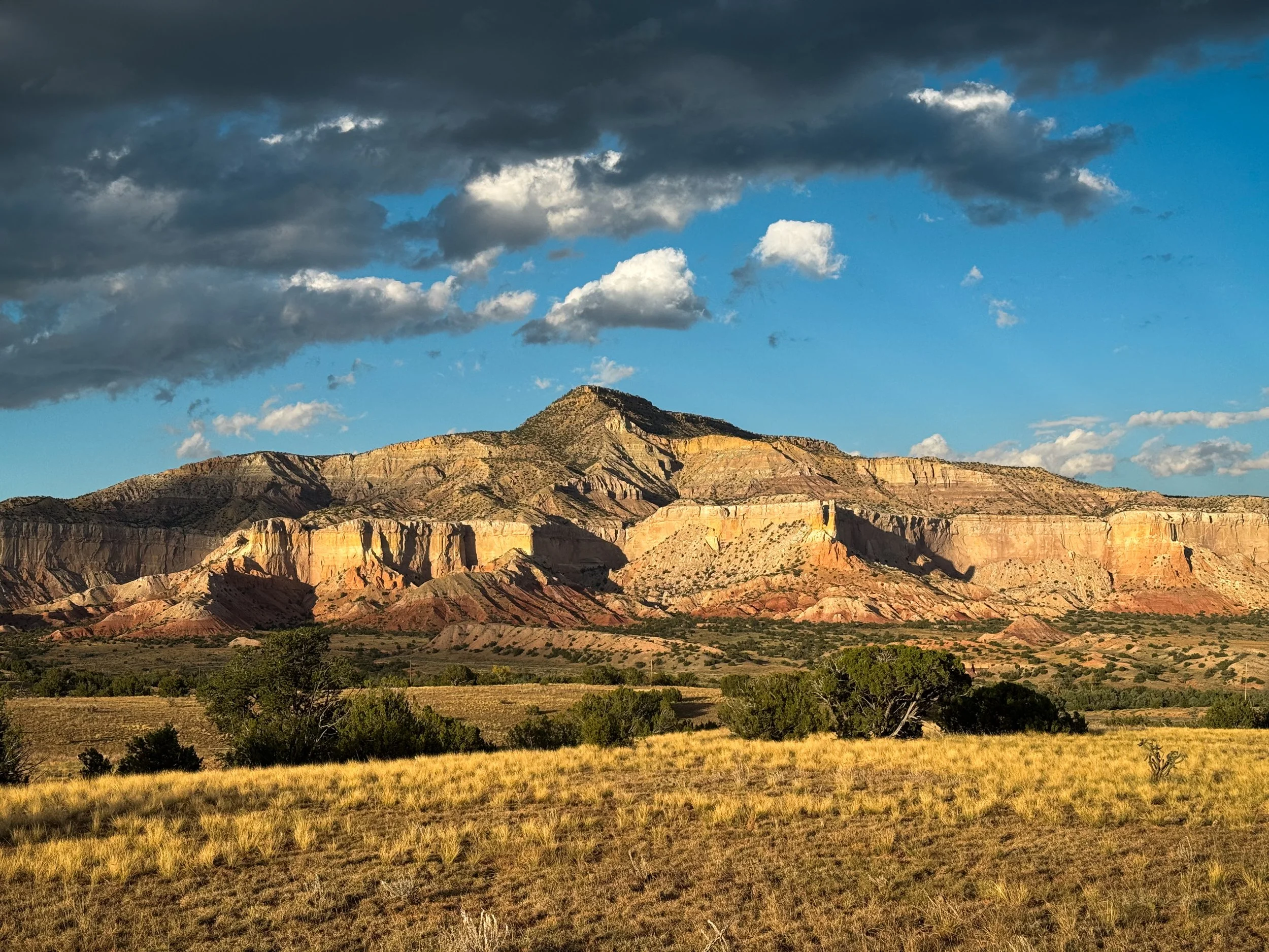
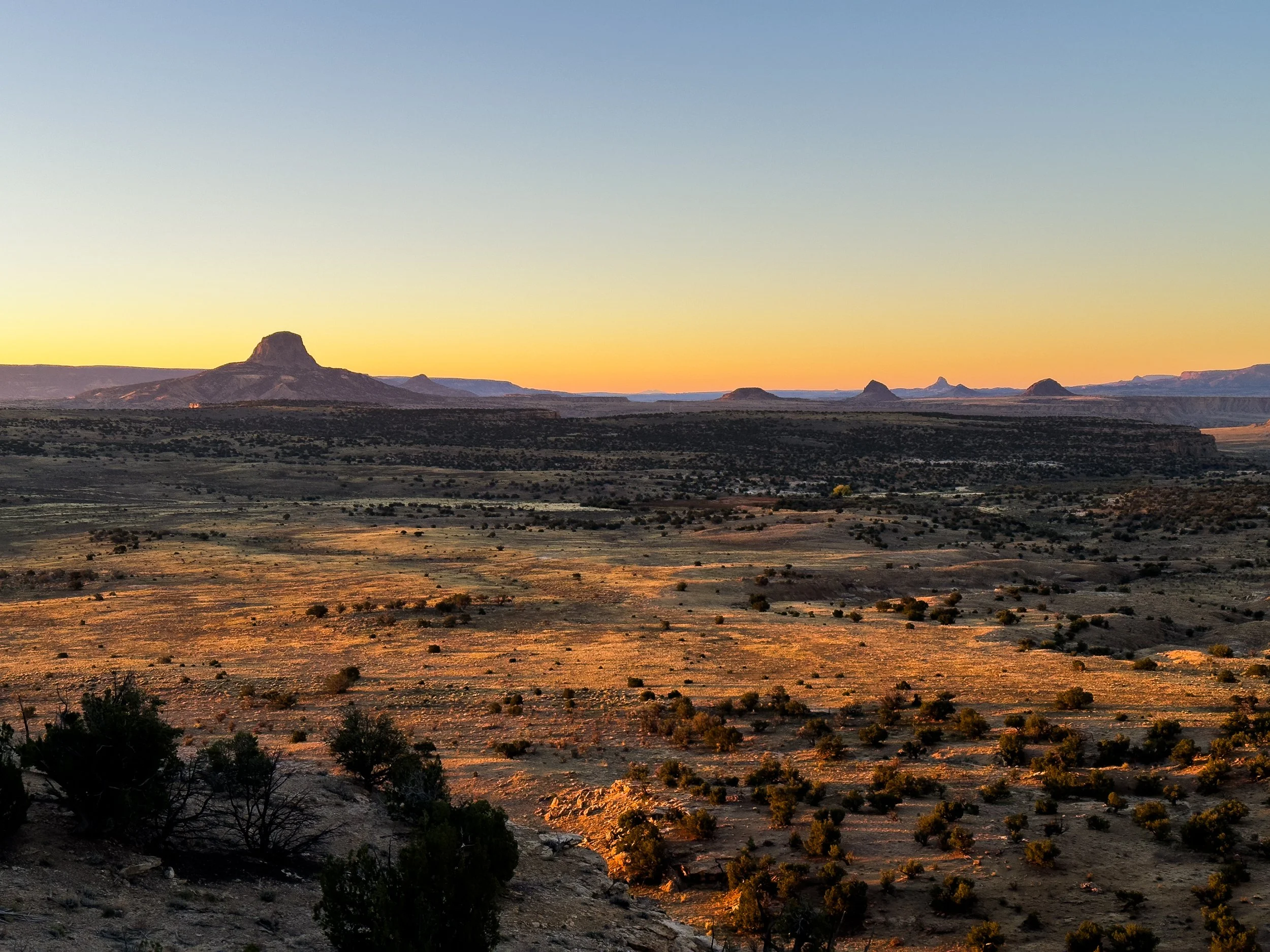
One of the strangest landscapes of our journey through central New Mexico surrounded Mount Taylor (Tsoodził in Navajo), a now-dormant, 11,305ft stratovolcano that erupted a few million years ago and created massive, barren, black lava flows that extend for miles and miles around the peak. We took an alternate route to the summit and camped high on the grassy slopes, looking out over the lights of Albuquerque to the east. We caught the dawn from just below the summit. It wasn’t until several days later, when we climbed to a low mesa above the highway that we could look back north and see the full extent of the lava fields flowing across the entire valley below.
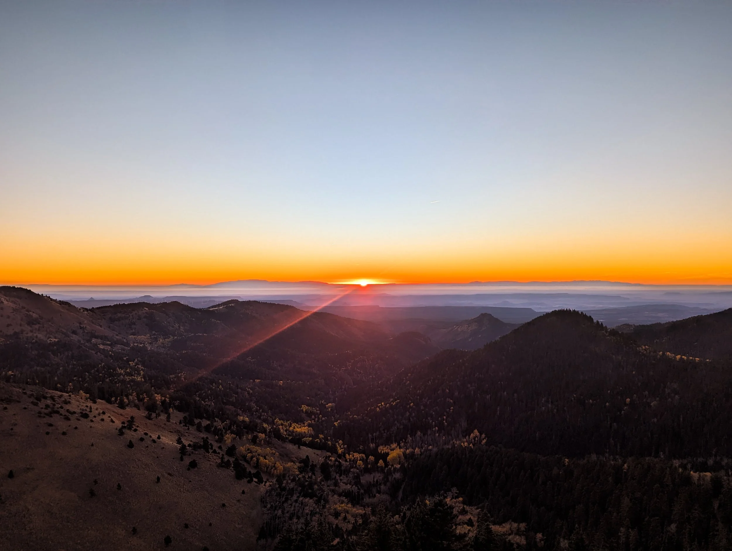
Dawn from the trail near the summit of Mount Taylor

Looking back toward Mount Taylor, the lava fields of El Malpais National Monument expand into the distance.
By the time we reached Pie Town, our feet were aching from the pavement. The paradox of all that road walking, of course, is that we received more trail magic through this section than anywhere else on the trail. A hiker who’d finished his trip restocked water caches and left sodas stashed along the highways. A construction worker pulled over and reached out of his window to hand us each a 7-Up. Still, we were ready for a long stretch of wilderness and a break from the desert.