A State of Saturation
Leaving Pagosa Springs, our forecast was once again looking a bit grim. The remnants of a West Coast typhoon were blowing across the country, and the area was expecting large amounts of rainfall in a few days’ time. Pagosa Springs and other nearby towns were preparing for widespread flooding. Some forecasts warned that there could be mudslides or flash floods near the trail. We predicted that, if the forecasts were correct, we'd be climbing over 12k feet right as the storm blew in. We were still feeling a little bit raw after the snowstorm in the Weminuche Wilderness so we decided to take a lower route that was similar in mileage, but would get us lower, faster.
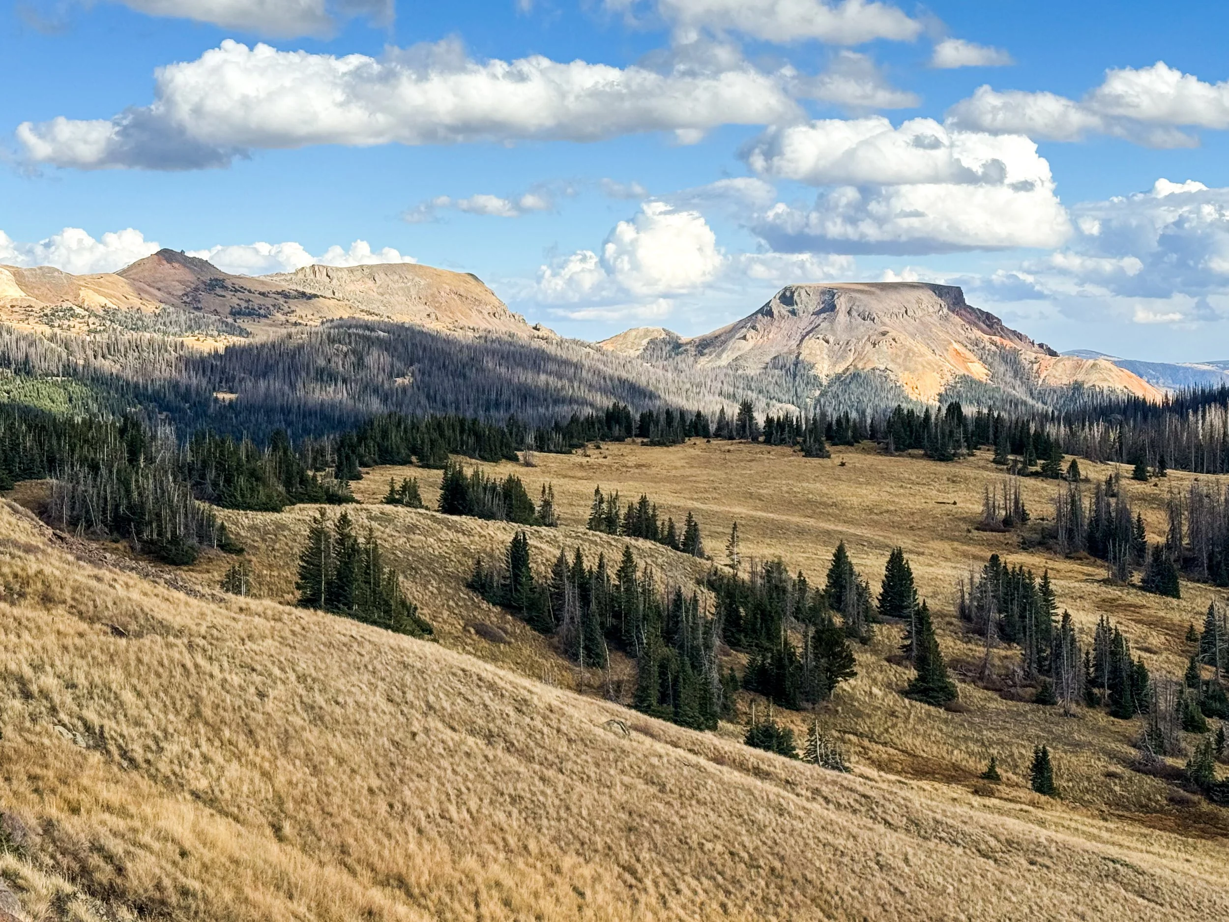
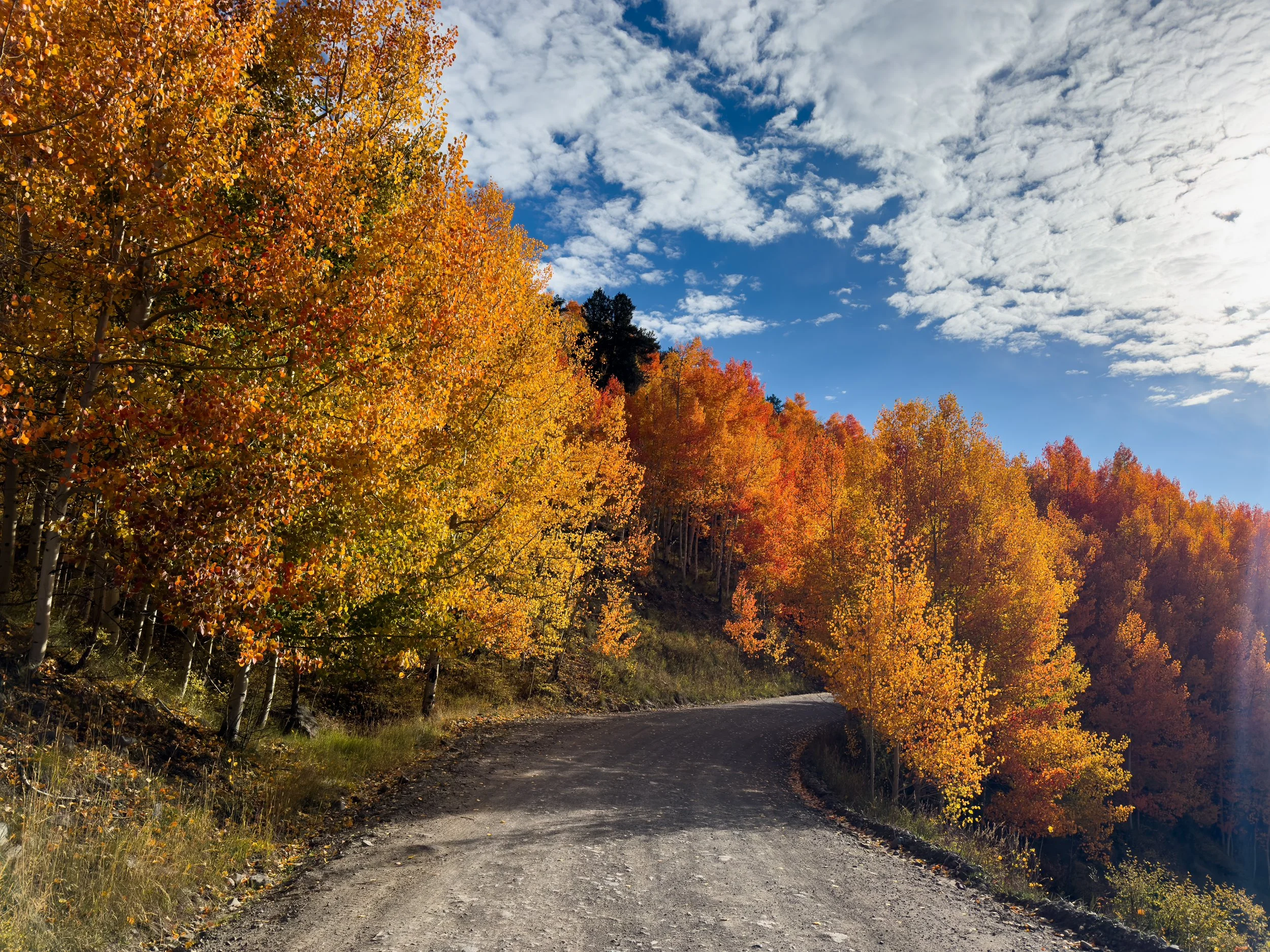
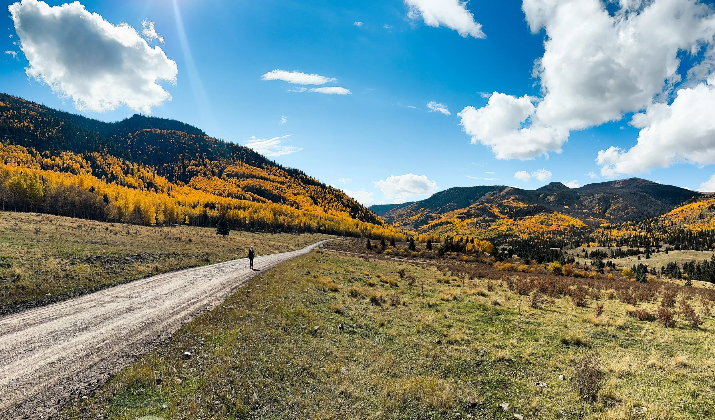
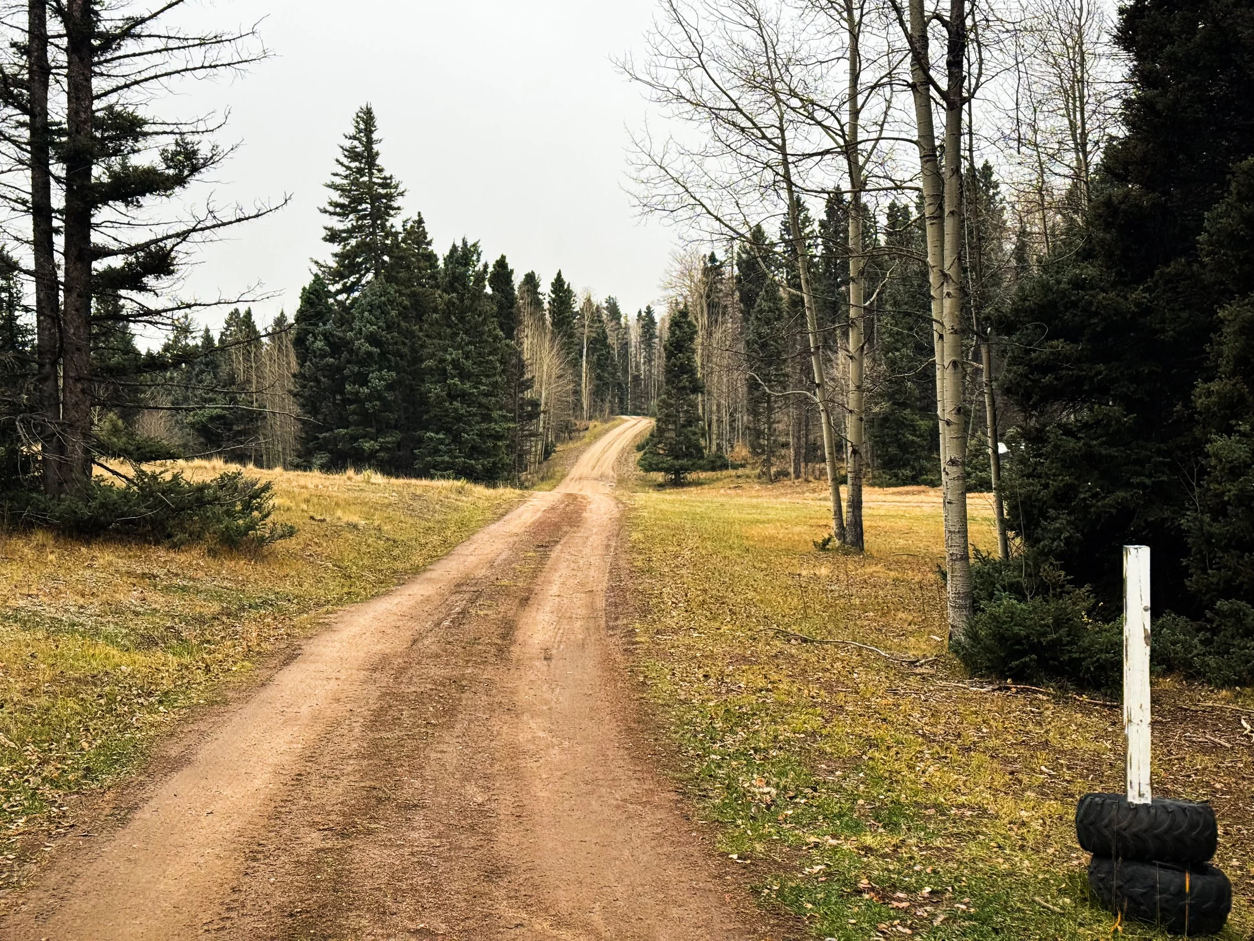
The first day out of Pagosa was breezy and cool, but the sun shone for most of the day as we hiked through the Wolf Creek Pass ski area. Then the low route took us down gentle dirt roads through an old mining town called Platoro that's now just a seasonal vacation spot. Nearly everyone had left for the season. There was a slim column of smoke coming from one small house, but the shops were all boarded up for winter. We hiked 32 miles down the road, strolling along, listening to podcasts, and enjoying the sunshine. It stormed and hailed in the afternoon, but only briefly. It was, perhaps, our first hint that we'd made the right decision in taking the low route.
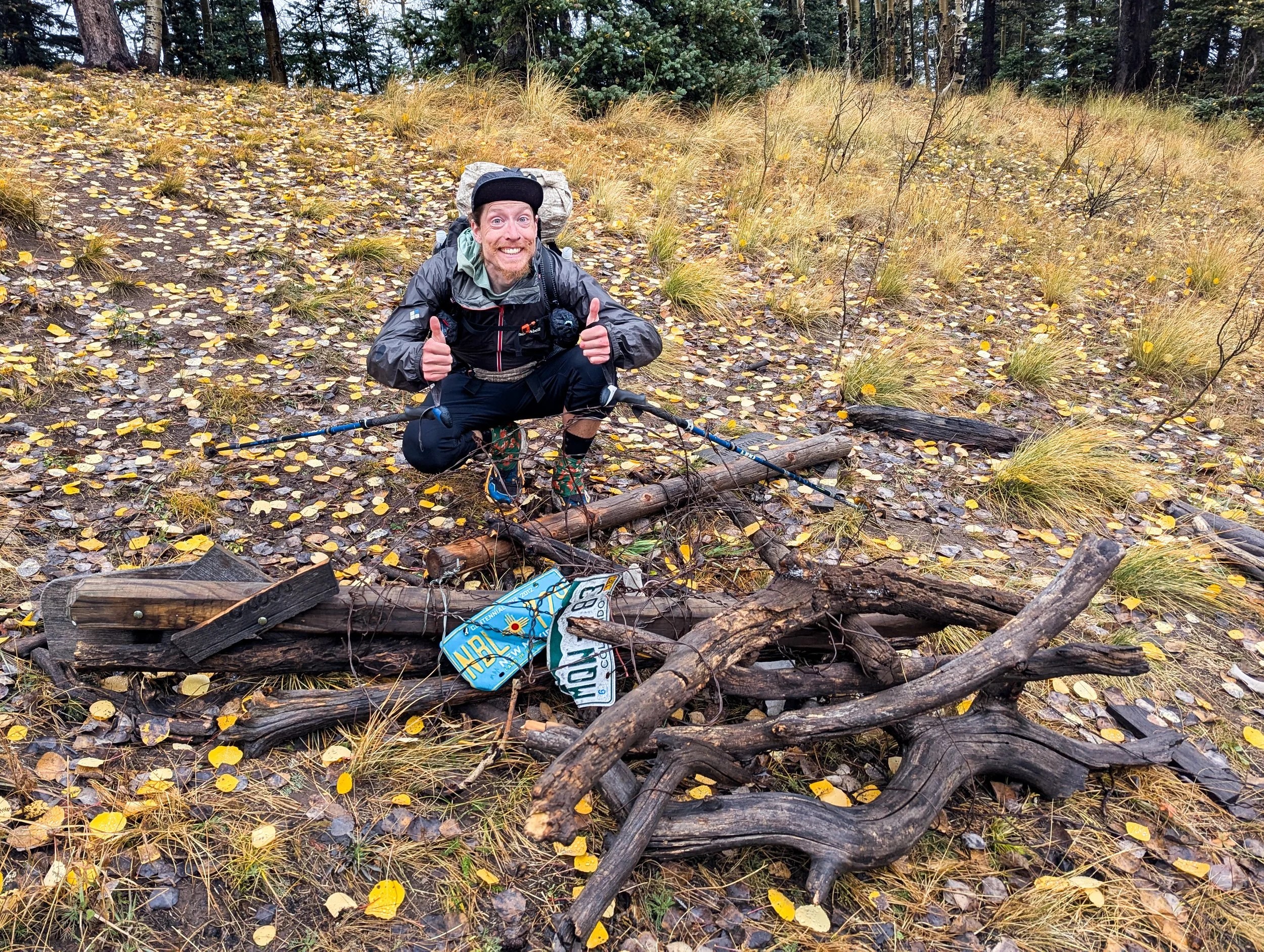
Jonathan cheesin’ at the border between New Mexico and Colorado, which is marked by this elegant monument.
That evening, we camped a quarter mile from the highway to Chama. We met a guy traveling cross-country in a van who played some tunes for us on his guitar as we ate dinner and offered us a ride into town. We explained the arcane rules of our personal game (trying to connect footsteps from Canada to Mexico) and politely declined. Instead, we walked the highway: 13 miles on pavement to get back to the trailhead. (Don't worry. We vetted our friend in the van before divulging our plans: noting a Frank Zappa quote and a tie-dye sticker with the slogan, “Make America Grateful Again”, we determined he was likely harmless.)
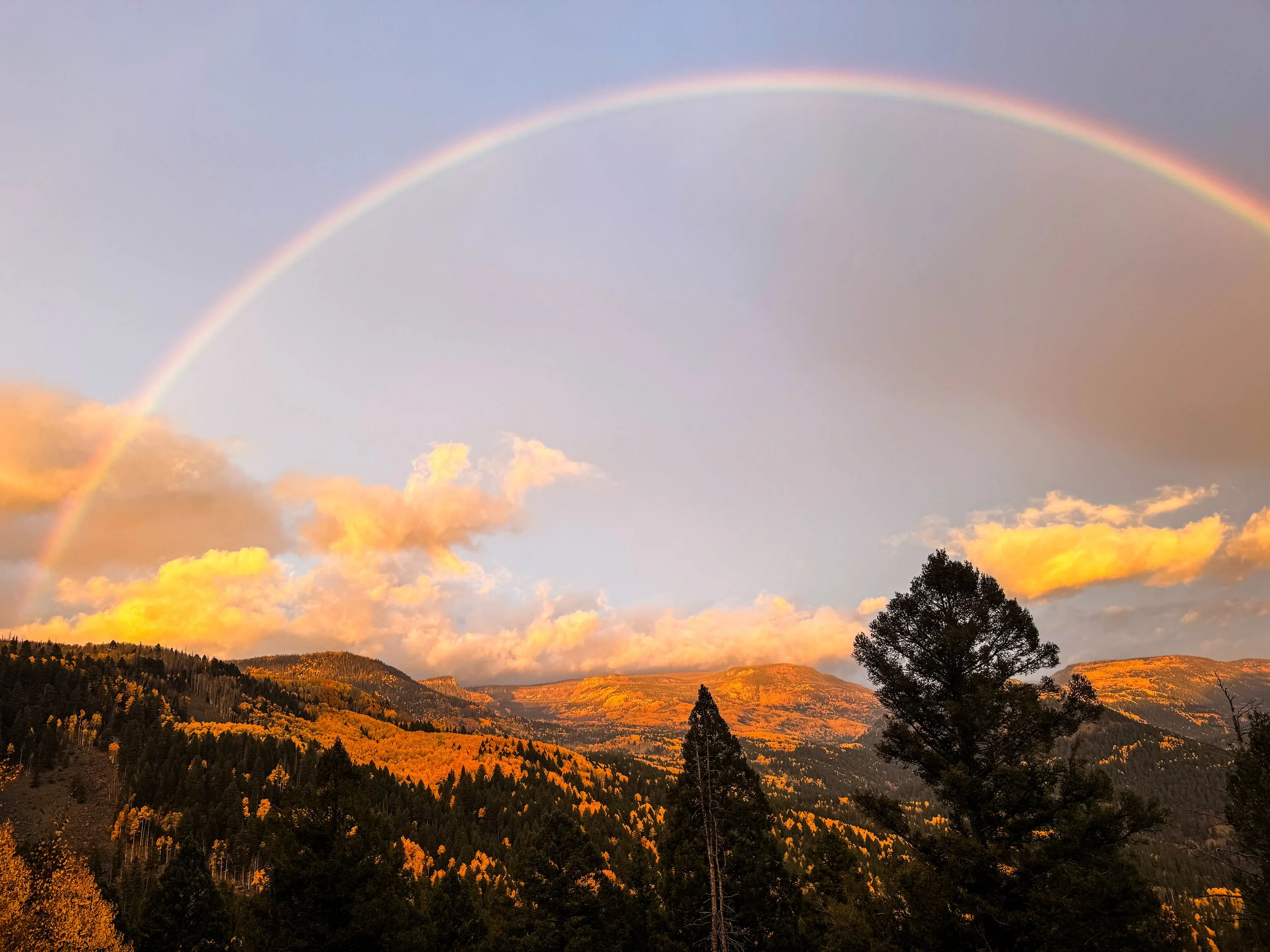
A rainbow at dawn as we walked the highway toward Cumbres Pass, where we rejoined the official CDT
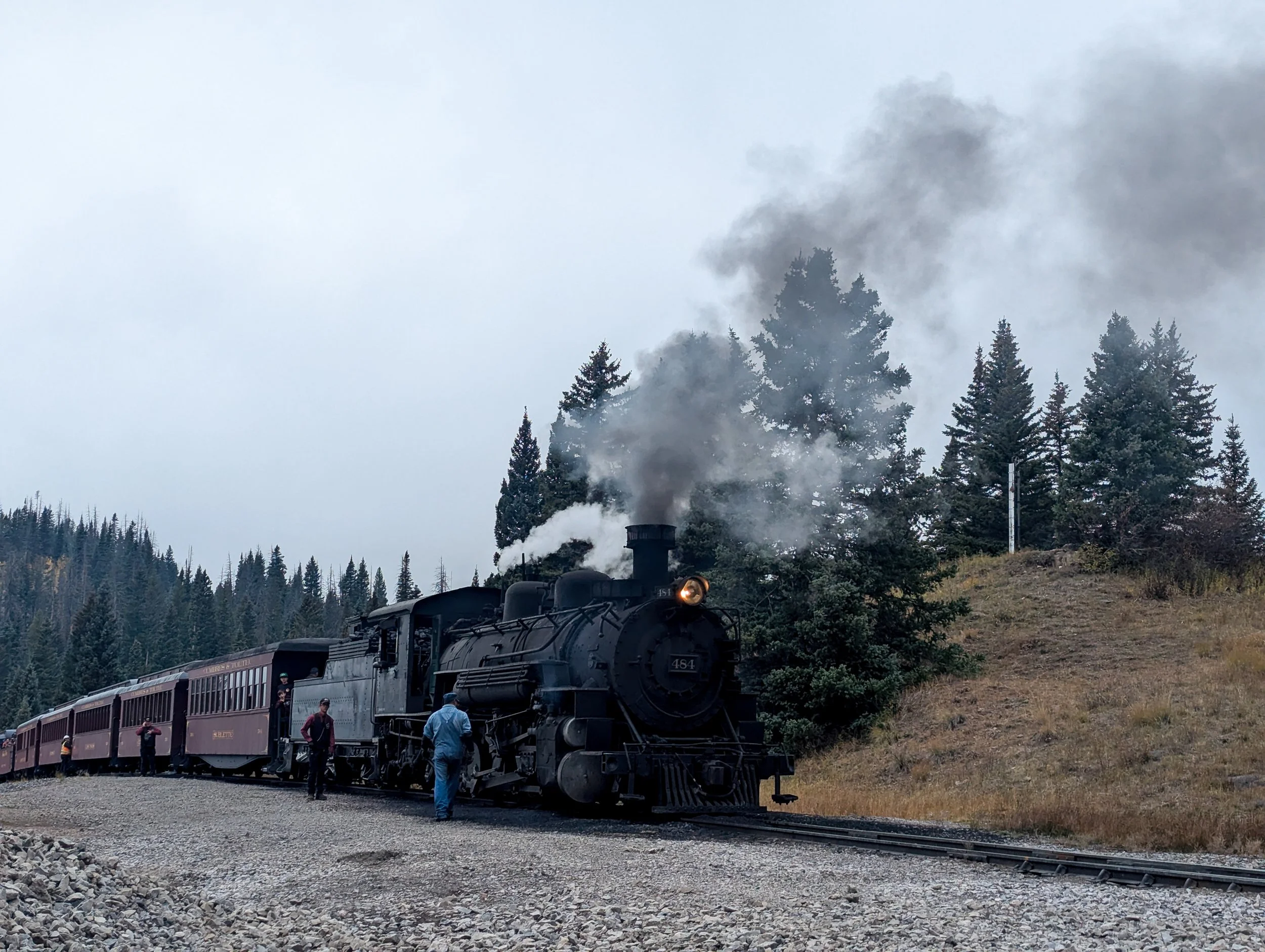
At Cumbres Pass, we were lucky enough to catch sight of the steam engine that travels between Chama, NM and Antonito, CO. The railroad was built in 1880.
In Chama, we were safely out of the (really) high country, only three trail miles from the New Mexico border. We'd planned to hike out the same evening to get as far south as possible before the storm struck, but as we stuck out our thumbs, thunder crashed around us and it began to rain in earnest. Panty Pirate walked out from the hotel where he and Steamy were staying for the night and offered to split the room with us. We readily agreed. A warm, dry place to sleep and some great company did, indeed, sound superior to yet another cold, wet night.
In spite of the storm, we caught a ride back to trail just after first light the following morning. It was lightly raining as we left the trailhead, but the weather was merciful as we crossed the border into New Mexico; our last state on the CDT!
Just after the border, the light rain turned into a deluge once again. We walked for five more miles as the trail turned into a river and the temperature began to drop. Our shoes were soaked and our hands were stiff with cold when we decided to call it and make camp until the rain stopped. We looked for a high point to set up the tent, finding a protected spot in the trees on a rise above the trail where we'd be safe from mudslides and flash floods. We set up the tent and cozied into our sleeping bags, peeling off our wet clothes and trying our best to get warm.
We sat in the tent for the rest of the day as it rained and rained and rained. For hours, it pounded on the tent. We listened to an audiobook, ate snacks, and snoozed. Evening came; we never left the tent. All night, it rained off and on. It was still drizzling and gray when we woke up.
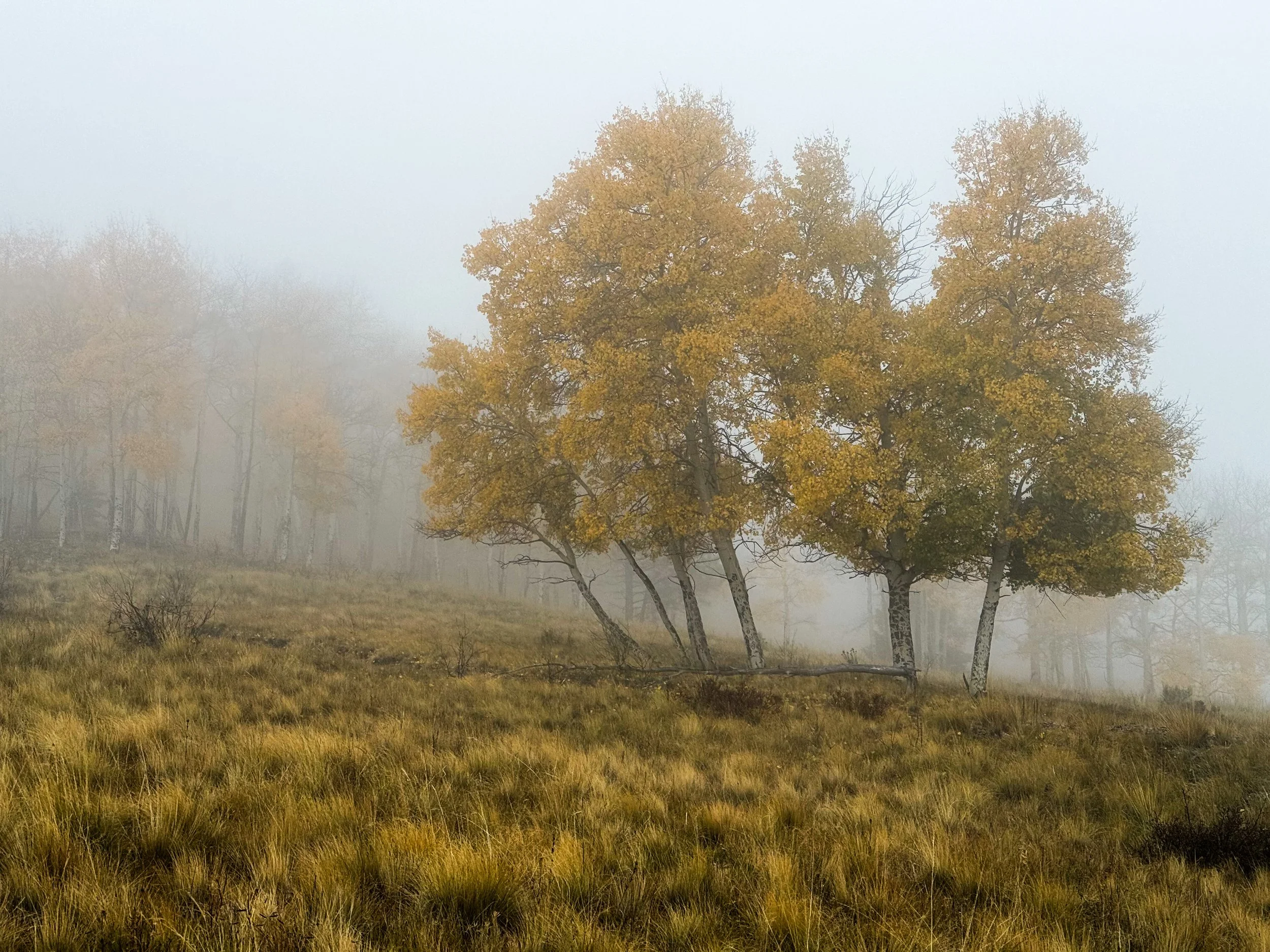
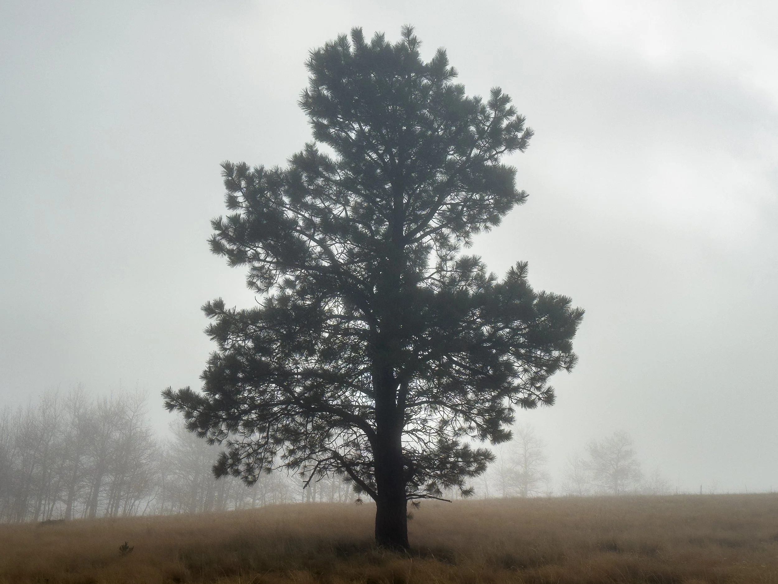
It continued to rain off and on over the next couple of days, but off-and-on rain is infinitely easier to manage on the trail. When the sun appears, we can dry out the wet tent. Our jackets dry between outbursts, and our shoes and socks remain only damp (rather than us hydroplaning around in there). Mostly, we walked through a thick, eerie mist.
Days later, we learned that Pagosa Springs had experienced devastating floods as we had been sitting in our tent. While the hiking that day was unpleasant, to say the least, we felt proud of the decision-making that put us in a safe place during the storm. Days of planning, hiking some long days, and choosing a well-placed tent site where water couldn't pool or flood; all of these things put us in a cozy, dry tent rather than on a mountain top (or in a flooded motel room).
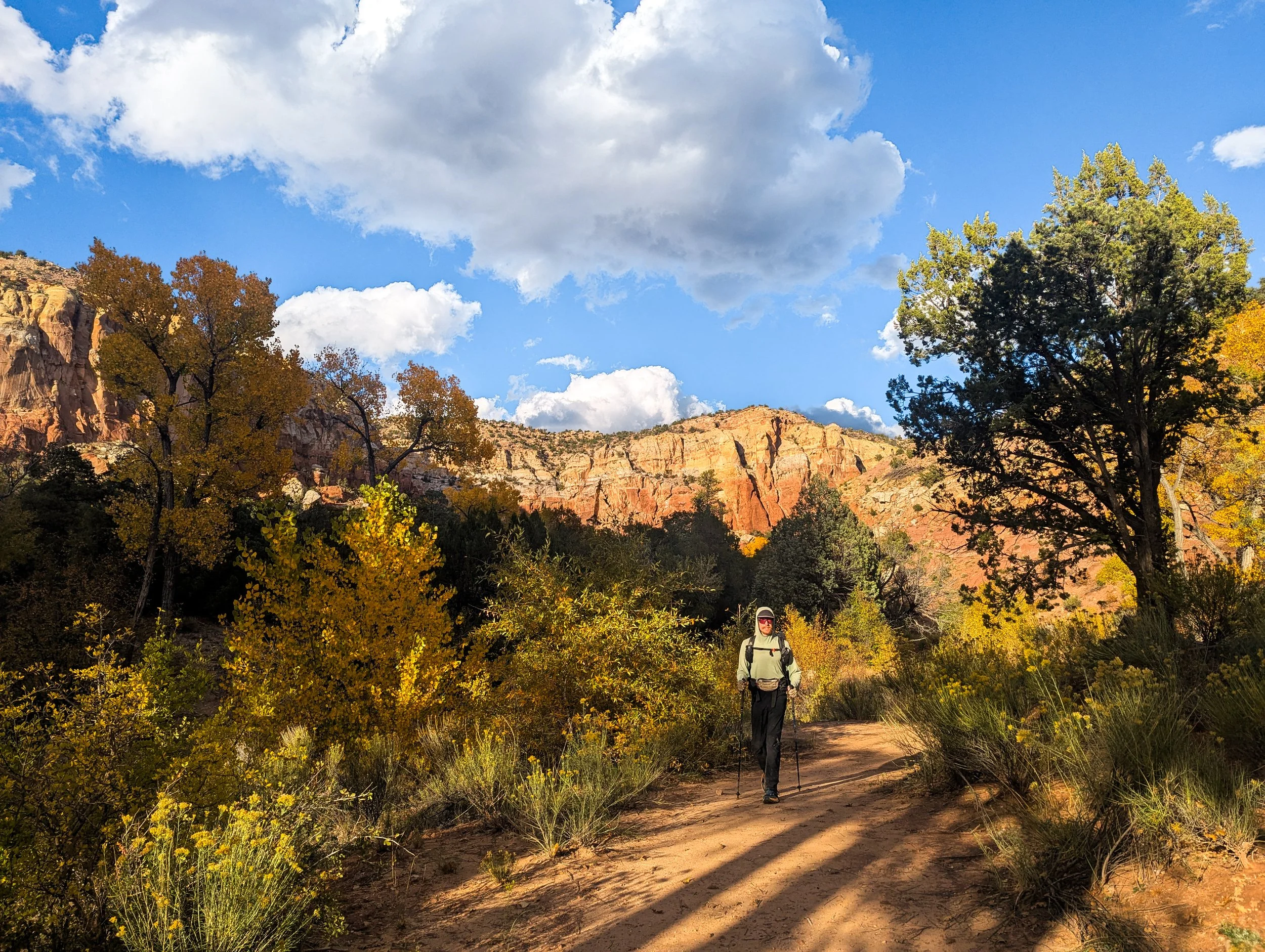
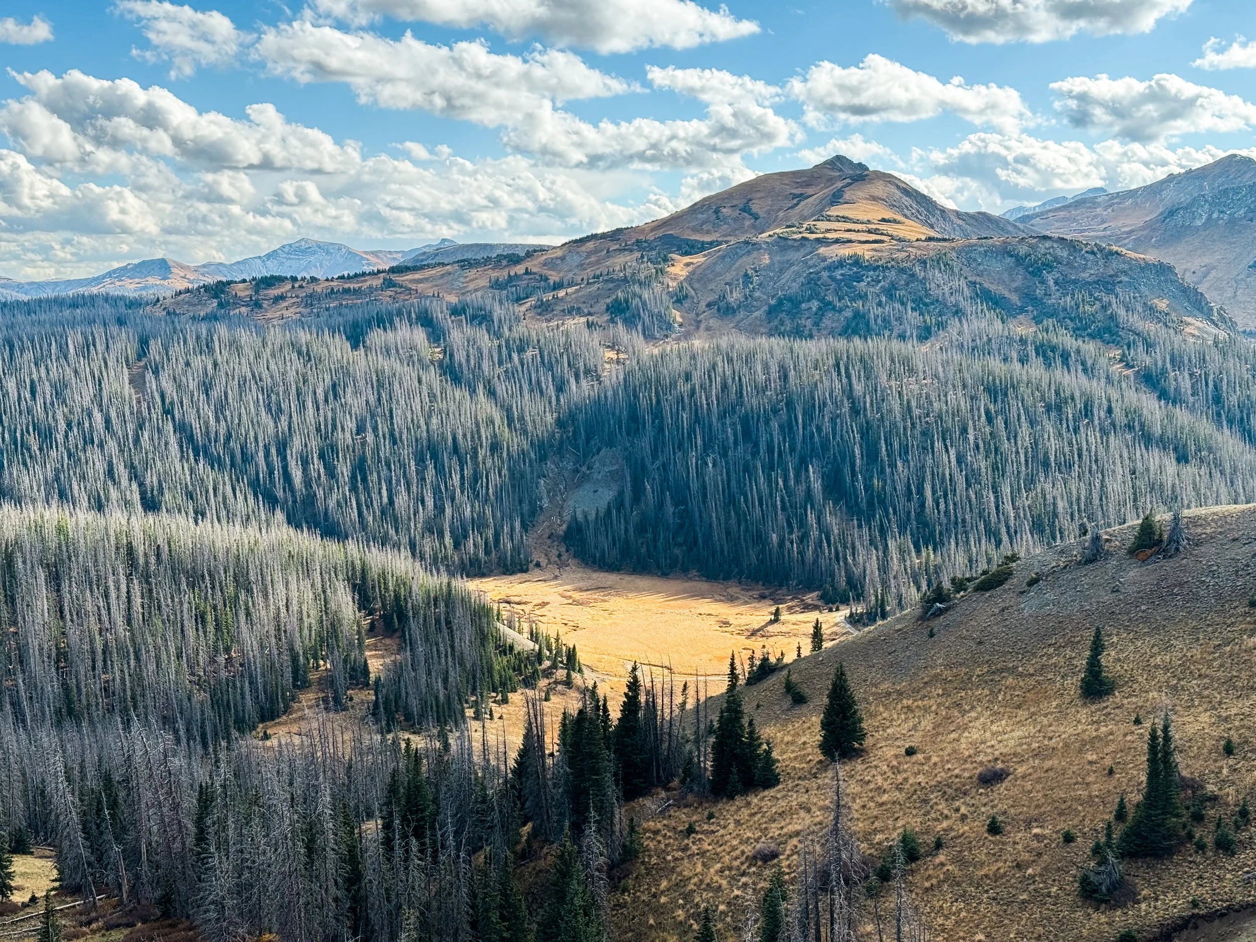
Hiking through Colorado in September had been a test of our ability to manage chaotic weather. We felt we'd passed the test, but we had walked south into New Mexico hoping to find a drier, more stable climate. This dripping wet pine forest was not exactly what we had expected to find. Aren't we supposed to be in the desert?! The only thing that seemed vaguely desert-like was the sandy soil, which the rain turned into a thick sludgy paste that stuck to our shoes and wouldn't let go.
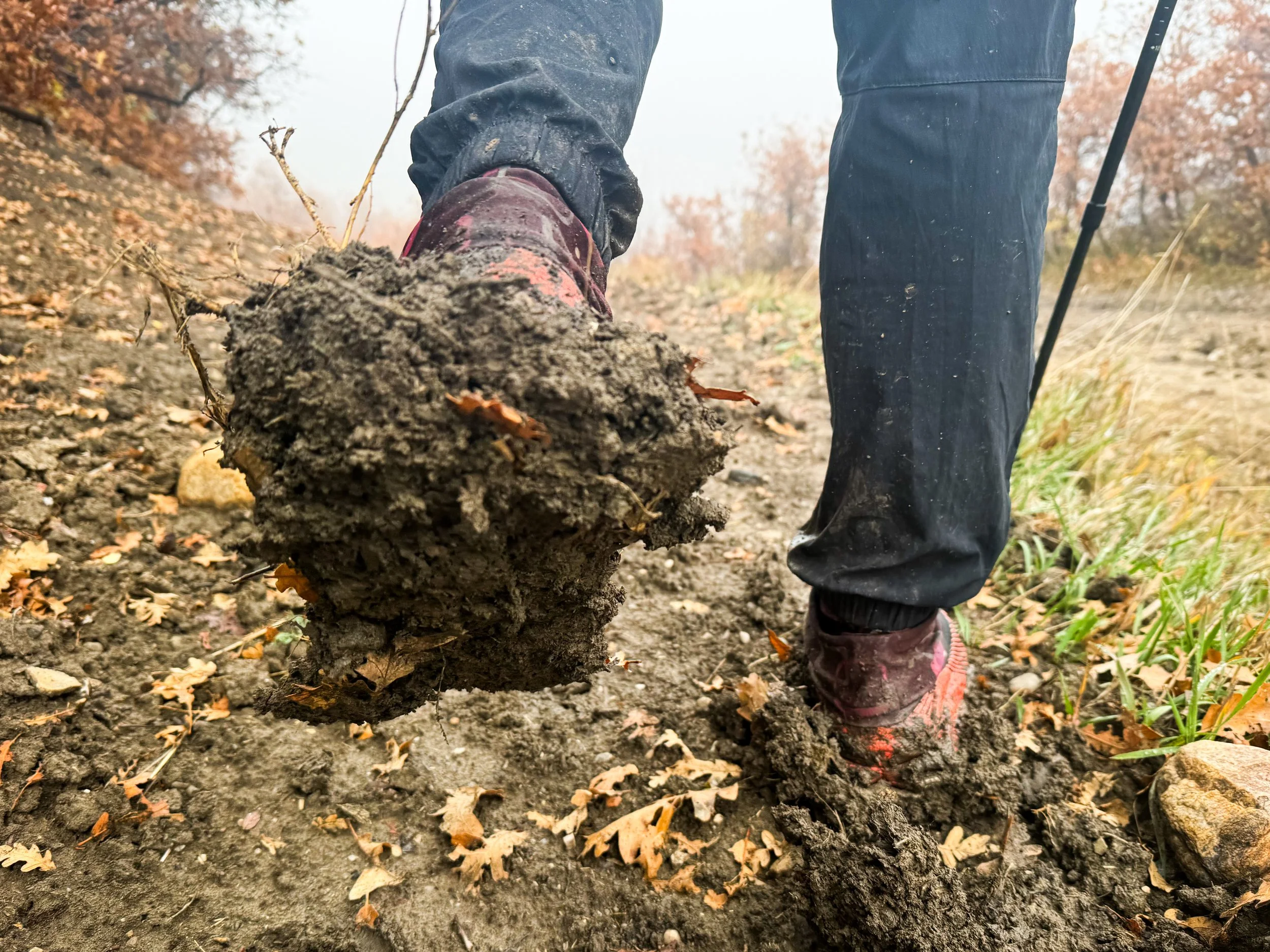
Mud coats Molly's shoes, adding weight to every step and rendering the traction worthless.
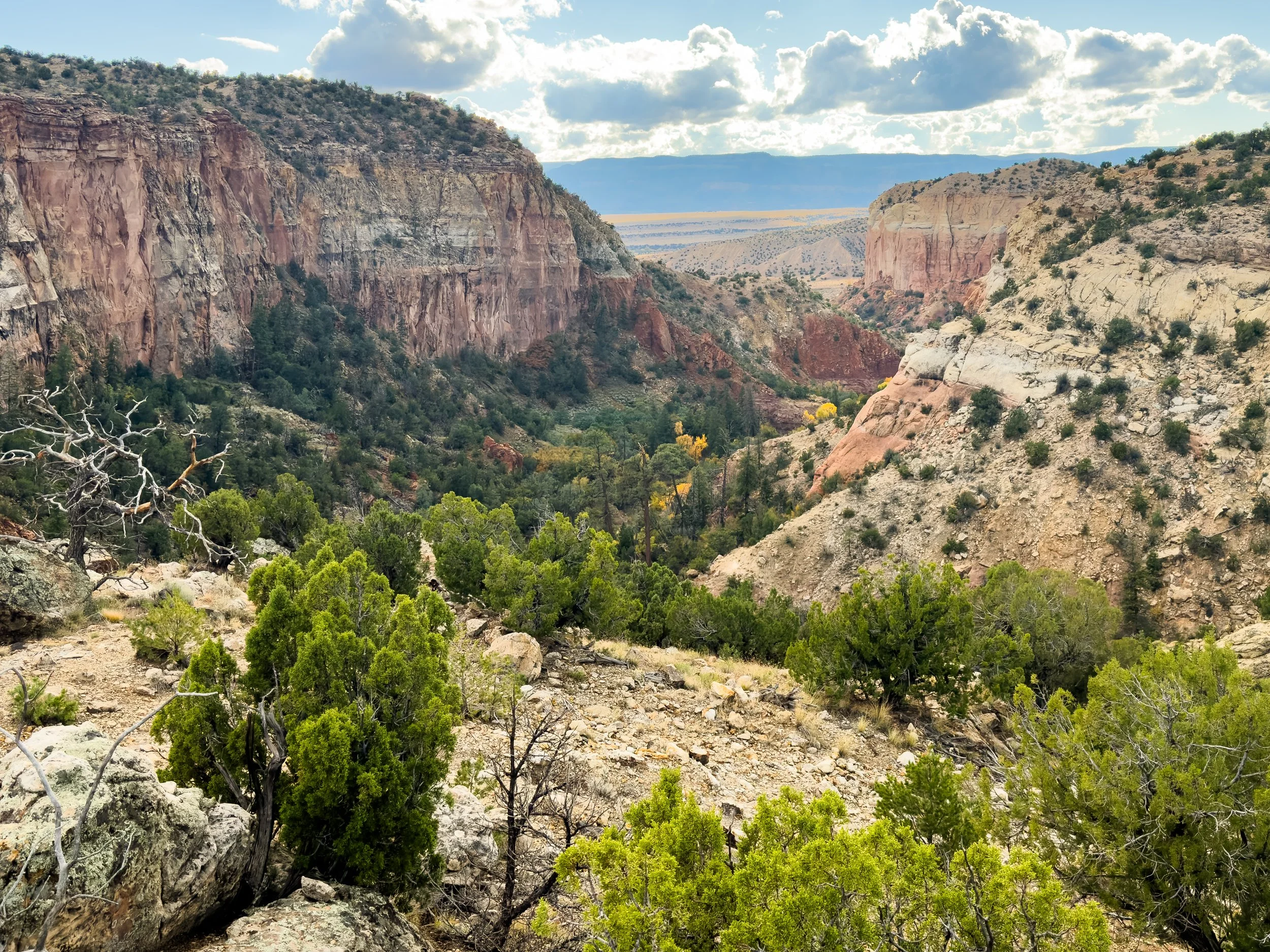
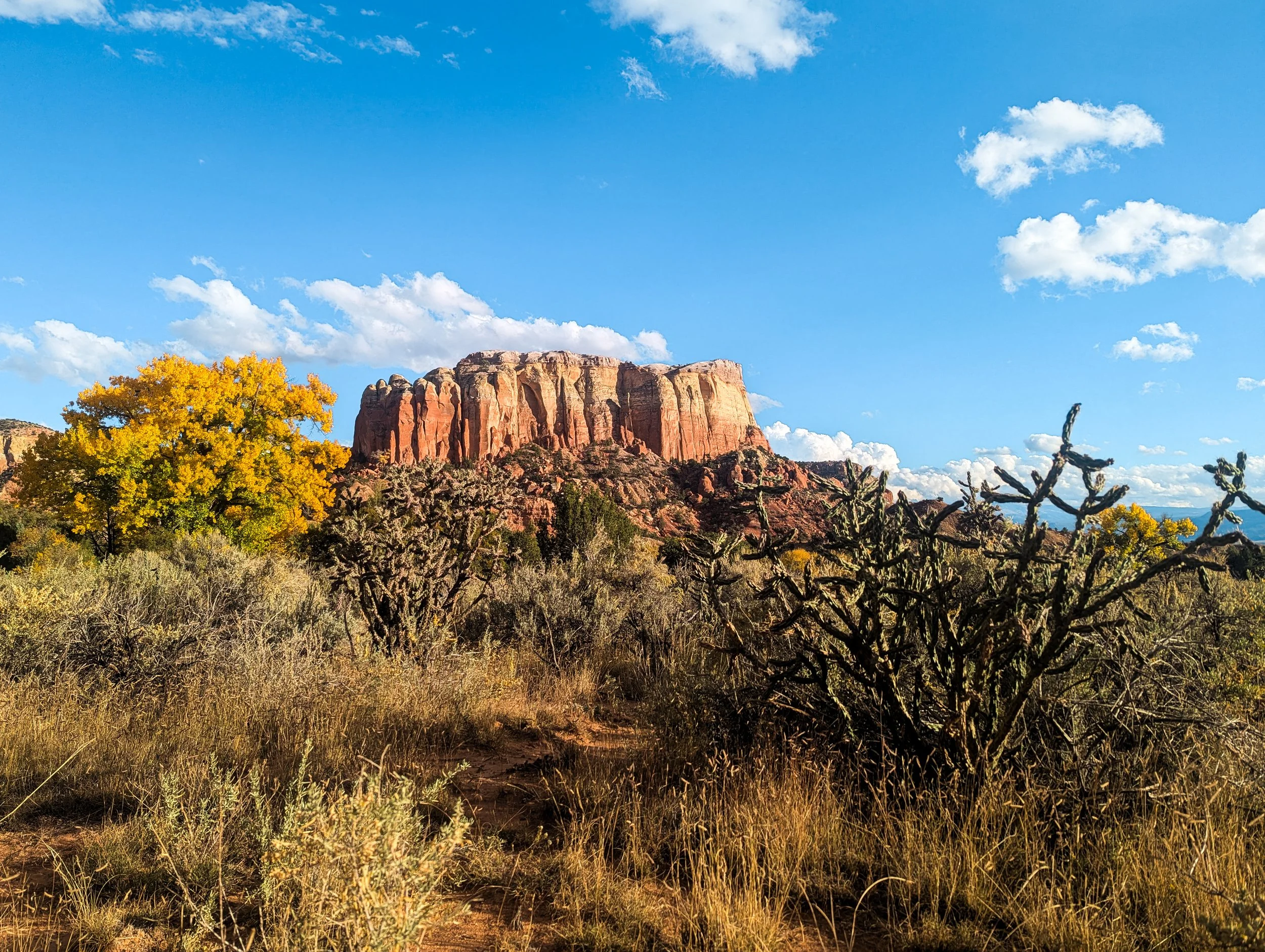
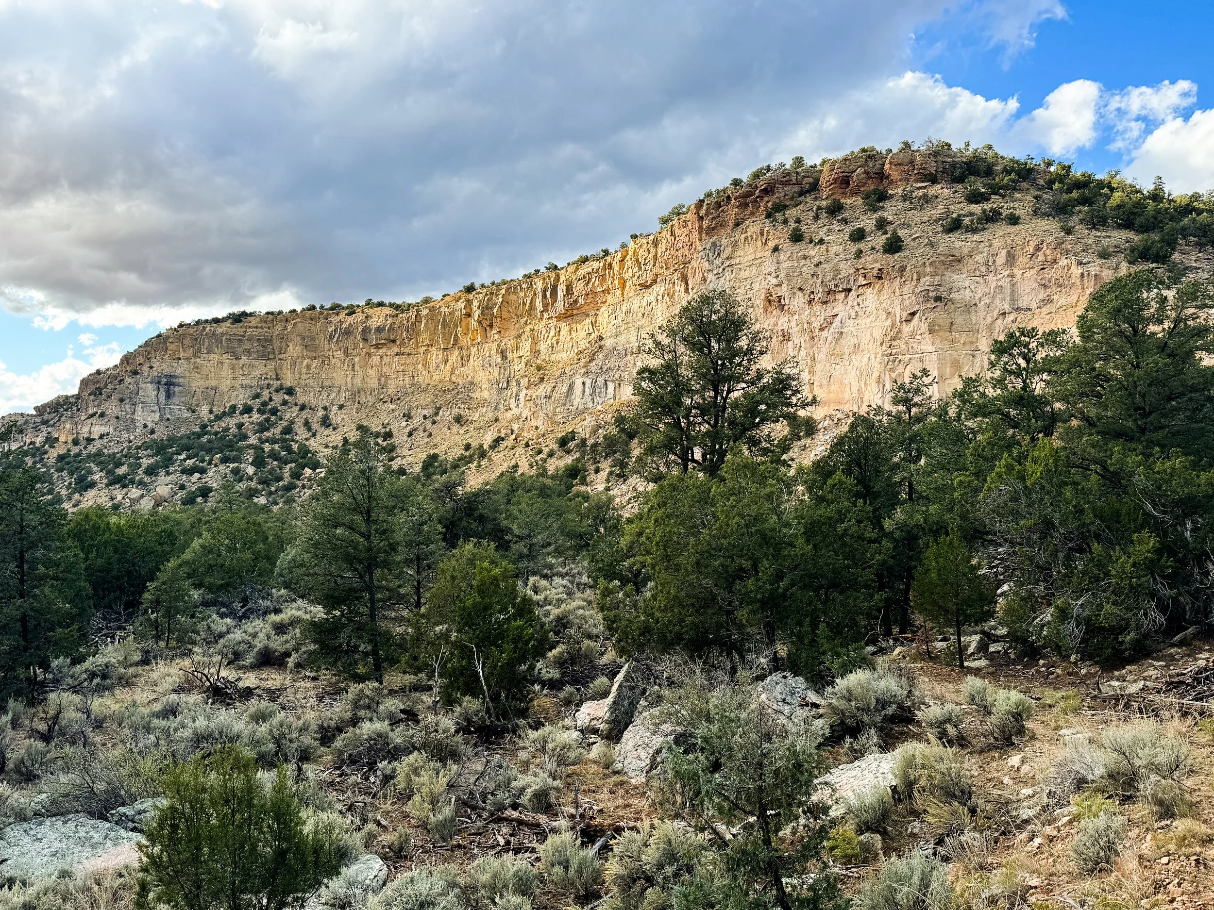
Around five miles from Ghost Ranch (some 90 miles south of the border), we turned a corner and seemingly walked into a completely different biome. Suddenly, there were cacti everywhere, sandy red cliffs overhead, and the biggest trees were scrubby, ten-foot-tall junipers. A mile further, and we were in a huge box canyon with softly curving walls carved by water and time. A tarantula casually strolled down the middle of the trail (yes, this is the moment where Molly had regrets about going camping in the desert). We followed a dry creekbed down a thousand feet into the canyon, arriving just in time for dinner with some very special guests.
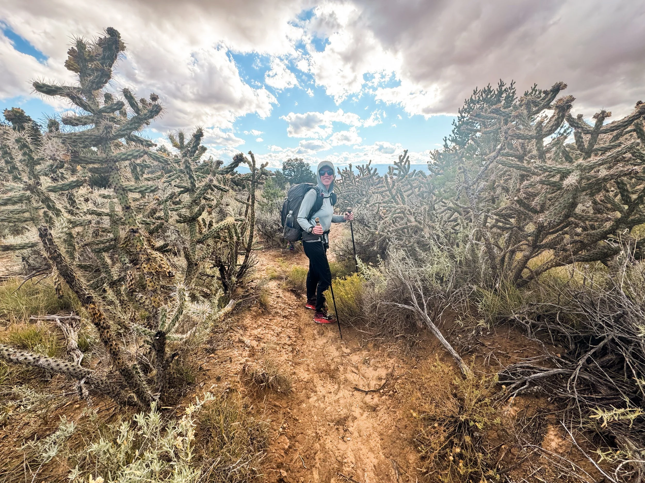
Molly is dwarfed by a field of huge cholla cacti.