
A Matter of Timing
To get from the Tetons to the Wind River range (and back to the official CDT), we walked straight through the town of Jackson, WY and up into the Gros Ventre Wilderness. We knew next to nothing about the Gros Ventre, but the prospect of new mountains helped lift our spirits a little as we walked out of town, still slow and heavy from our "adventures" with COVID. We were starting to feel like we might be on the upswing: a little less pressure in our sinuses, a little less foggy-brained. We made it just past the wilderness boundary on that first night and saw no one else on the trail.
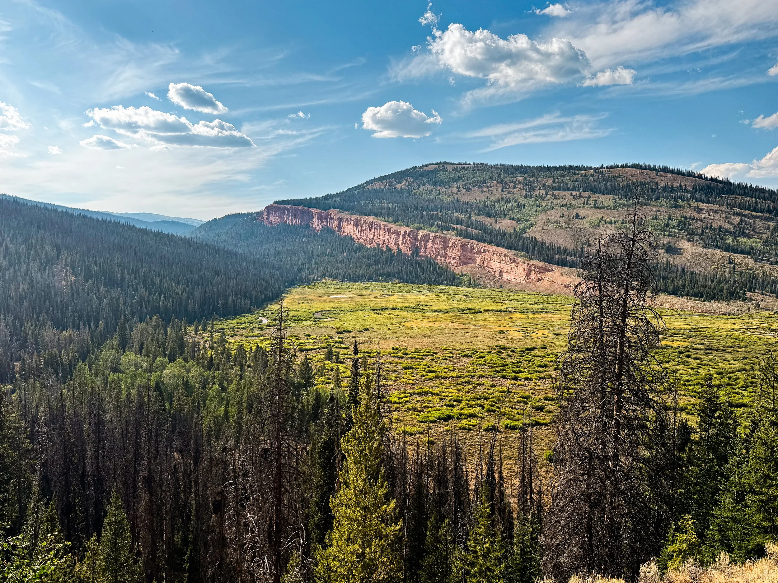
Over the next two days, we climbed up and over two huge passes. Each day we left one barely-used trail to traverse across alpine tundra with no path or trail markers, then descended down a wide, craggy valley to find a faint footpath along a new river. The Gros Ventre surprised us again and again. We watched water tumble hundreds of feet down near-vertical rock walls that looked like something out of Lord of the Rings. We stopped to snack by a pristine mountain lake full of shiny silver fish, and hiked below brick-red cliffs jutting out over evergreen forest. We saw barely anyone and not a single other thruhiker.
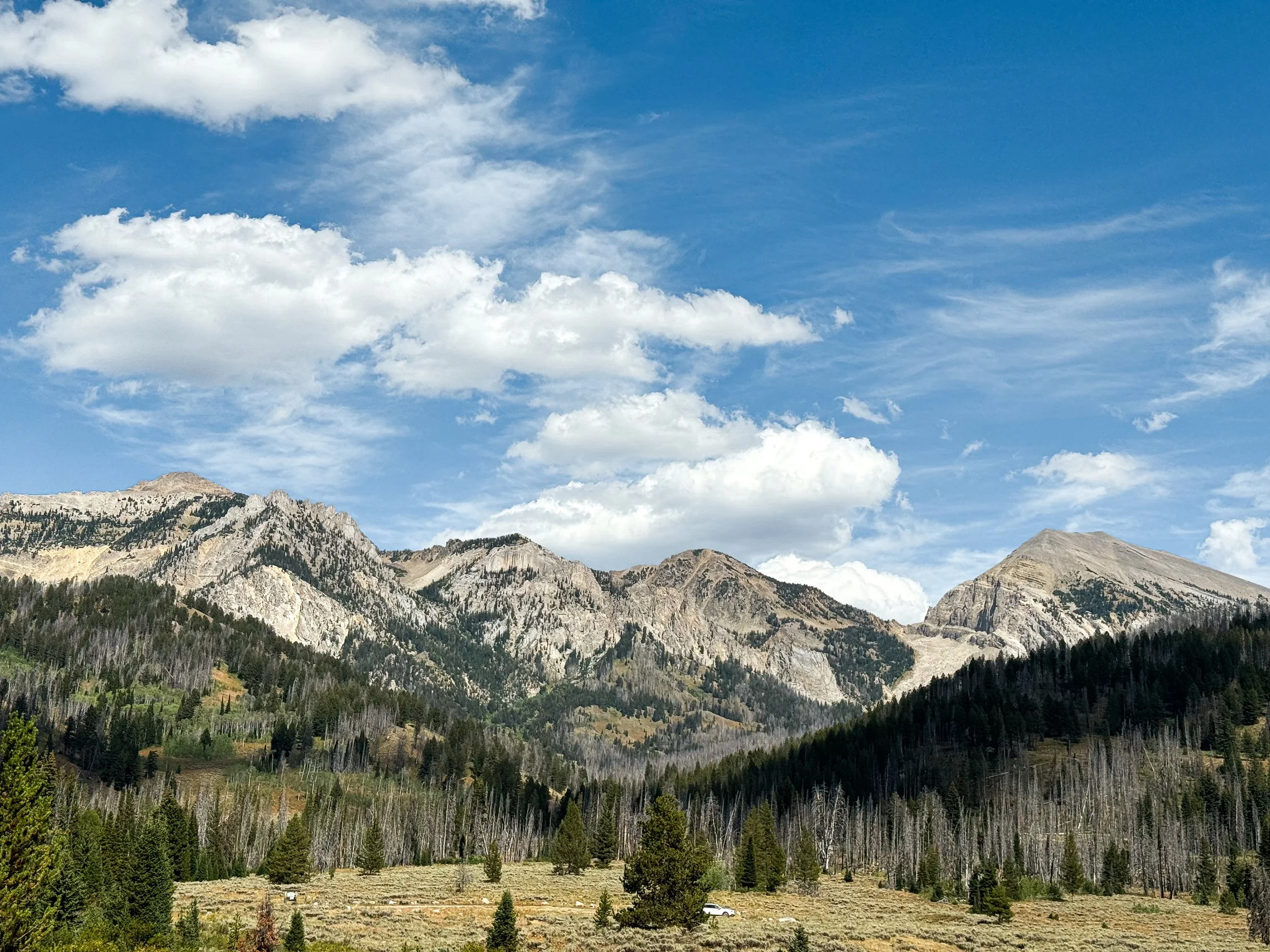
Dang, Gros Ventre! You pretty 😍

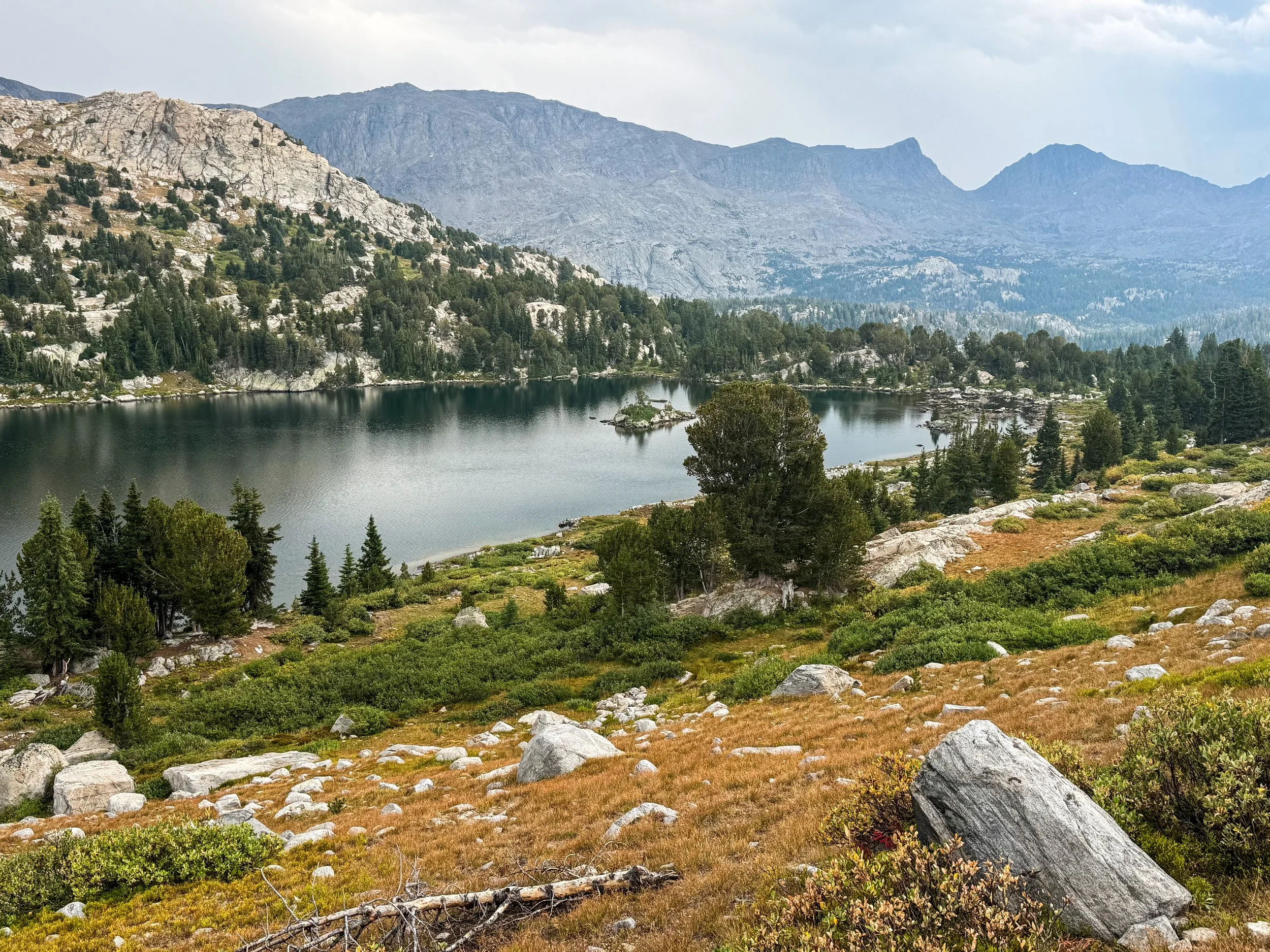
We don’t always get to see the pass that we’ll climb so clearly ahead of us, but in this case, we could see exactly where we were heading.
Shoal Lake sits just below the pass seen in the photo above. The trail is visible around the left side at the foot of the lake.
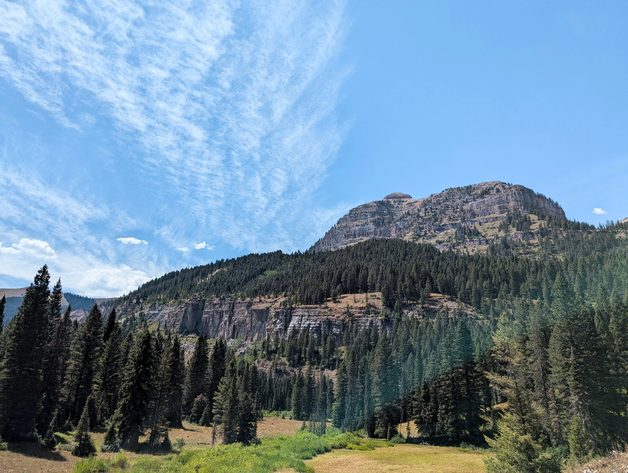
The last day was especially, almost eerily quiet. We ducked through thick willows below the pass to find a trail down the Gros Ventre River. We crossed the river for the last time at the base of the valley and hadn't seen another human for almost 36 hours by the time we reached a gravel forest service road. We'd hiked 26 miles already that day and it was nearing dinnertime. We had been looking forward to the Winds for over a thousand miles, and we were about to get our first up-close look at the range.
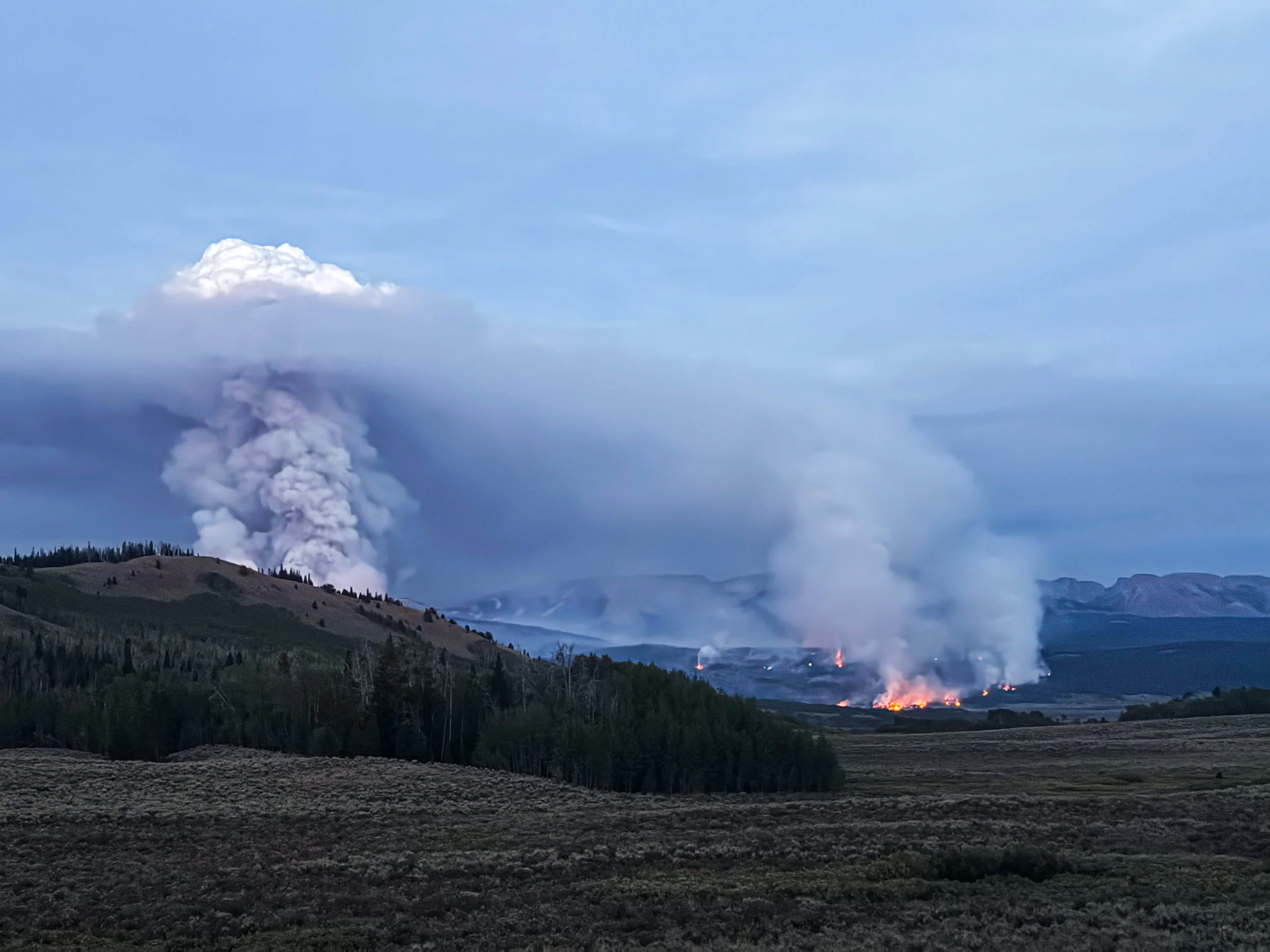
At the exact moment that we got our first glimpse of the Winds, we also saw the smoke. A wildfire and a massive one by the look of the plume, which rose hundreds of feet up into dark, roiling clouds. We could see the glow of flames under a second, smaller plume farther down the valley, but the largest plume rose just beyond the nearest ridge. It stopped us dead in our tracks.

Our first view of the smoke plumes
We couldn't tell how far away we were from the fire, but we knew it wasn't far enough. From that angle, it also wasn't clear whether the fire was blocking our trail and we didn't have enough service to get more information. The trail at that point follows the only road out of the valley, leaving us with some less-than-optimal options for moving forward. It was around 6:30pm, so we had just over an hour before it would start to get dark. There were 12 miles left to the road where we could get into town; back the way we came, it was over 20 miles to the nearest road. We stopped to discuss our next move.
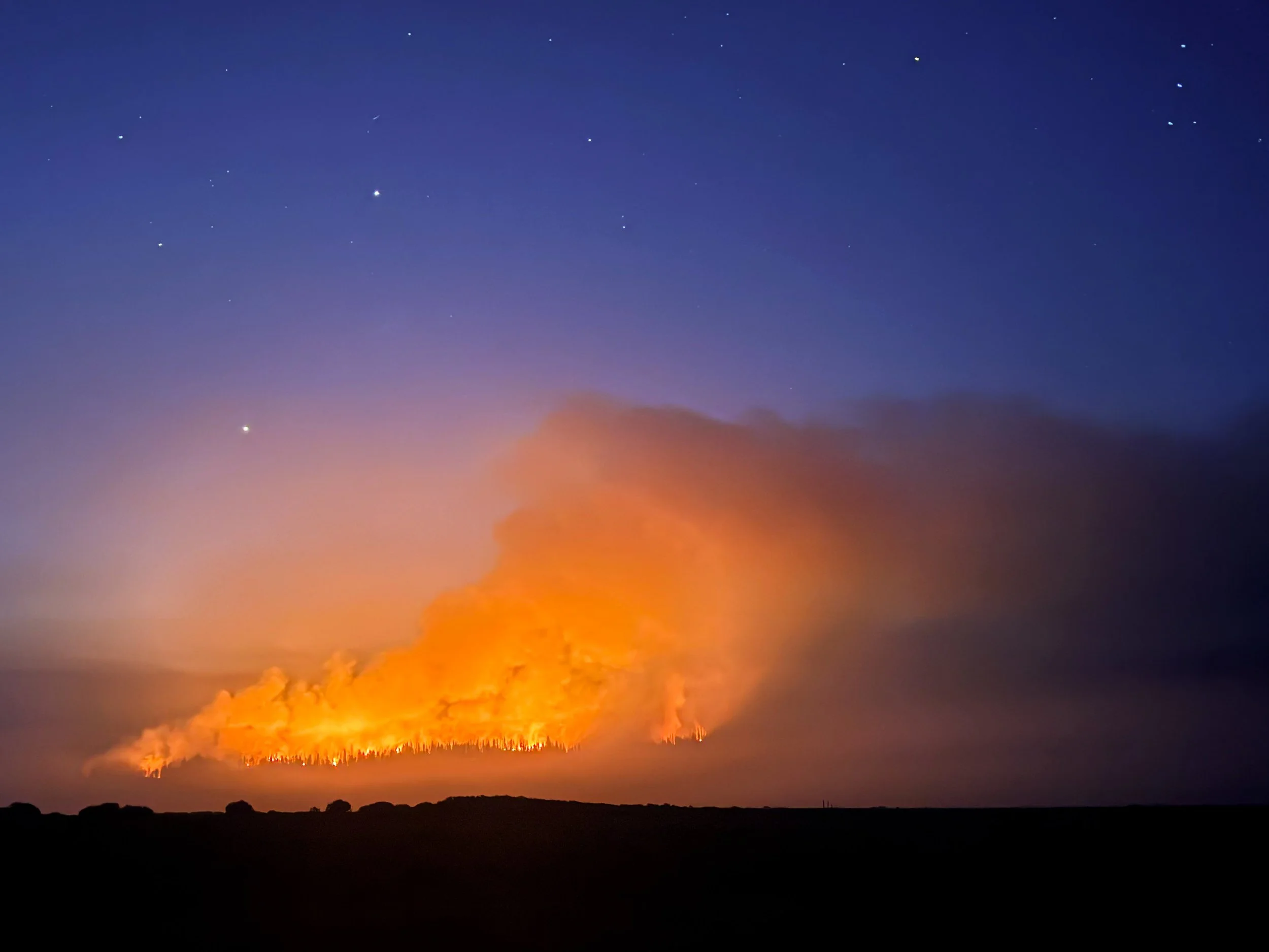
As night sets in, the smoke plumes loom larger and the glow of the flames grows more intense.
We decided to hike on, tired as we were, and try to reach service to get more information about the fire and maybe to reach the road out before the fire closed it entirely. We stopped to put on warm clothes and headlamps, stuffed our pockets full of snacks, and filtered enough water to last us through the night.
The sunset put on a glorious show behind us, but we only paused for a brief moment to look back. Headlamps came on and we kept walking. For six miles, we walked straight toward the fire. That feels — and felt — like an insane choice to make, but we also saw it as our only real option for getting to the road, to information, and ultimately to safety.
Around 10pm and still miles from the road out, Jonathan started feeling queasy and soon was throwing up on the side of the road. Realizing he couldn't continue hiking, we made the call to set up the tent so that he could lay down for a couple of hours. From there, we were so close to the fire that we could see individual pine trees going up in flames. Molly woke up every two hours to check the fire’s progress and at 4am, we packed up the tent and started walking.
By dawn, we'd reached Union Pass road, where firefighters were mustered and just waking up to start the day shift. A massive convoy of fire trucks rattled by us with logos for fire departments across the West. Crews were coming in from Wyoming, Idaho, and Montana, as well as from farther afield: Washington, Oregon, Arizona, and Utah. They told us the fire had started the day prior and was rapidly approaching 10 thousand acres. A kind firefighter from Utah gave us each a cinnamon roll — “Trader Joe's finest,” he said — and it tasted like the finest food on earth. We sat for a while, stunned and exhausted, then started walking toward town and stuck out our thumbs for the first car heading our way.

The convoy of wildland fire crews stretches off into the smoky distance.

As dawn breaks the next morning, the intensity of the smoke and haze becomes even more apparent.
The driver turned out to be the Public Information Officer (PIO) for the whole fire operation. She agreed to drop us off in town and along the way, we asked her a million questions about the fire. She told us that the plume was called a pyrocumulus and that this one was large enough to create its own weather system, causing lightning, thunder, and high winds around it. She dropped us at the Heart & Soul cafe in Pinedale, WY and by the time it was 9am, we were cozily sipping lattes and waiting on a hearty breakfast. Our relief was overwhelming, but the safety and normality of it all felt jarring, surreal, like we had just had a frightening dream and woken up to find all these strangers sitting around drinking coffee, completely unaware of our ordeal.
In Pinedale, we had to face a difficult fact: we couldn't get back to the same point of trail that we'd left. The road was closed, the whole area evacuated, and the fire had burned across a piece of our route. It may seem silly to be dismayed about skipping a few miles of trail after a near-disaster with the fire, but we'd maintained an unbroken line of footsteps for over eleven hundred miles from the Canadian border. Getting back on trail somewhere else would mean breaking that line for the first time. We were mourning our mission even as we began making plans for what was next.
Though we couldn't get back into the Winds via the route we'd originally planned, there was another trailhead further south from which we could climb the 10 miles back up to the trail. We checked a forecast to see what our higher altitude adventures in the Winds would bring. Oof. It looked grim: rain and thunderstorms every day. Yet the alternative — skipping the Winds and heading into the Great Divide Basin — was unthinkable. Skipping the Winds?! The crown jewel of the CDT?! Every hiker’s favorite section?! We'd been looking forward to it for a thousand miles!
We had planned to take more alternate routes into higher, more remote, and more technical terrain. But it was obvious to us that those routes would be unadvisable under our current circumstances (and perhaps also just deeply unpleasant with so much smoke from the fire). So, we took some very deep breaths and made the call to hike the 10 miles in and return to the red line, thunderstorms be damned. Embrace the brutality, right?
We spent the night in Pinedale and reunited with Smokebeard and Dr. Pepper. A couple of good spirited (and rather late season) NOBOs were also hanging around the hostel. We laughed and chatted with the other hikers and it lifted up our hearts a little in a moment where we were struggling to find the joy in our trip.
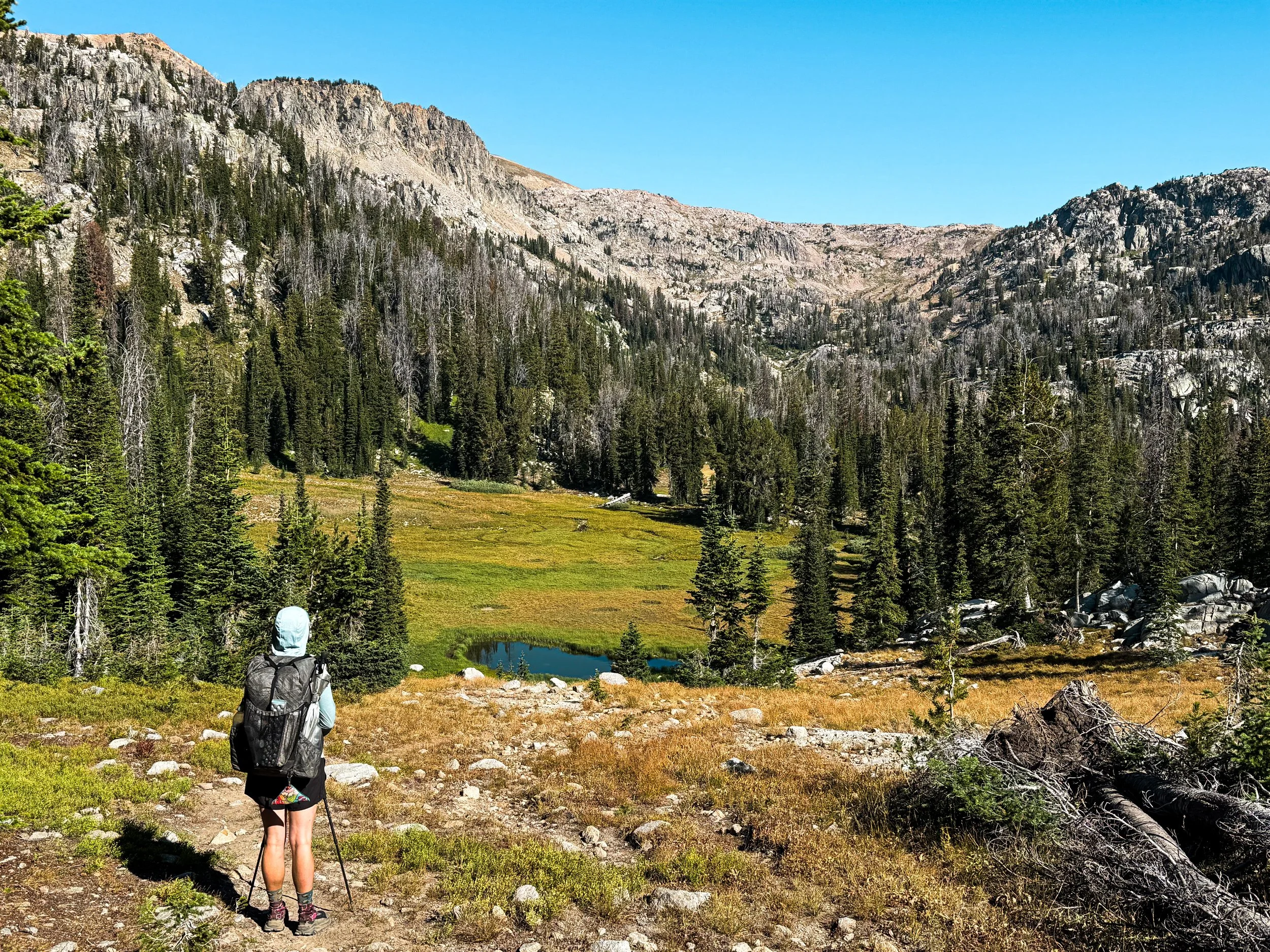
The next morning, we got a ride into the Elkhart trailhead with a trail angel called Irish. It was smoky and sprinkling lightly as we left the trailhead, but we still started smiling as we passed lake after gorgeous alpine lake. When we finally reached the red line, we both sighed with relief and sat down for lunch beside a beautiful pool with an osprey soaring overhead.
The scenery from Photographer’s Point, typically a million dollar view, was obscured by a thick blanket of smoke and haze.
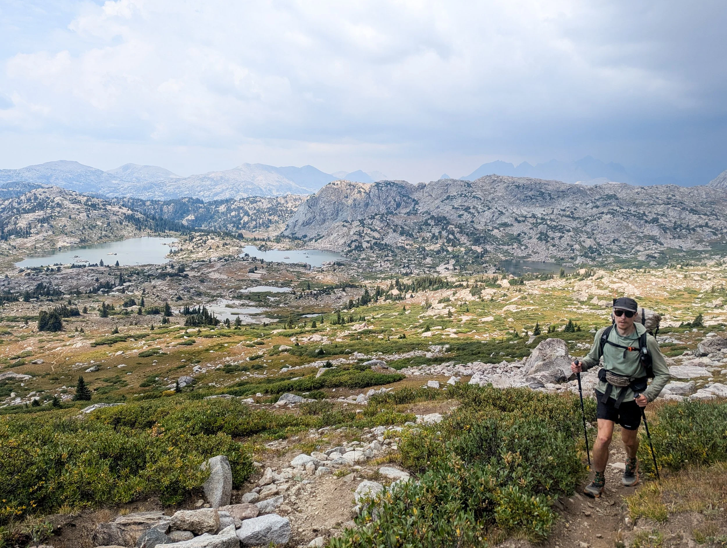
A storm brews behind Jonathan as he approaches the top of Lester Pass.
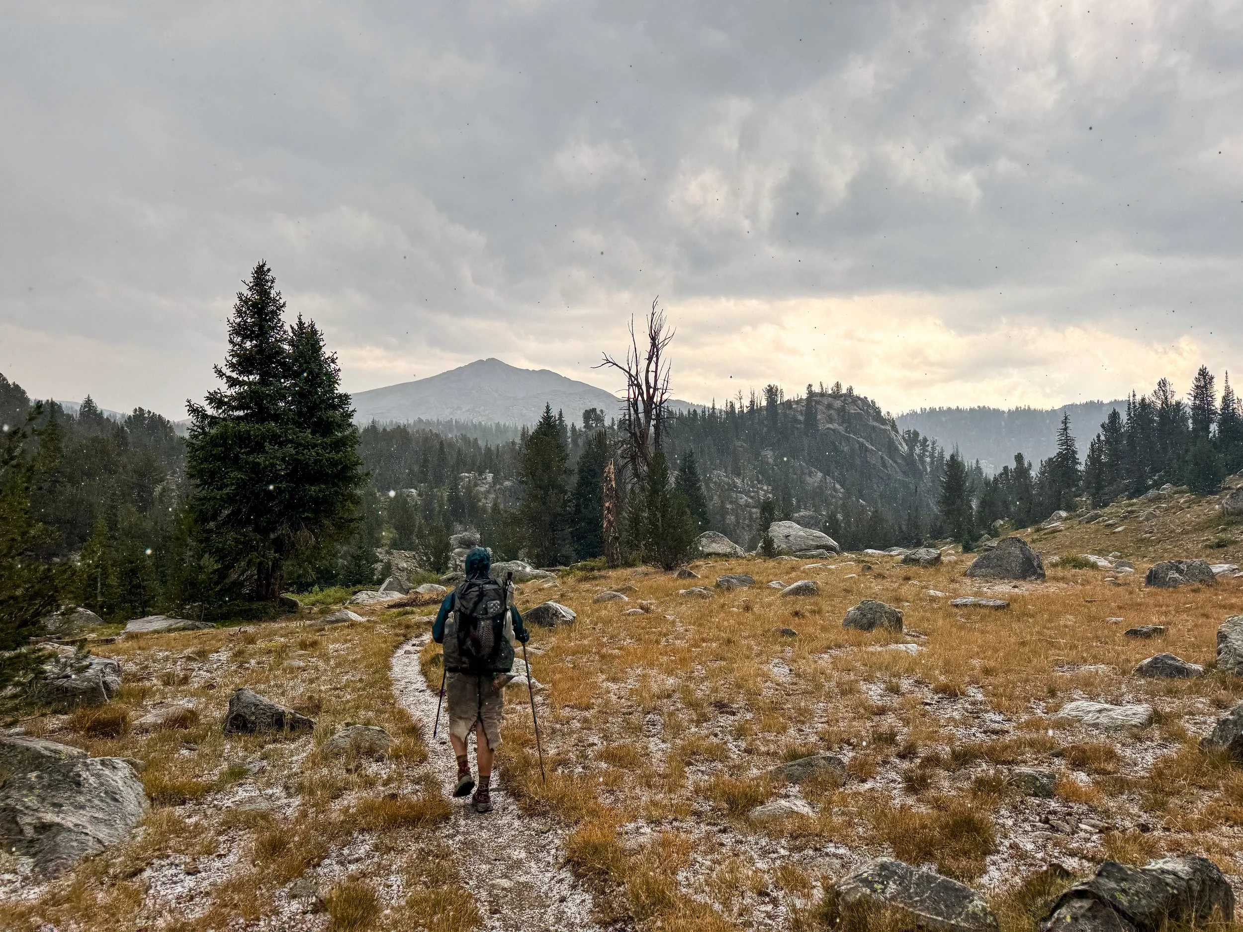
Climbing over our high point for the day, the storms were already brewing and the thunder rumbled around us. It started hailing as we hiked down into the next valley. All afternoon it rained, hailed, and thundered. The wind whipped around us. We were freezing cold when we ducked into a dense copse of spruce trees to put on some extra layers and wolf down as much sugar as we could stomach. The rain let up for a while when we reached camp, mercifully allowing us to set up our tent before it began anew.
Hail coats the ground and continues to fall as we hike on deeper into the Winds.
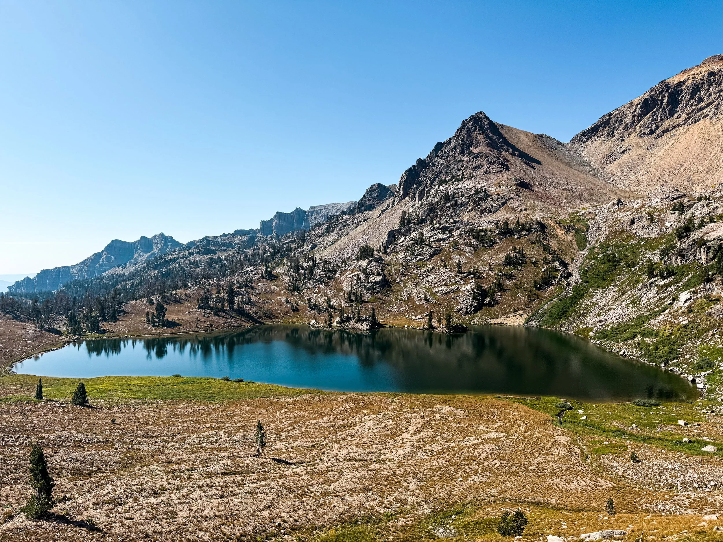
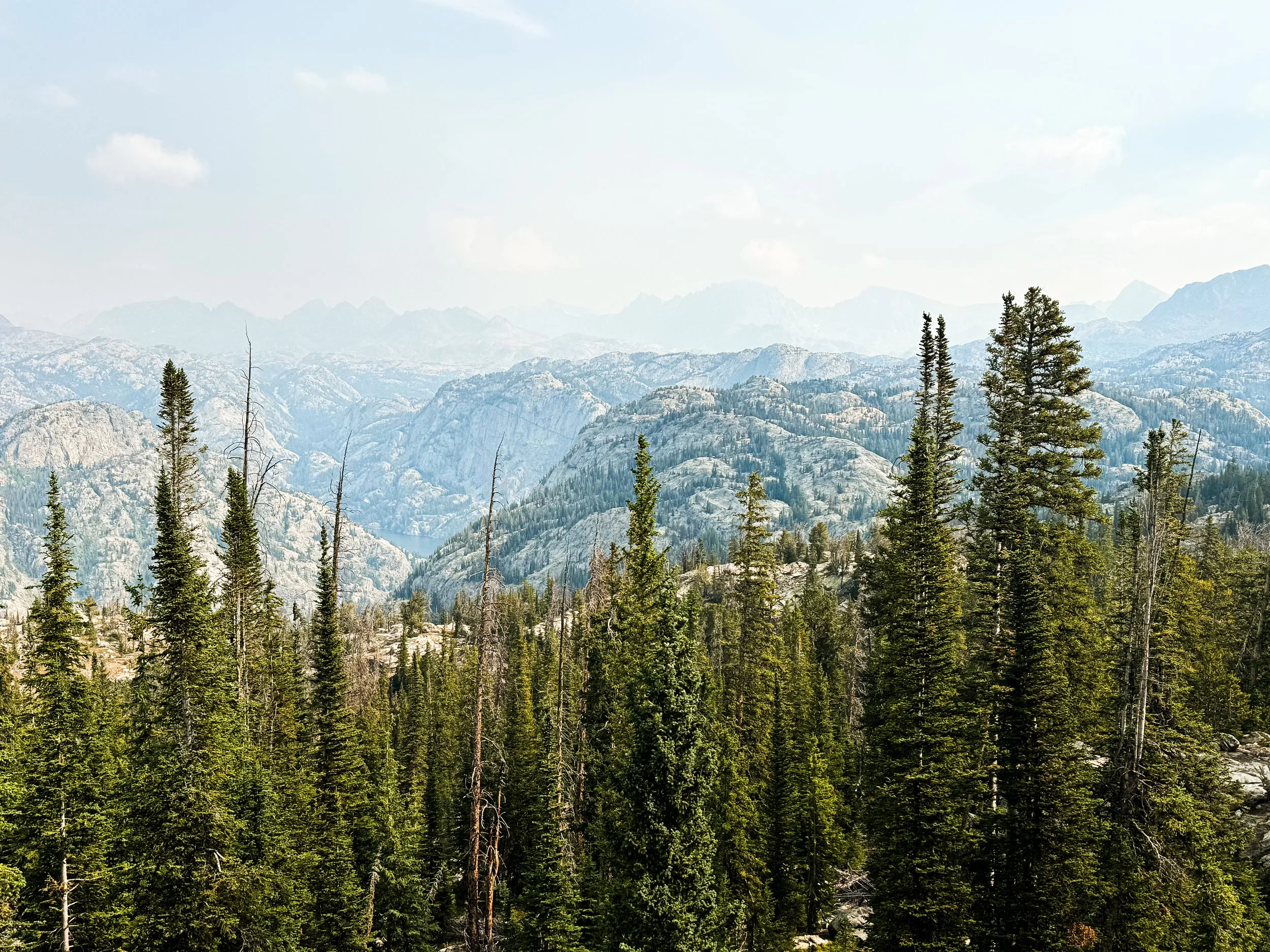
We did still get some nice views in the Winds.

The Winds are supposed to have some of the finest views on the whole CDT. Unfortunately, thru hiking sometimes leads you to a place at the wrong time to enjoy it. We got some glimpses of the Cirque of the Towers from afar, but that alternate — reported to be one of the best hikes in the world) — takes you up and over two eleven thousand foot passes. With 100-foot visibility, rain pouring down steadily, and storms in the forecast all day long, we made another hard call to walk past it on the red line, which stays below treeline.

It sure was nice to have an umbrella as it rained all day.
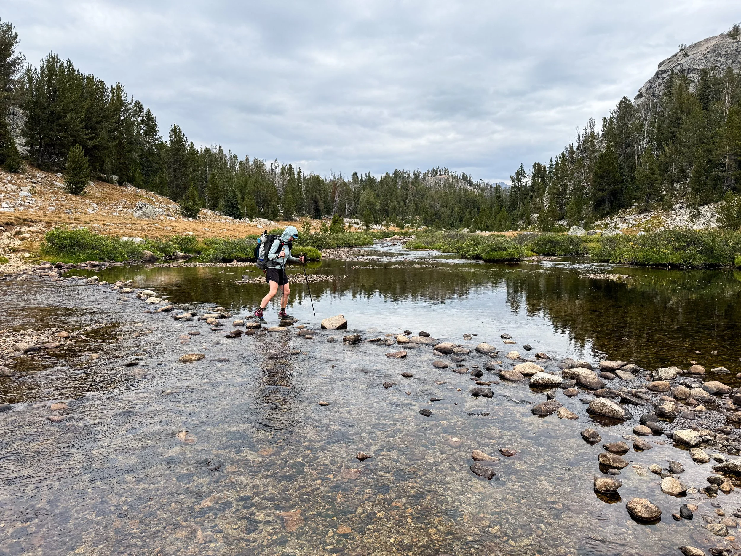
Such a long rock hop!

Seeing the aspens start to change brings both wonder at their beauty and anxiety about the changing seasons.
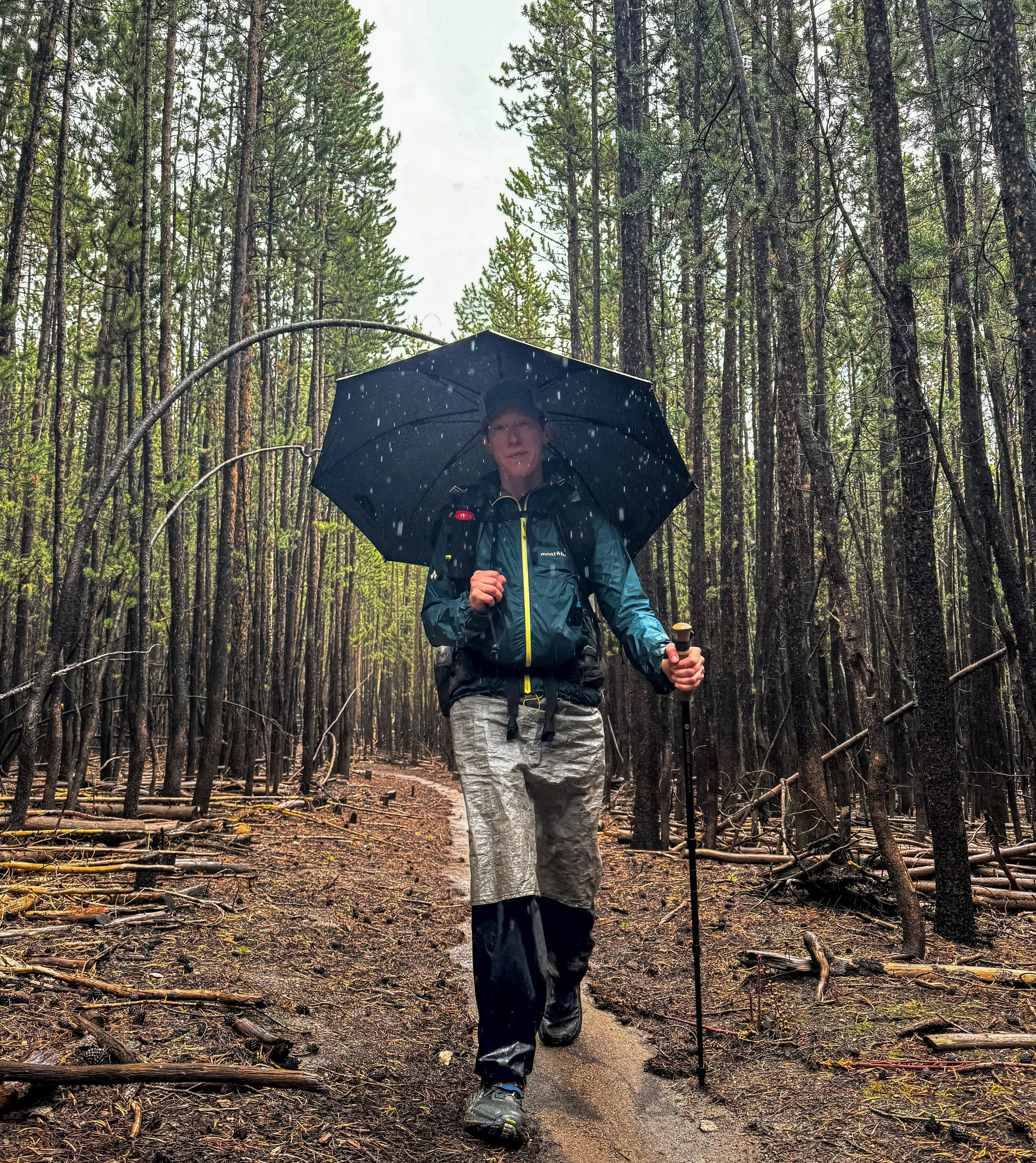
The umbrella continues to be a good friend on our long, rainy walk through the forest.
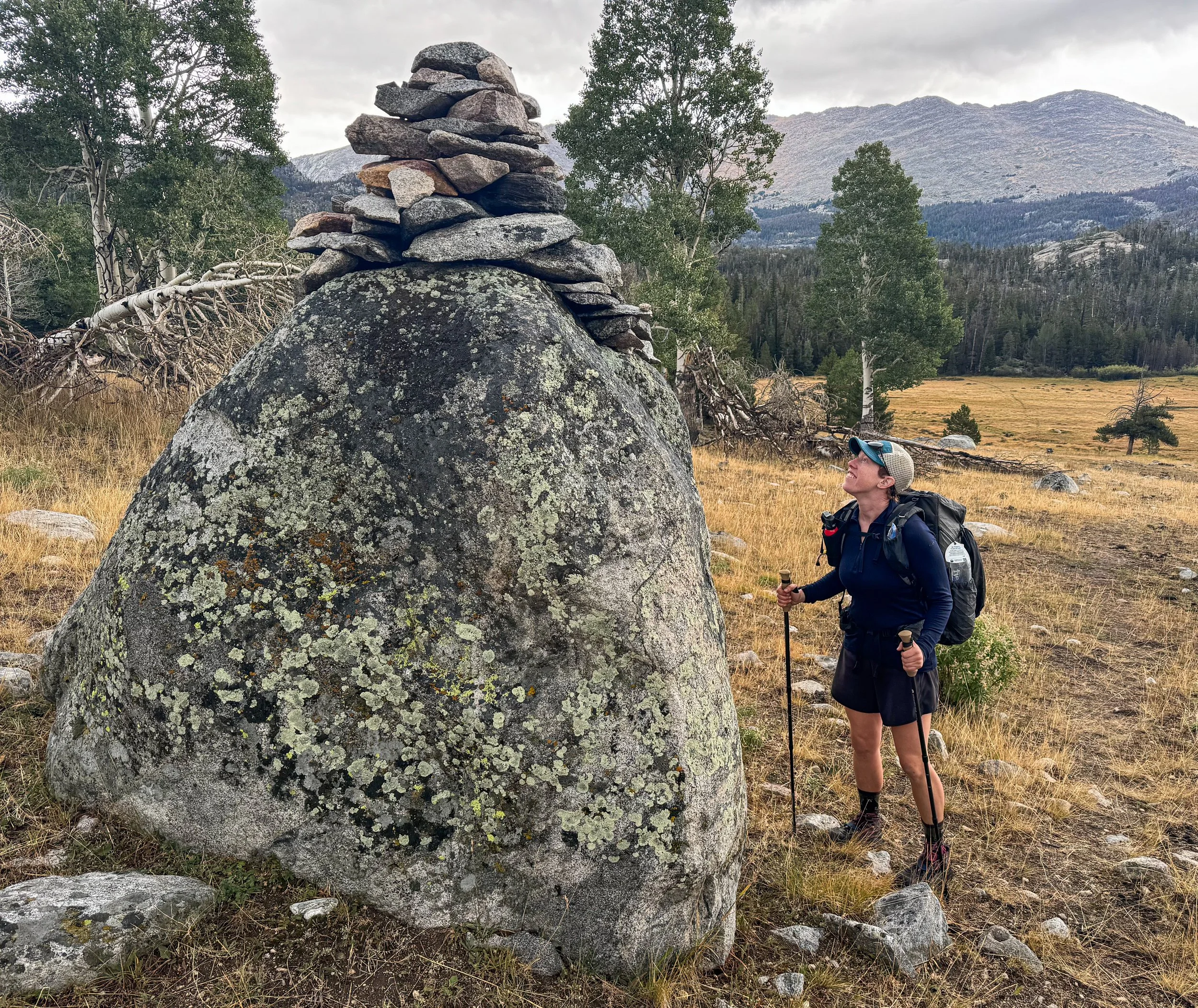
Molly stops to appreciate the whimsy and delight of this giant cairn in the midst of stressful times.
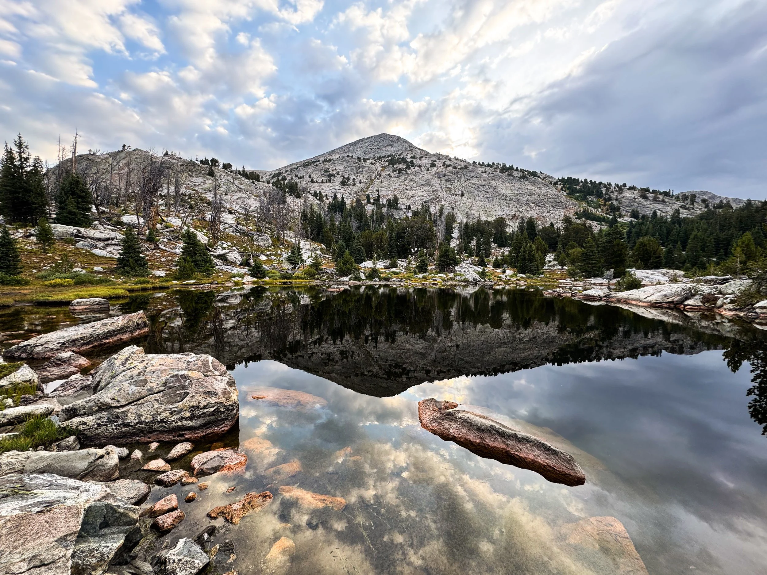
When we finally reached the end of the Winds, we got one good view looking back. Perhaps the weather was beginning to turn; perhaps our luck would turn with it? After giardia, COVID, a too-close call with a wildfire, and the constant lightning storms through the Winds, what would the Basin throw at us next? We stuck out our thumbs on highway 28 and headed to Lander for a little rest before we had to find out.
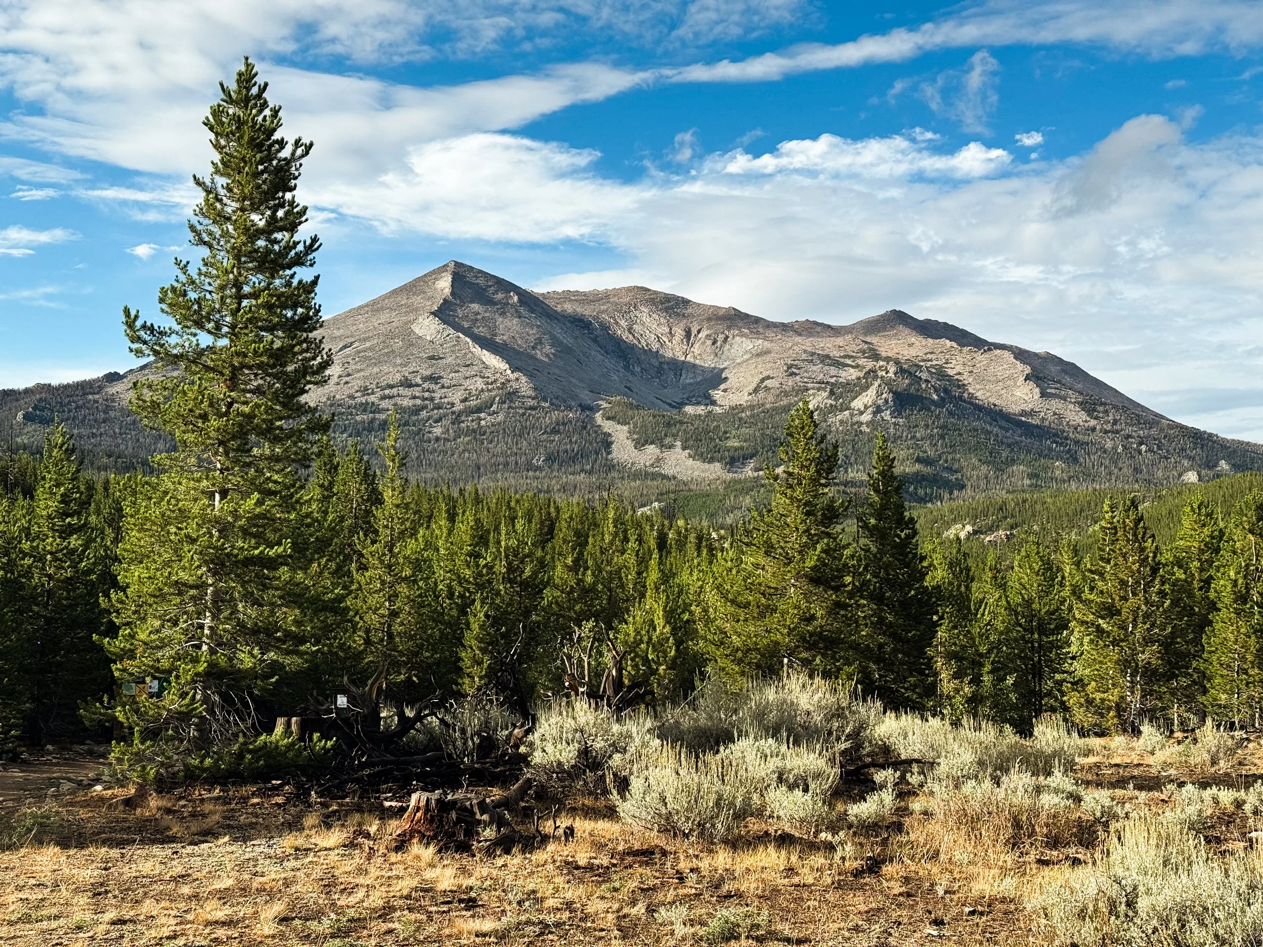
Looking back at the Winds, we got our one clear view of these majestic mountains. We’ll be back.