
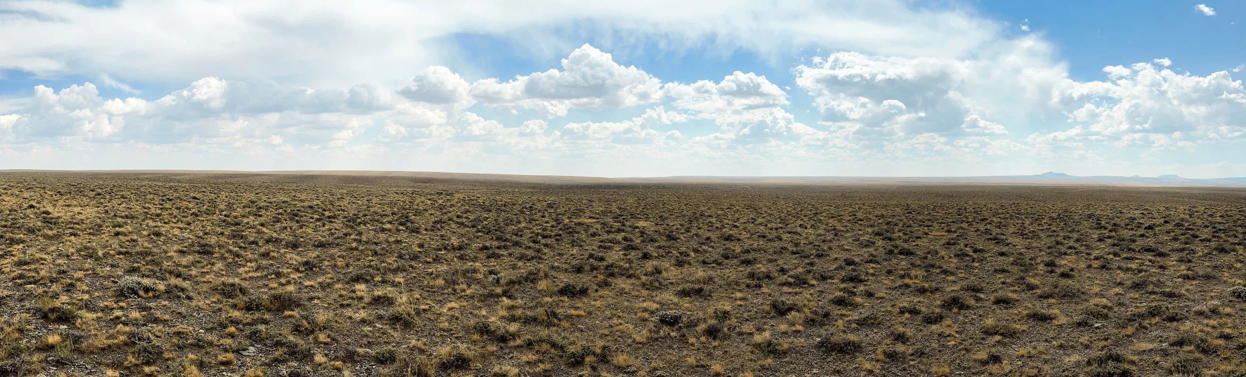
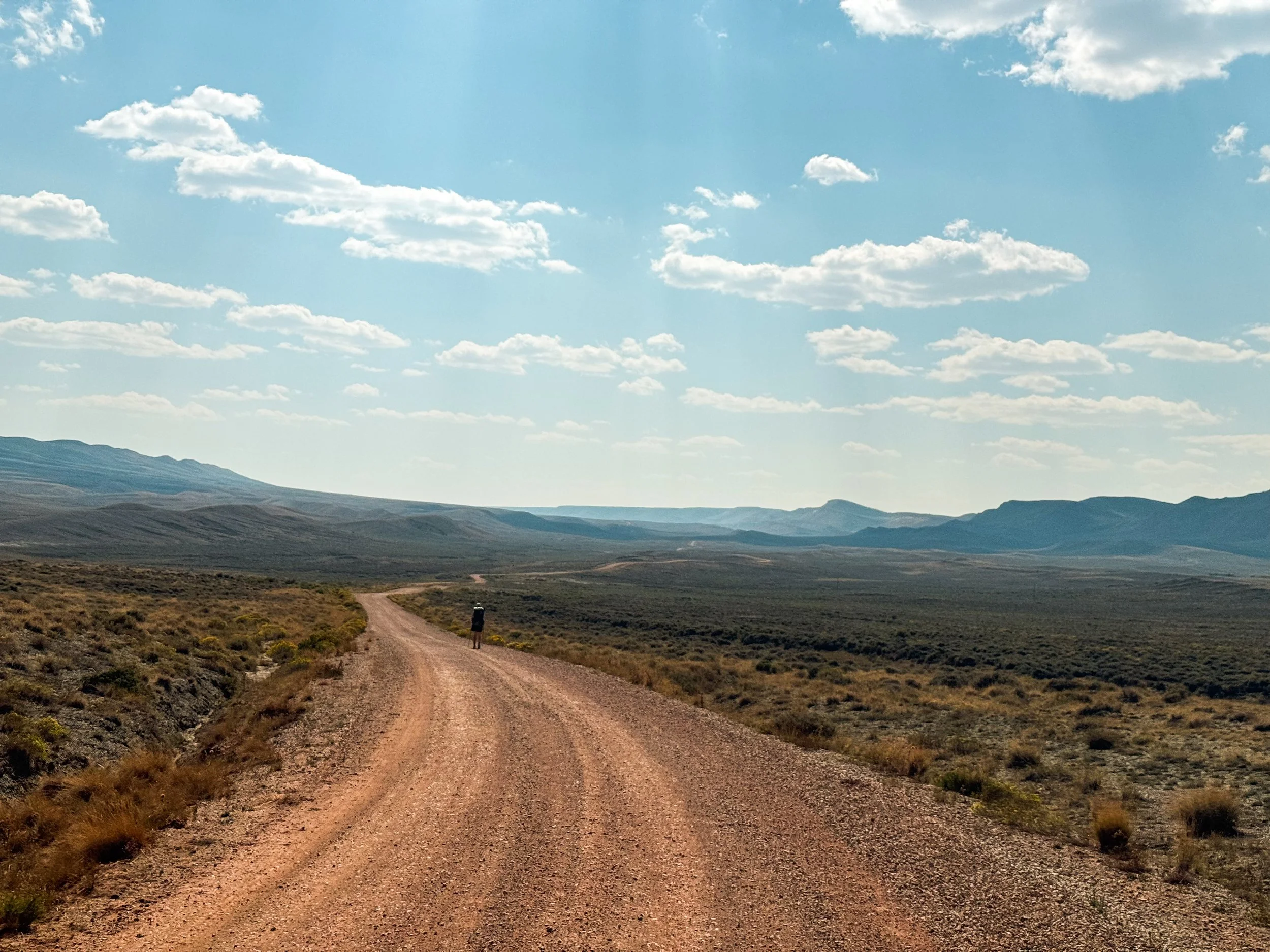
The Great Divide Basin
Wyoming’s Great Divide Basin was undeniably the weirdest part of the CDT so far. The Continental Divide splits around this huge, flat desert, leaving a wide endorheic basin surrounded by the two ridges of the Divide to the east and west. endorheic means that any rainwater falling into the basin drains only into that basin’s own interior, not to any external river or ocean. The Great Divide Basin sits at a much lower average elevation than the trail to the north and south, it has no real mountains to speak of, and it is just a completely open expanse. There is no one there – in the whole basin, there is only one incorporated town, population 203 as of 2020.

Hikers mostly use the flat terrain of the Basin to get through a lot of miles as quickly as possible. We were a bit behind schedule after leaving the Winds, so we fully embraced the idea of pushing through some extra miles to get us back on track. On our first full day, we hiked 31 miles with only 2077 feet of elevation gain. To put that in perspective, on our first full day in the Winds, we covered just over 20 miles with almost 5000 feet of gain; that's nearly four times as much gain per mile. On our second day, we decided to go a little bigger.
We’d already been walking for almost an hour when the first rays of light spilled over the horizon, revealing a herd of antelope along the crest of the ridge above us in silhouette. As the sun rose, we watched them run along the ridgeline like a scene from National Geographic.
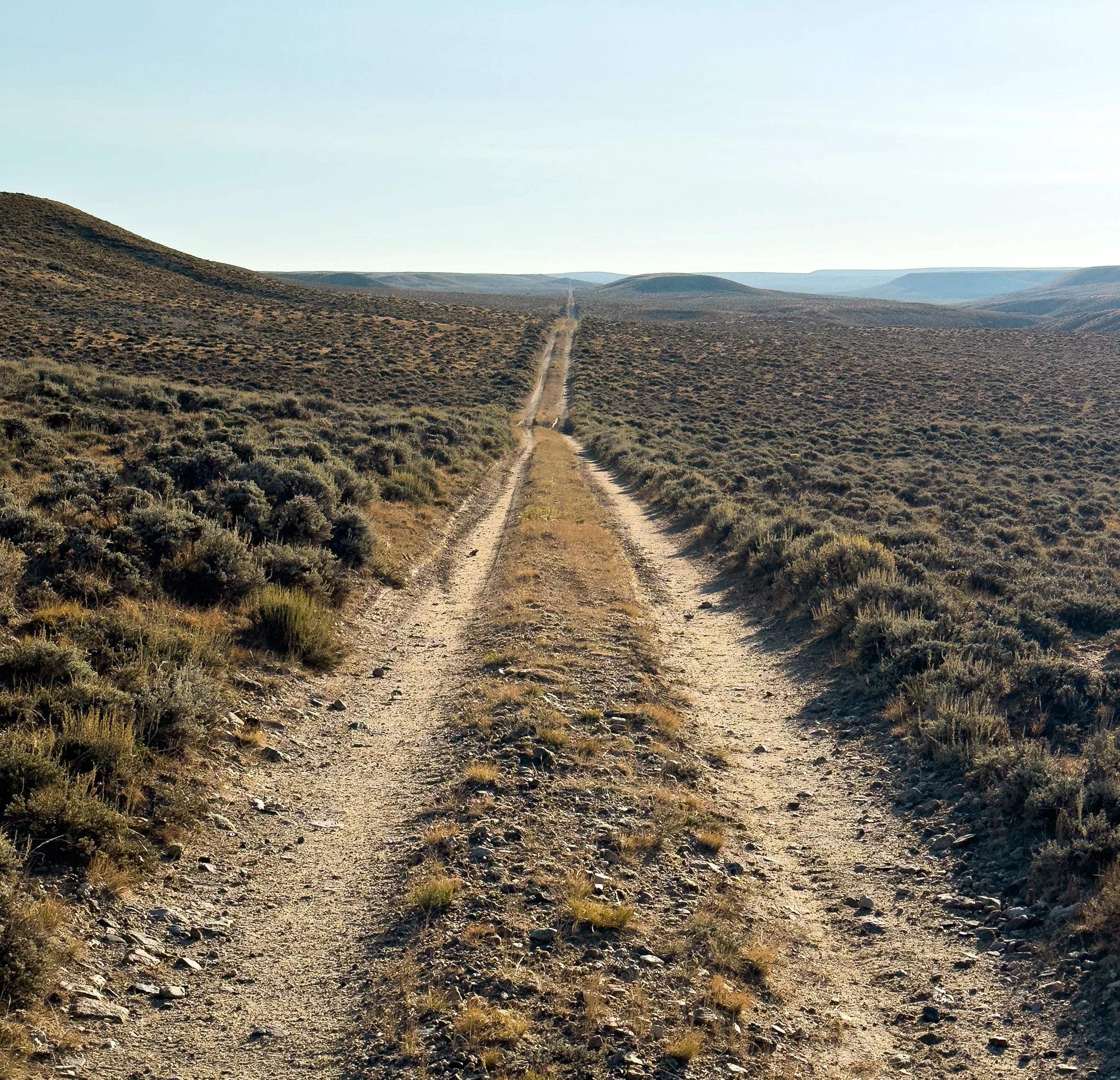
After the stunning sunrise, the view settled into a slowly undulating sea of sagebrush and sand. The arrow-straight, unchanging trail made us appreciate how much our hiking brains rely on the endlessly diverse forests and mountain landscapes. This perpetual sameness makes the Basin a mental challenge as much as a physical one. We both plugged in our headphones and listened to podcasts for a few hours to give our brains some stimulation as our feet moved us forward.
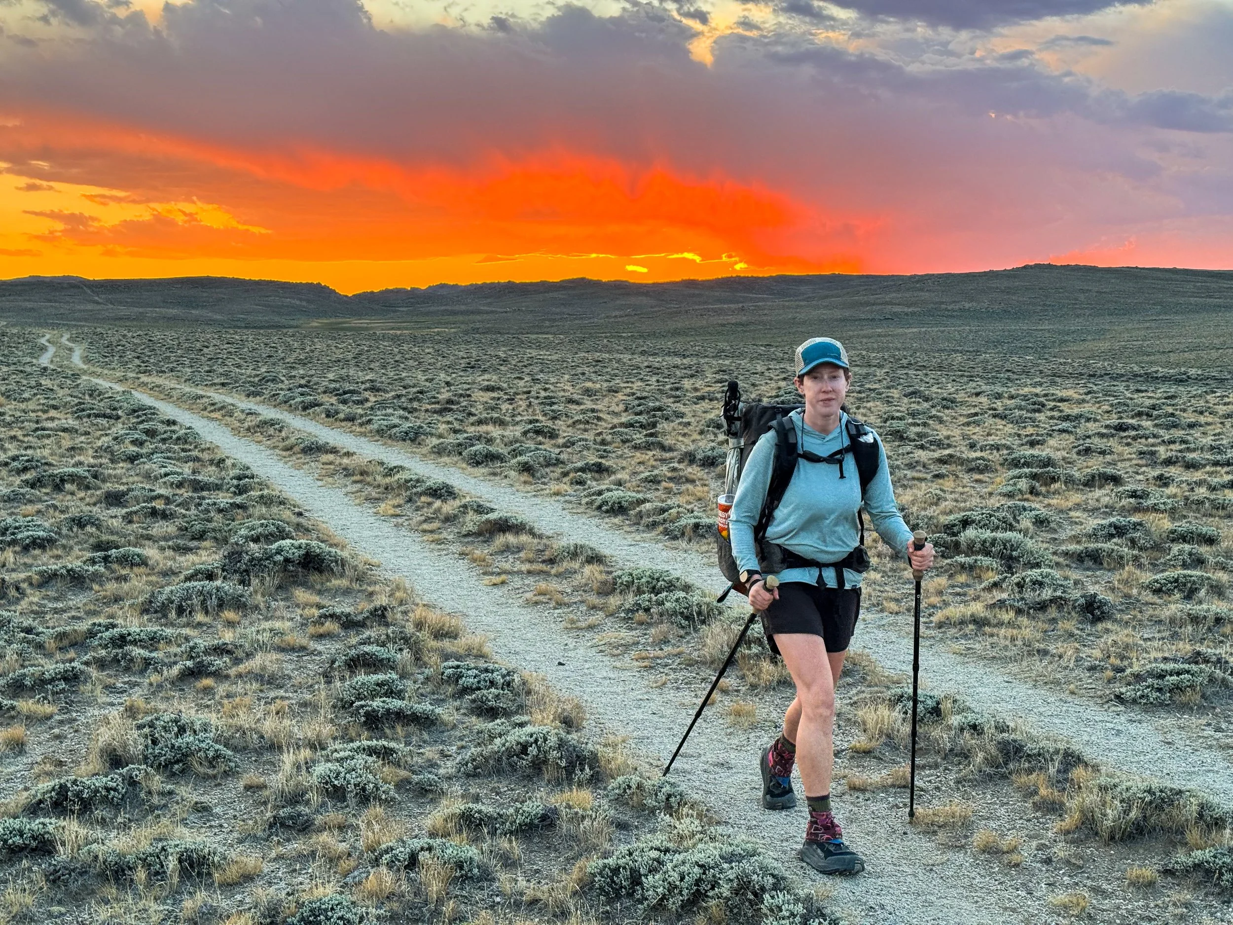
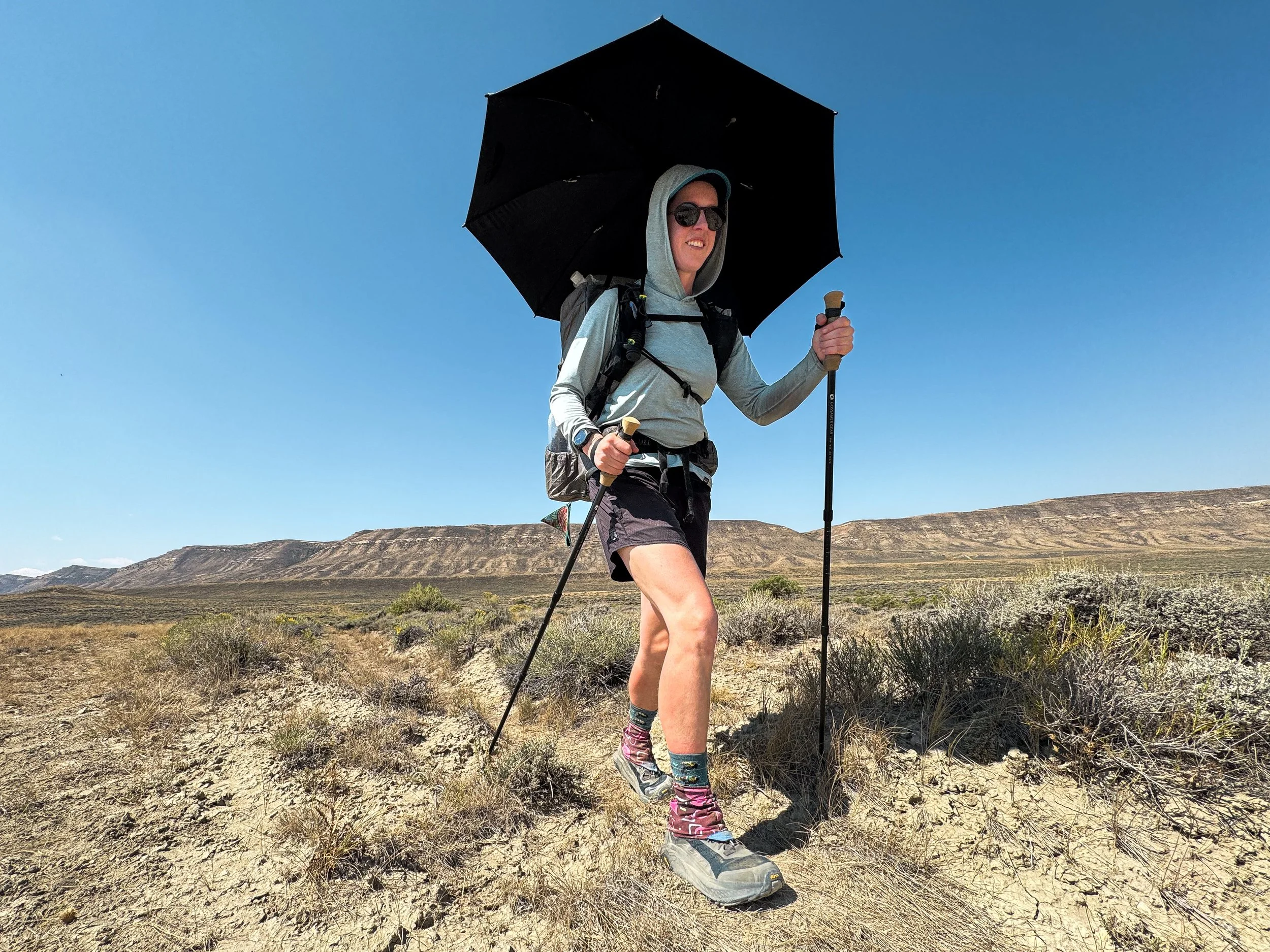
The heat became intense and our chrome-topped umbrellas became a vital resource to help us stay cool. We rigged them to our backpacks and carried on, slightly more protected from the glaring sun, and reminisced about the lovely shade of trees.

Though we encountered very, very few people in the Basin, huge swaths of the land are used for grazing cattle, which takes a massive toll on the land. The cows churn up the soil, decimate the vegetation, and turn every spring, creek, and pond into a shit-filled mudhole. Lovely. As part of the Red Desert, the Basin gets just 7-10 inches of rain each year on average. Water is an extremely limited resource. For hikers, this means carrying water for miles and sometimes venturing off trail to find even remotely reasonable water sources to pull from.

This lake may look pretty from a distance, but don't let it fool you. It's a giant pool of stagnant water and the second worst water source we had to pull from.
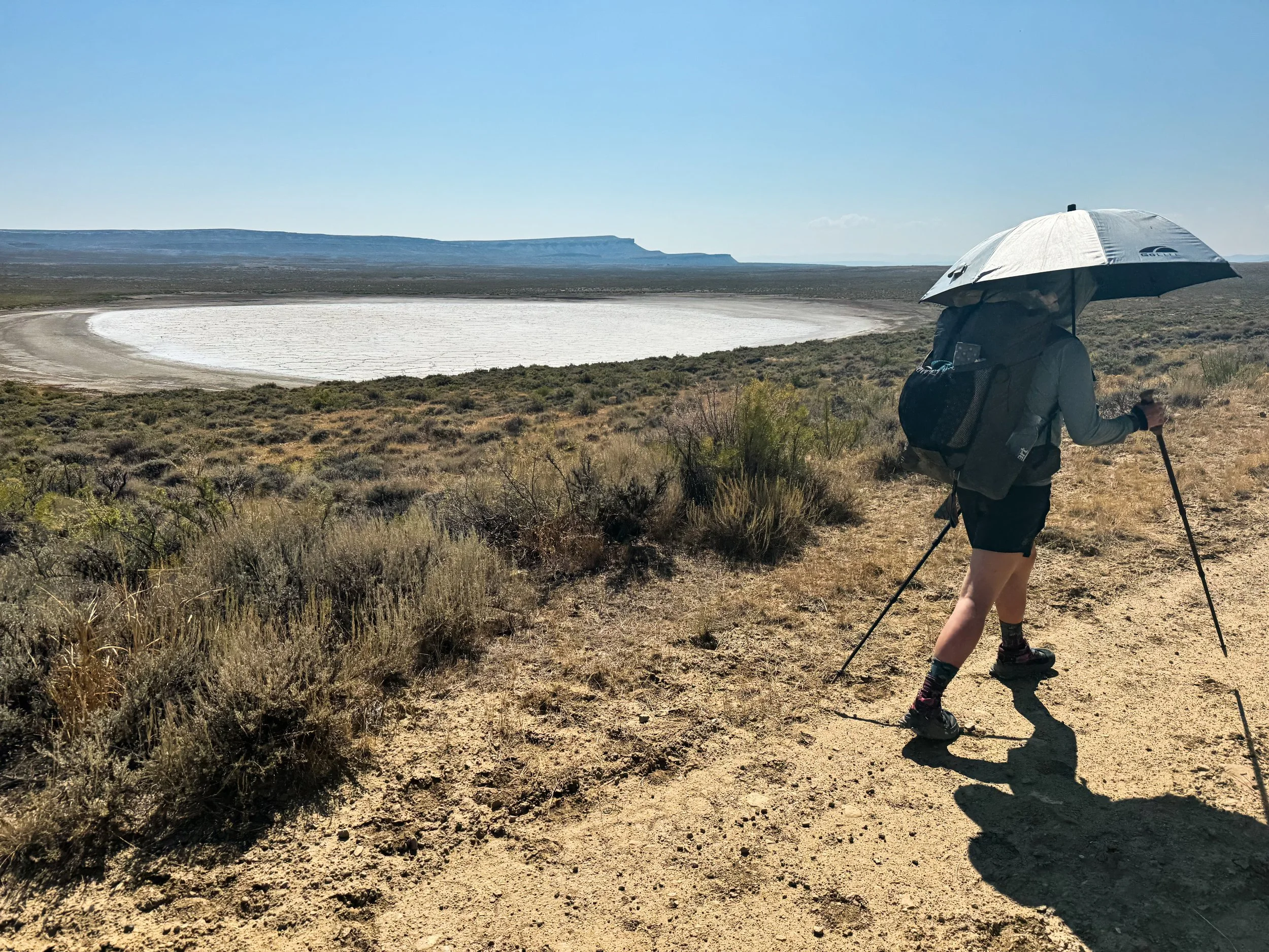
Don't let this one fool you either. It's just a dry bed of salt and dirt.
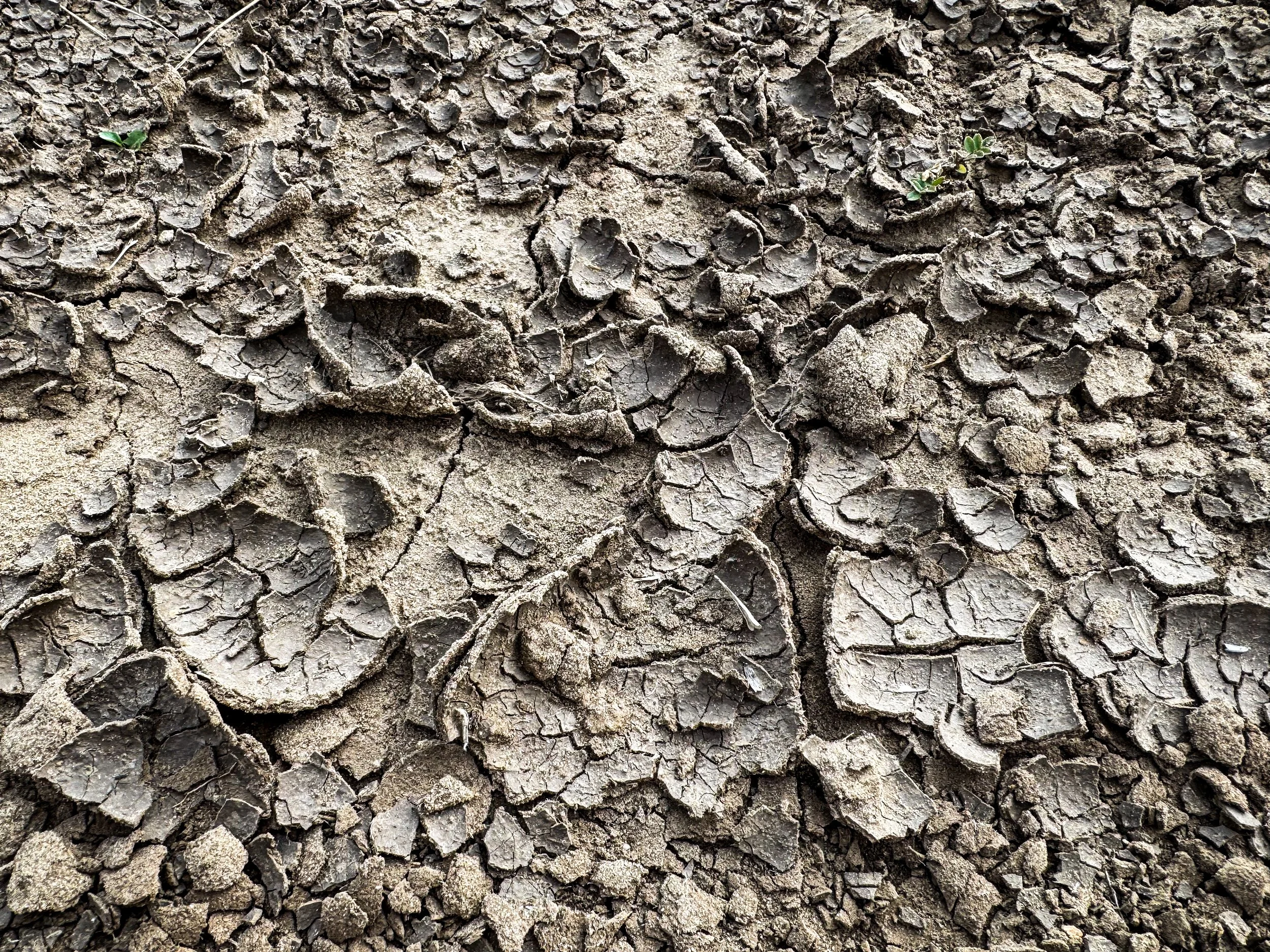
The ground was so dry it crackled and crunched underfoot.
During some of the year, local groups fill up water caches along the dirt roads, leaving gallon jugs of clean water for hikers to fill up. But we had arrived too late. Every water cache we came to was empty, leaving us to make do with what was available. Midday, we were forced to fill up at a large pond surrounded by cow pies. As I inspected the water, a hawk dove down toward the pond to harass some ducks feeding in the weeds along the far side of the pond. The water was slightly murky and full of… life. There were small, round organisms flitting around with long tentacle-like appendages and little bugs cruising along the muddy bottom. I gagged a little as I bent down to fill our dirty water bag. The next water source was over 20 miles down the trail, so we fortified ourselves and collected what we needed. We carry both a ceramic Sawyer filter and also water treatment tablets, so we double-treated the water, then added flavoring to cover up any lingering taste issues.

Molly scoops water into the CNOC bag where we store dirty water before squeezing it through our filter. This might be the worst water on the whole CDT.
As the afternoon of that second day wore on, we climbed over some low ridges, mostly on two track gravel roads. Mile after mile after mile, the trail rolled along straight through the sagebrush. We ate dinner just before the sun set, in the company of two suspicious mama cows and their admittedly adorable calves. Then we put on our headlamps and walked on into the dusk.
When it was too dark to see our feet, we turned on the headlamps and kept on rolling. Coyotes began howling and yipping somewhere in the darkness and the howls were answered from the other side of the trail. I got spooked at some eyes glowing back at me down the trail — a coyote? A mountain lion? A wolf?! Nope, just a cow.
We heard some chirping from close by and spotted a common poorwill crouched under a sage bush. Then suddenly something swooped over our heads. We looked up and put headlamps illuminated a snowy owl circling just a few feet overhead. It circled around us again, then dropped to eye level to examine us, pumped its wide wings twice to steady itself in the air, then soared away in complete silence
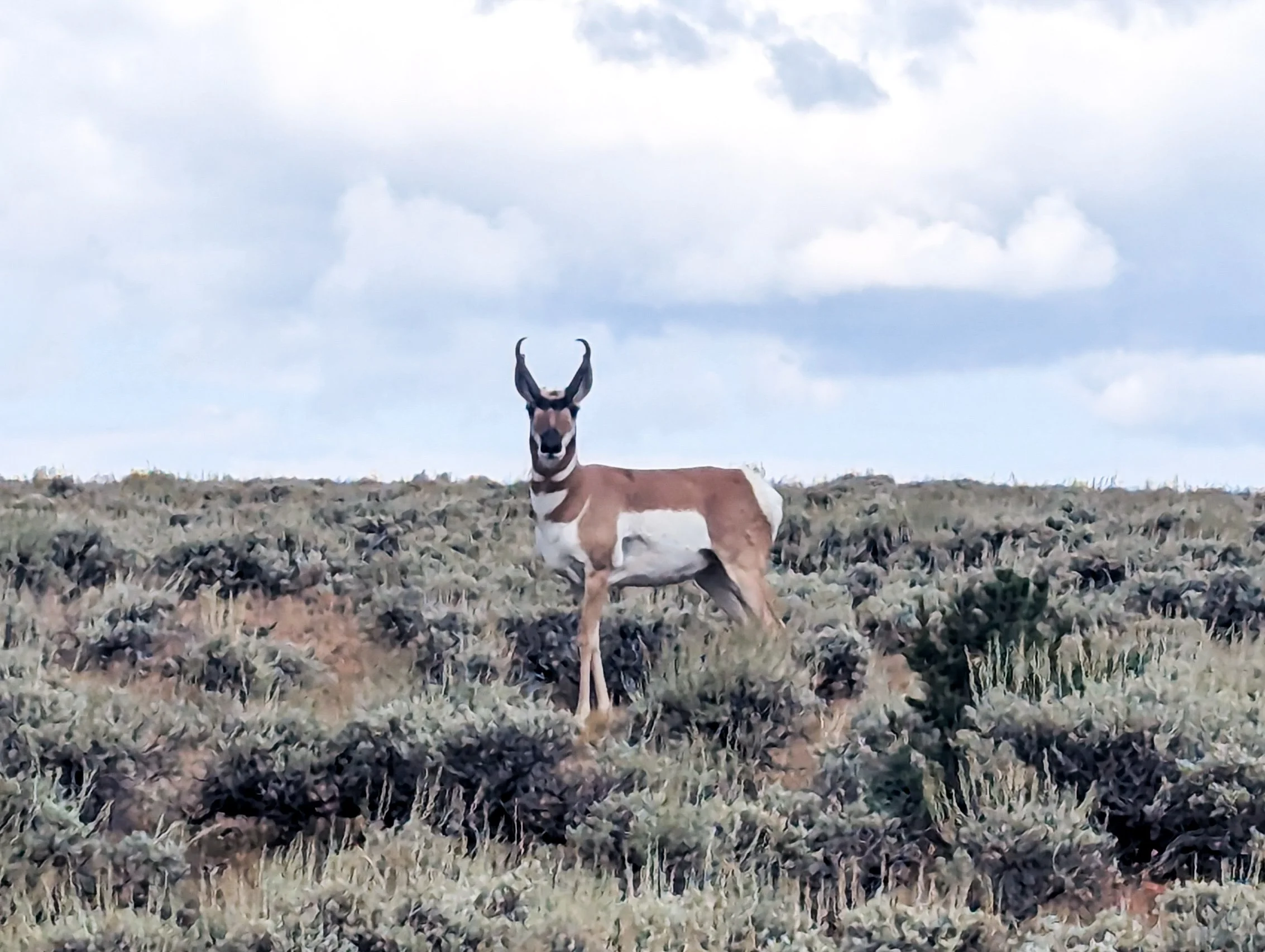
A curious antelope
It was 10:45pm or so when we finally set up the tent having successfully completed a 40 mile day.

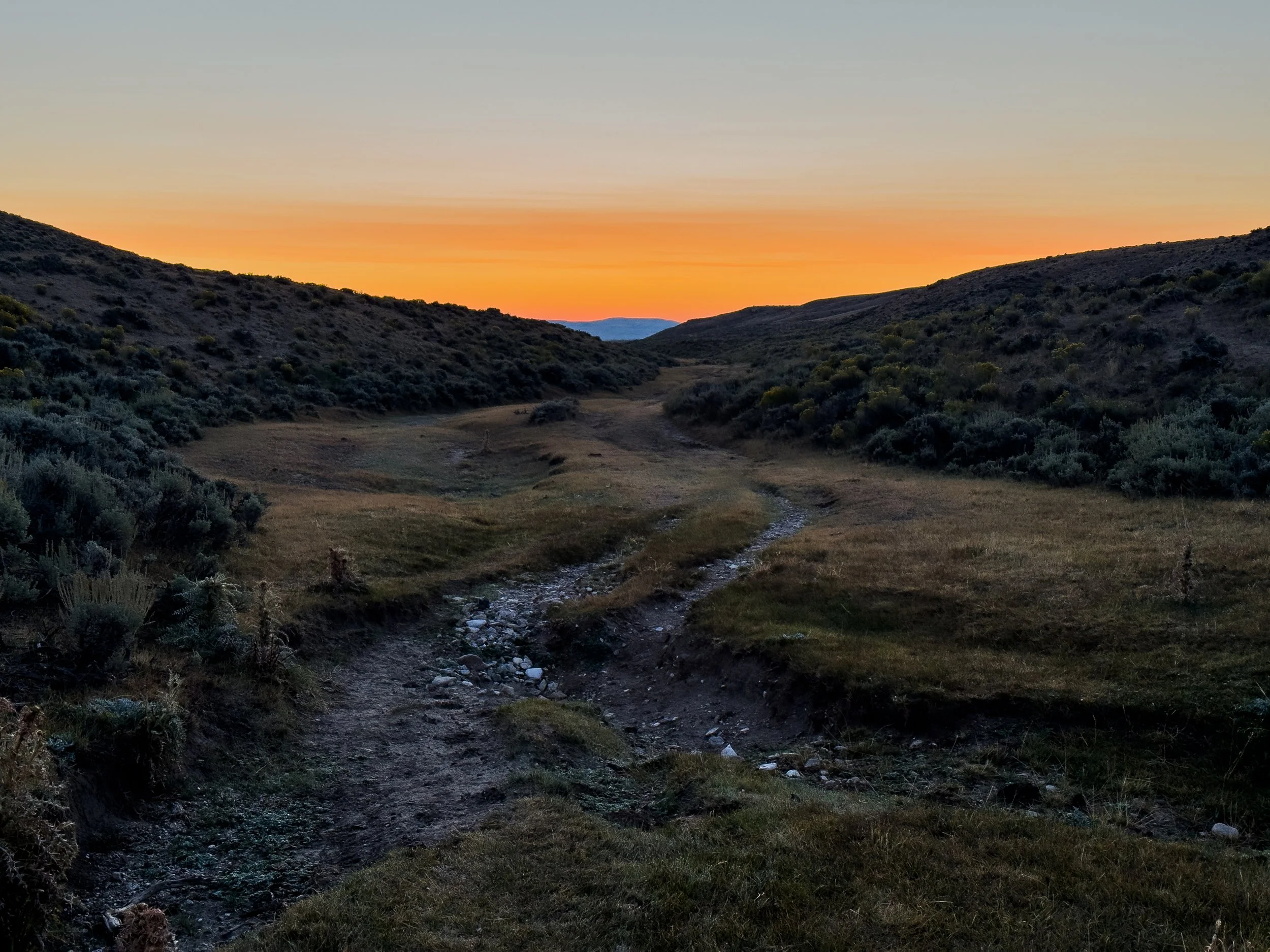
The whole Basin was essentially this: flat, sandy, and hot with little water and not a tree for miles around. But we saw camouflaged lizards and wild horses, and one day we even met some church ladies, Adine and Donna, out driving their ATV through the expanse of sagebrush who gave us some water and drove our packs 5 miles down the trail. The sunsets and sunrises were something to behold. We're glad we hiked the Basin, but we're also glad to be done with it and probably won't be back soon. Stepping back into the first real forest, we both inhaled the damp, green scent of pine and soil. We've missed you, trees. We've missed you.
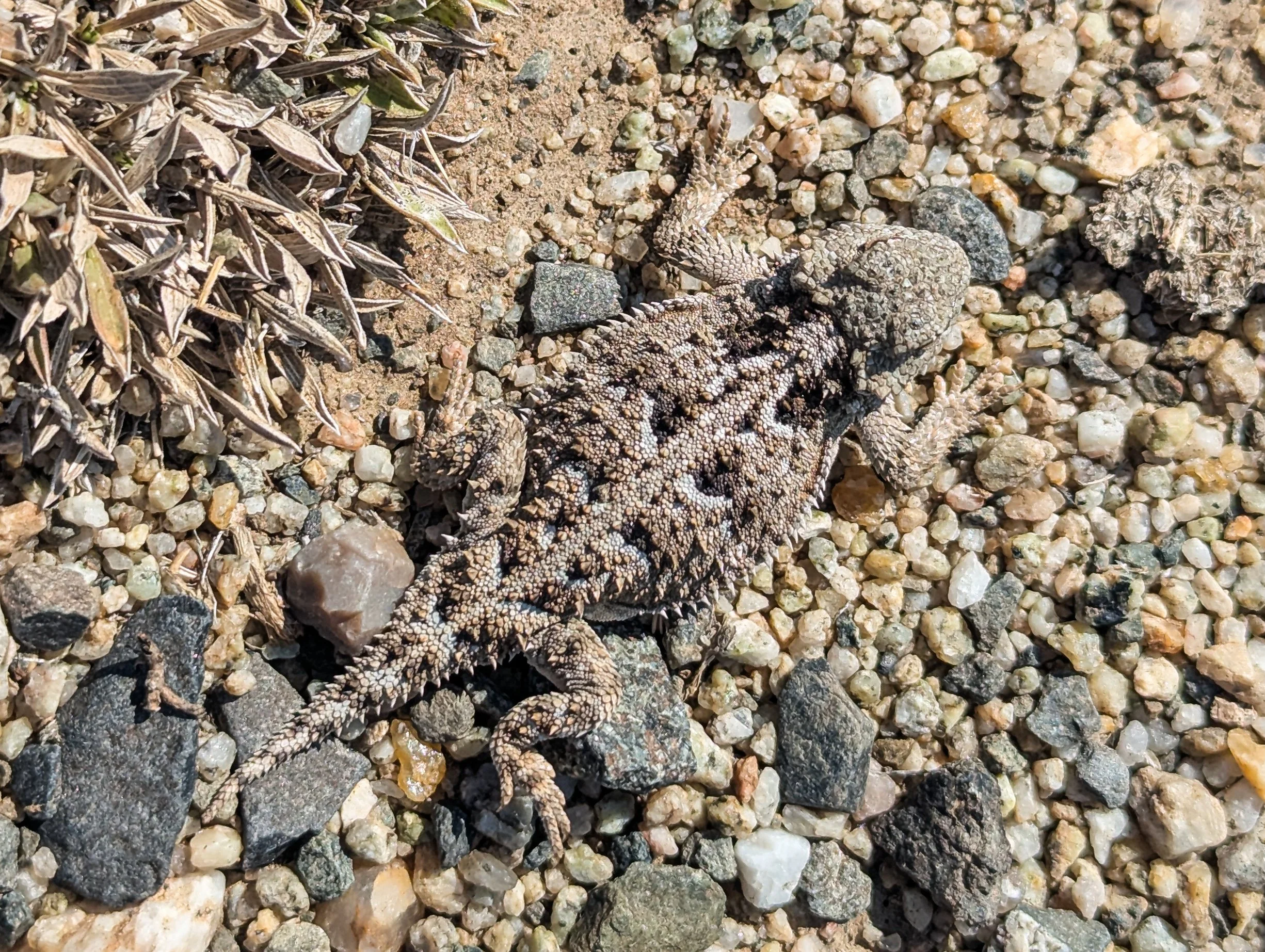
A lizard blending into the landscape to perfection

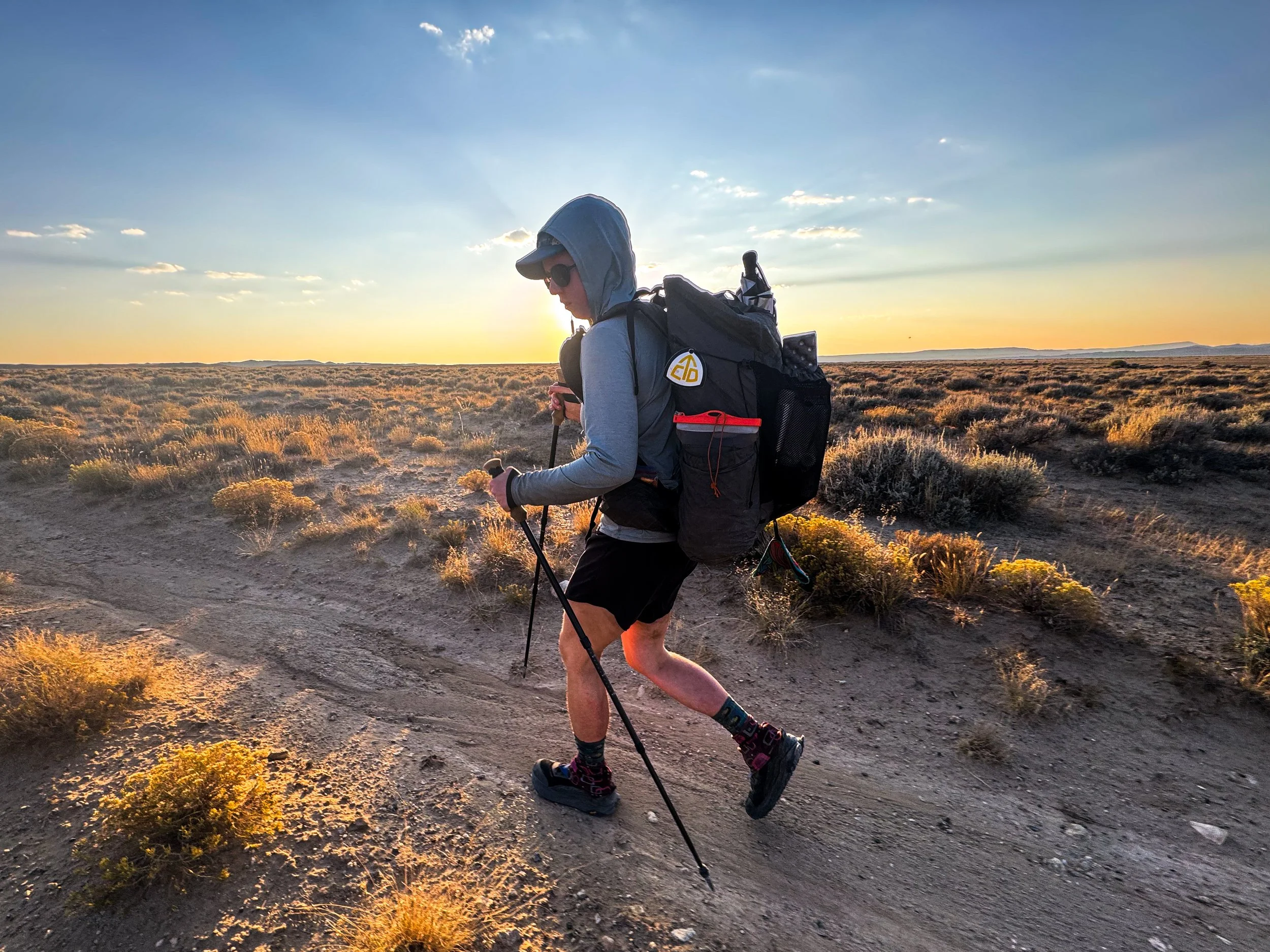
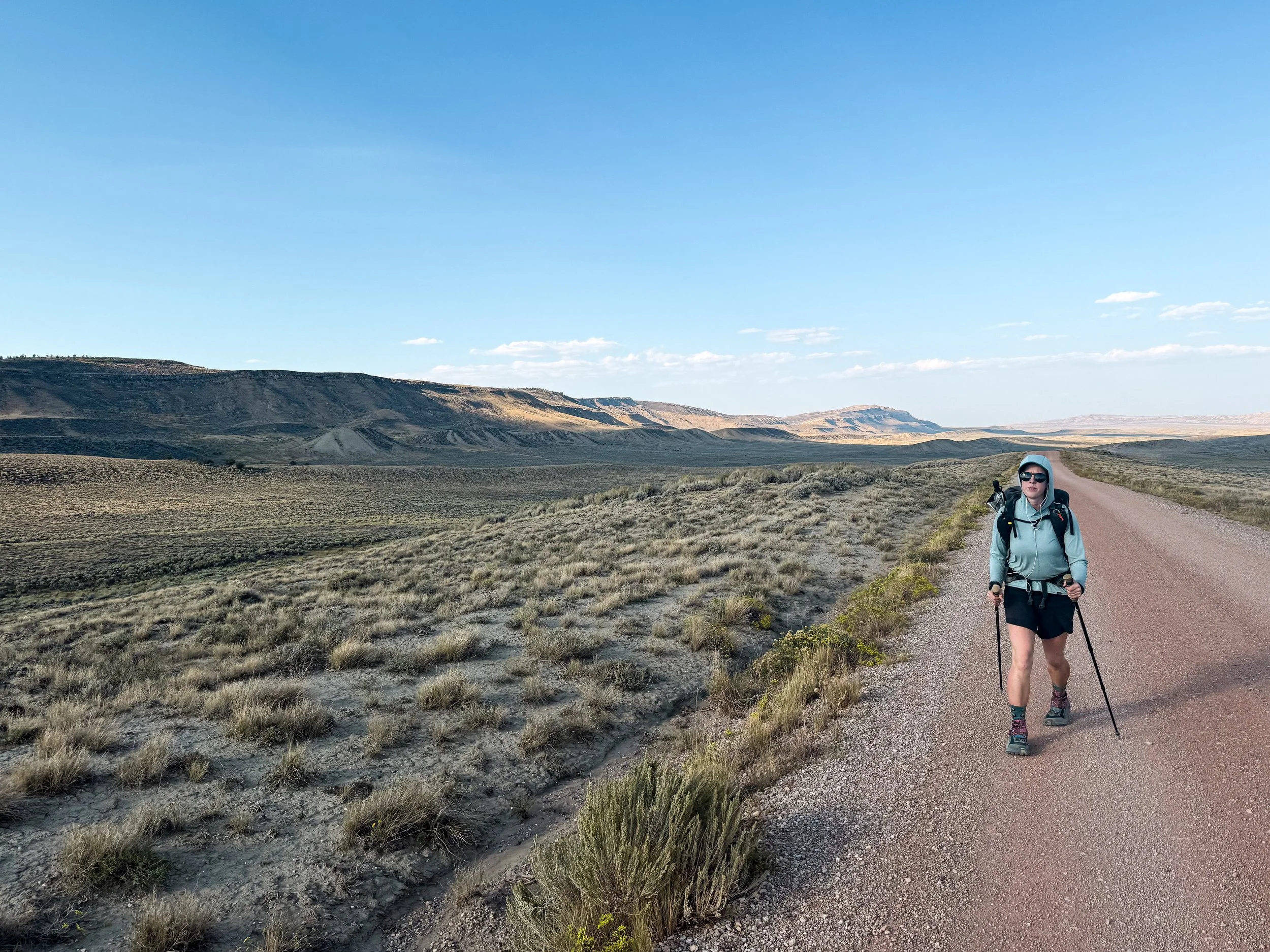
Jonathan strolls along without a pack during our impromptu slack pack courtesy of Adine and Donna